Tramping in Tongariro National Park
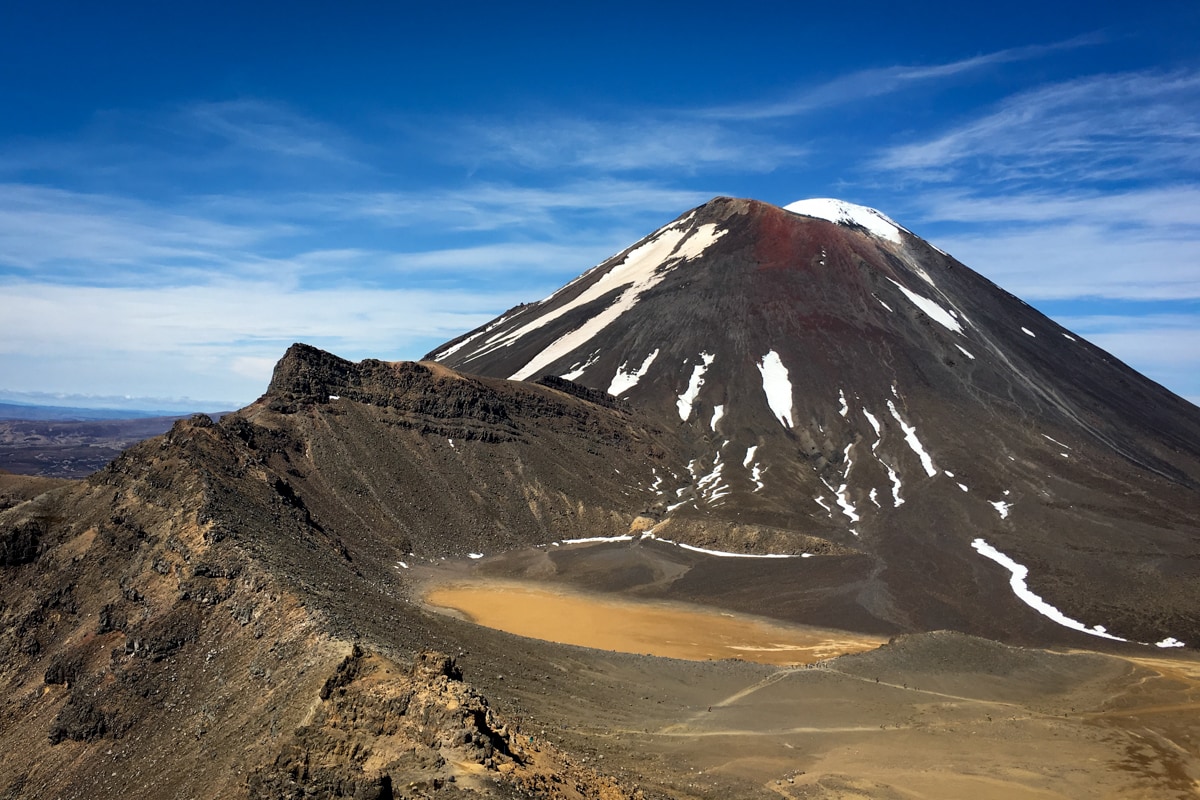
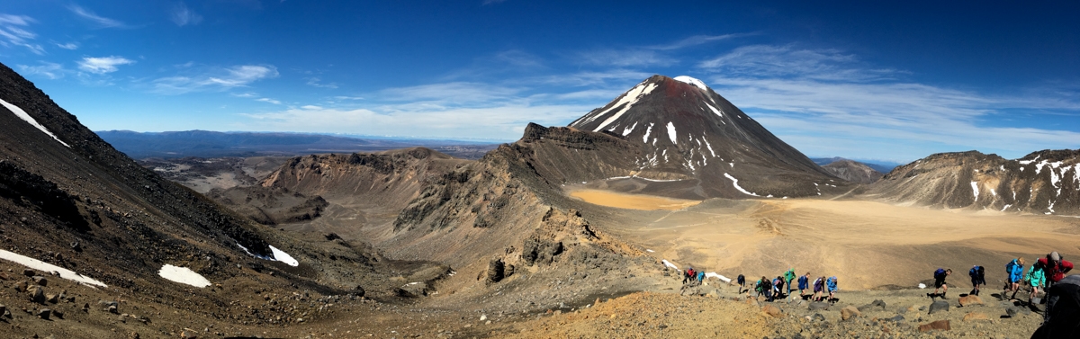
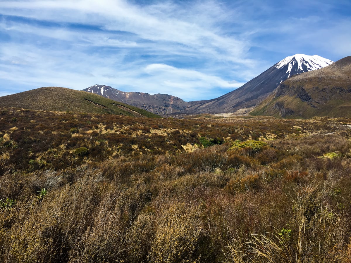
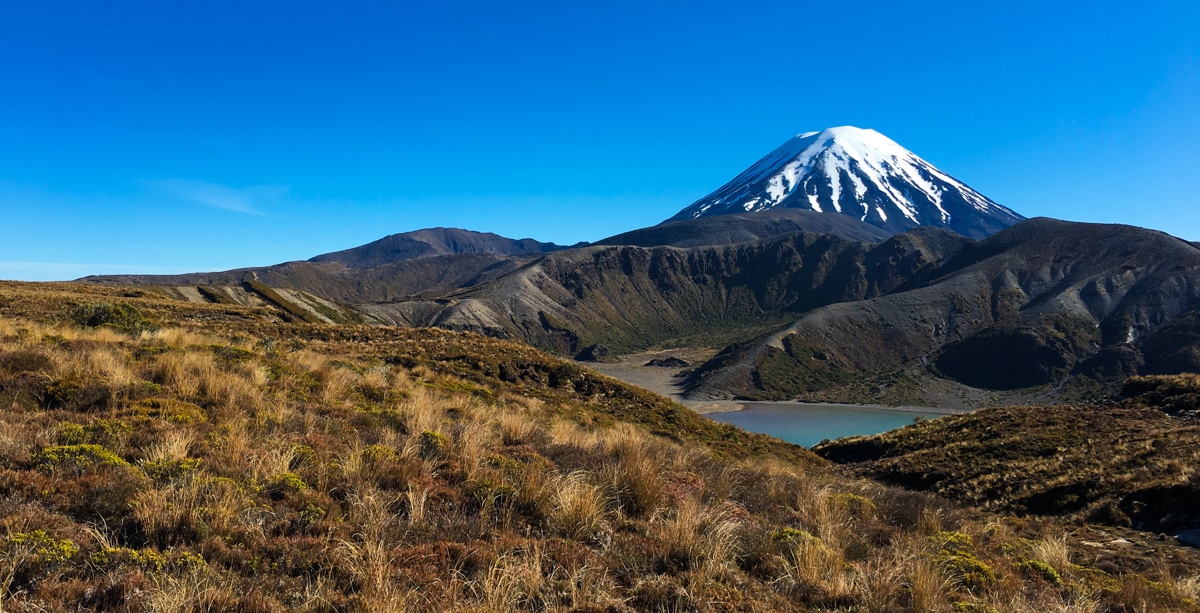
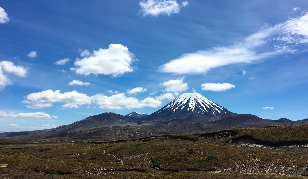
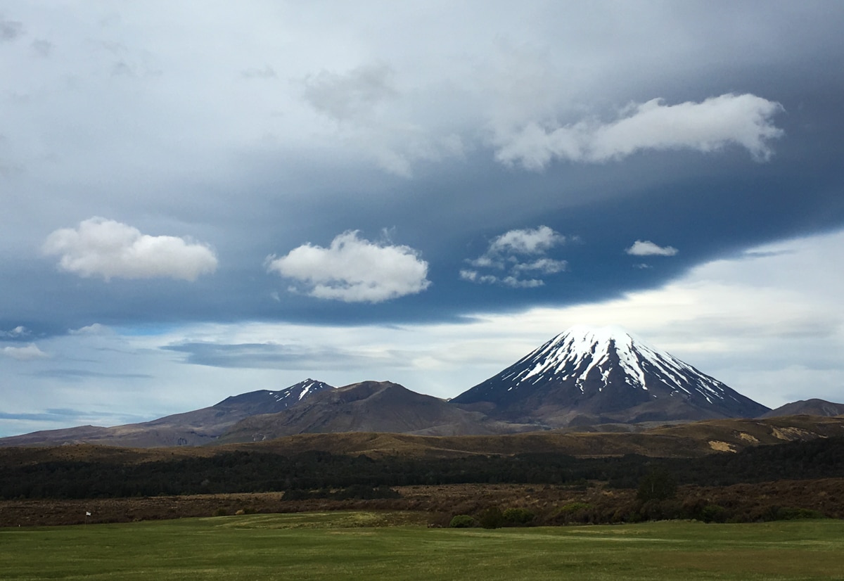
One of our pre-departure NZ bookings was for backcountry huts in Tongariro National Park (think volcanoes). We planned to follow the Northern Circuit track, which is a 50km loop around Mt Ngauruhoe, famous from its role as ‘Mt Doom’ in the LOTR series. The track also gives great views of Mt. Tongariro and Mt. Ruapehu and crosses through pretty interesting volcanic terrain. The second day of the track is named the ‘Tongariro Alpine Crossing’, and many books / websites / people will refer to it as the best day hike in NZ. Which is fun, because we ended up doing it twice.
Since we made these bookings 4+ months ago, we were pretty much hoping for the best when it came to weather. Turns out we didn’t have all blue skies like we were hoping for. The day before we were set to start, let’s call it Day Zero, there was a storm system forecast to appear in the park in Day 2 heading into Day 3. Since the Alpine Crossing is Day 2 of the Northern Circuit route, we deviated slightly from our original plan in order to make sure we had a clear and sunny Alpine Crossing day.
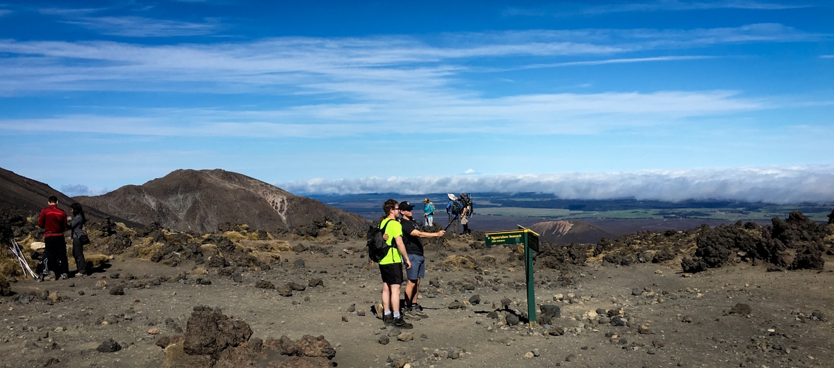
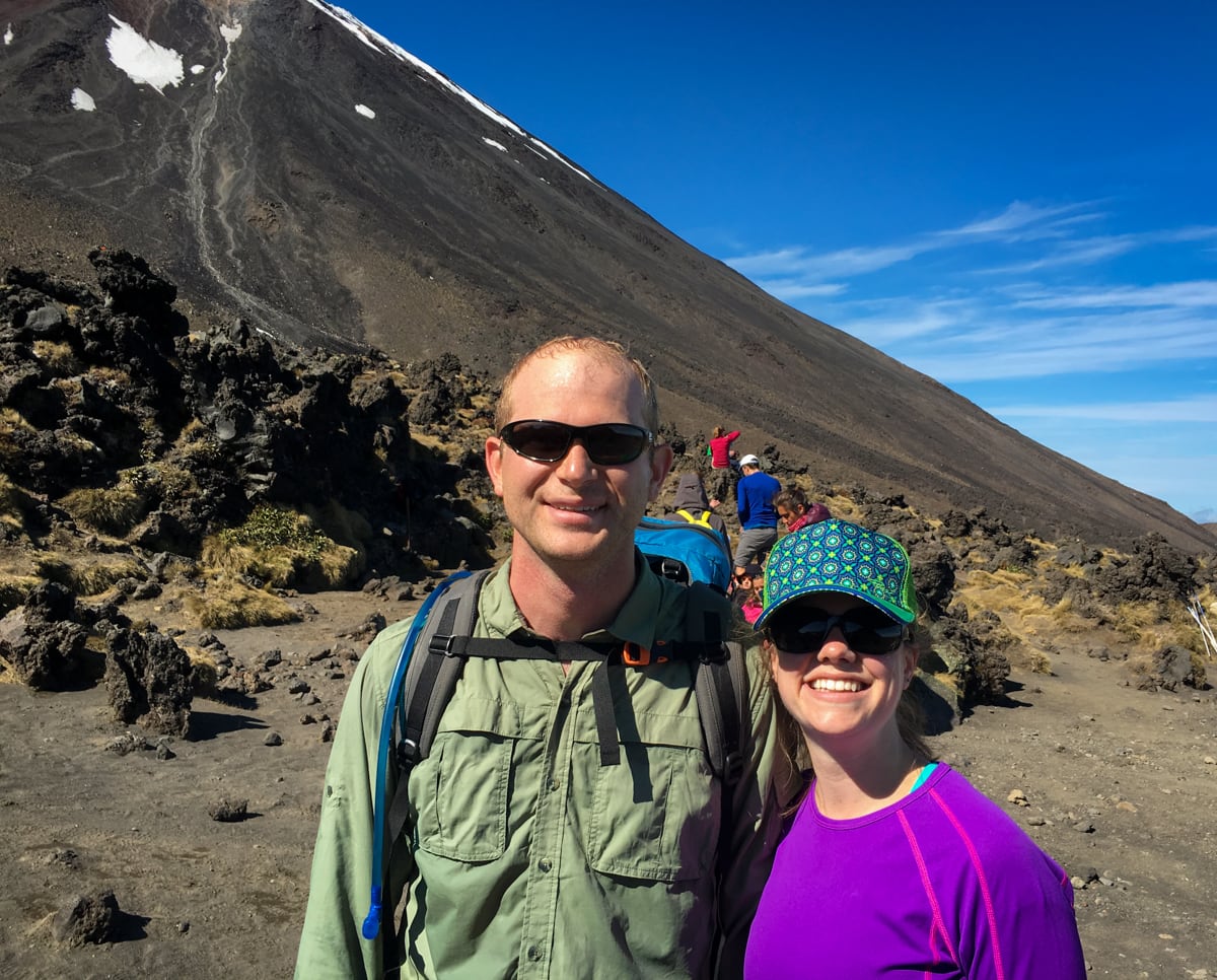
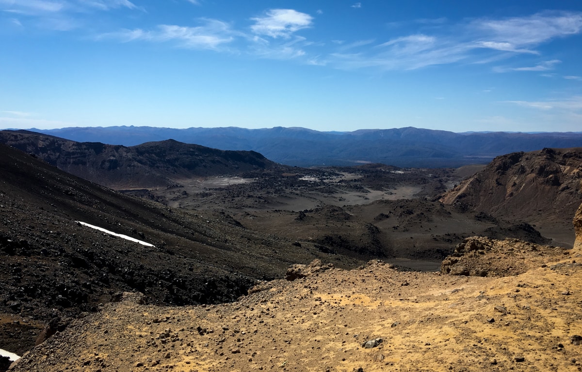
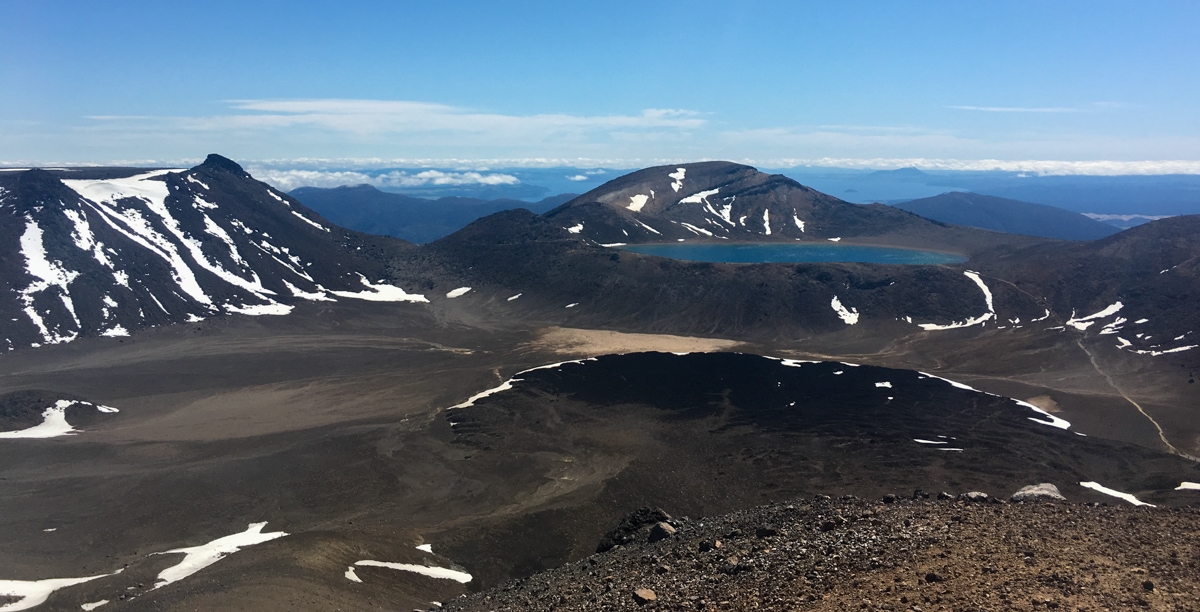
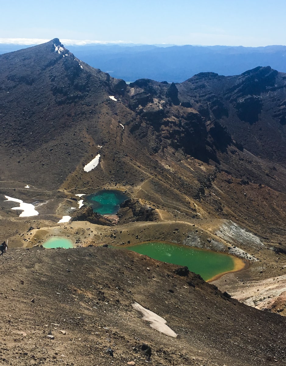
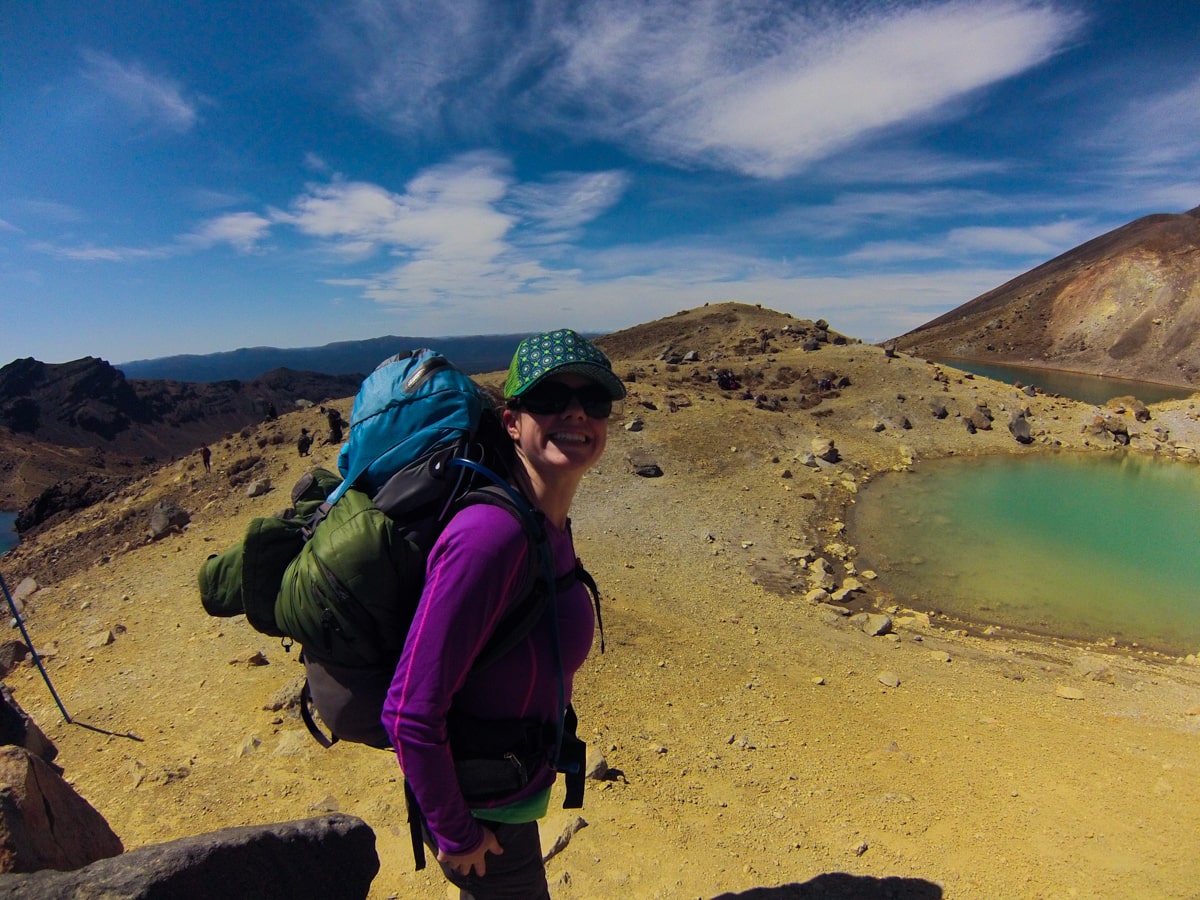
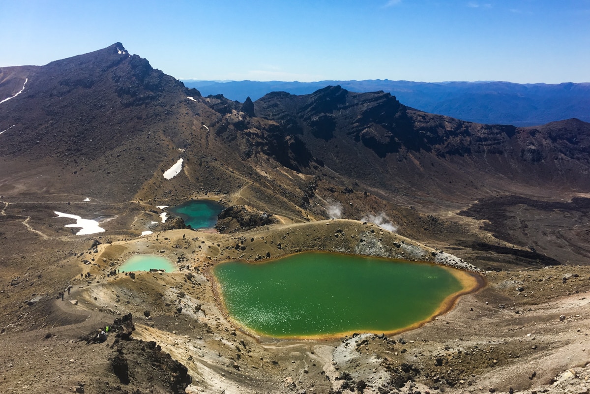
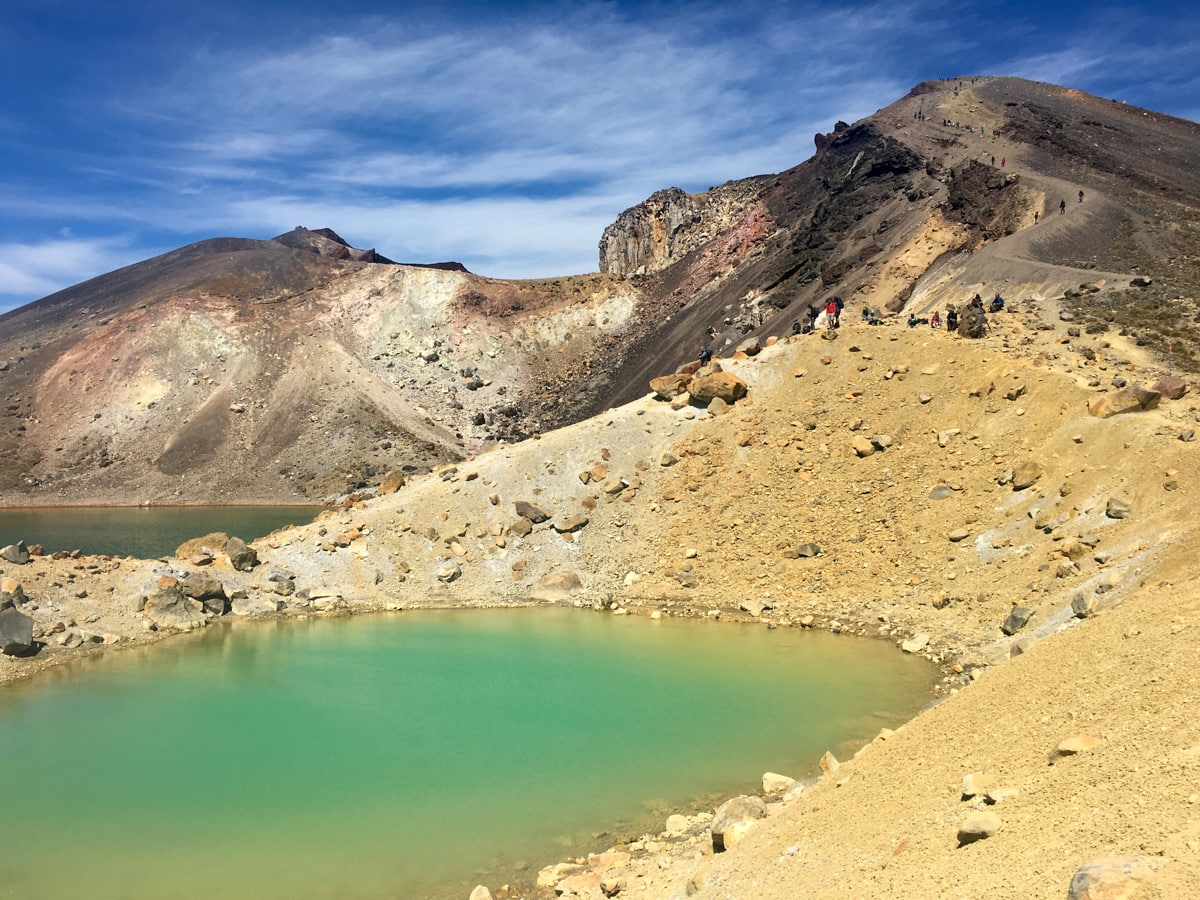
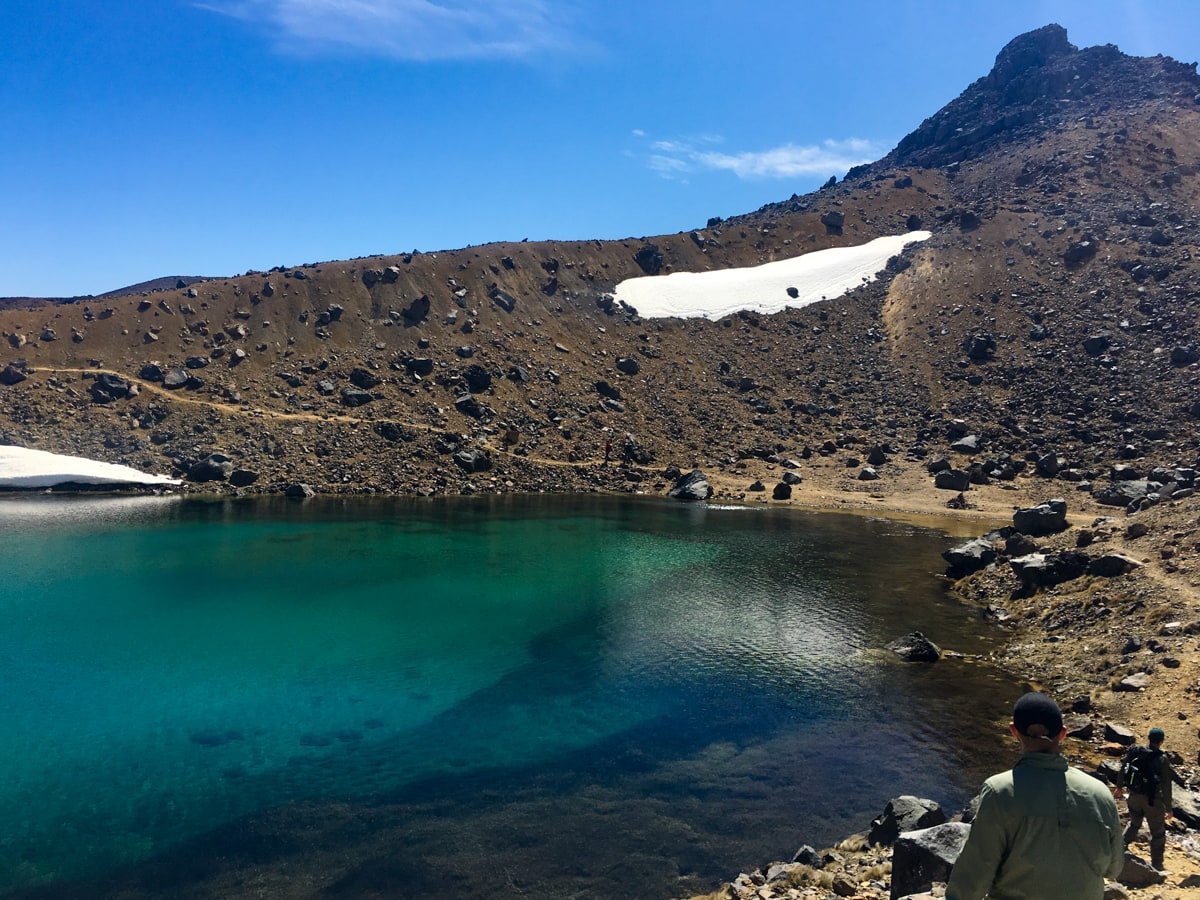
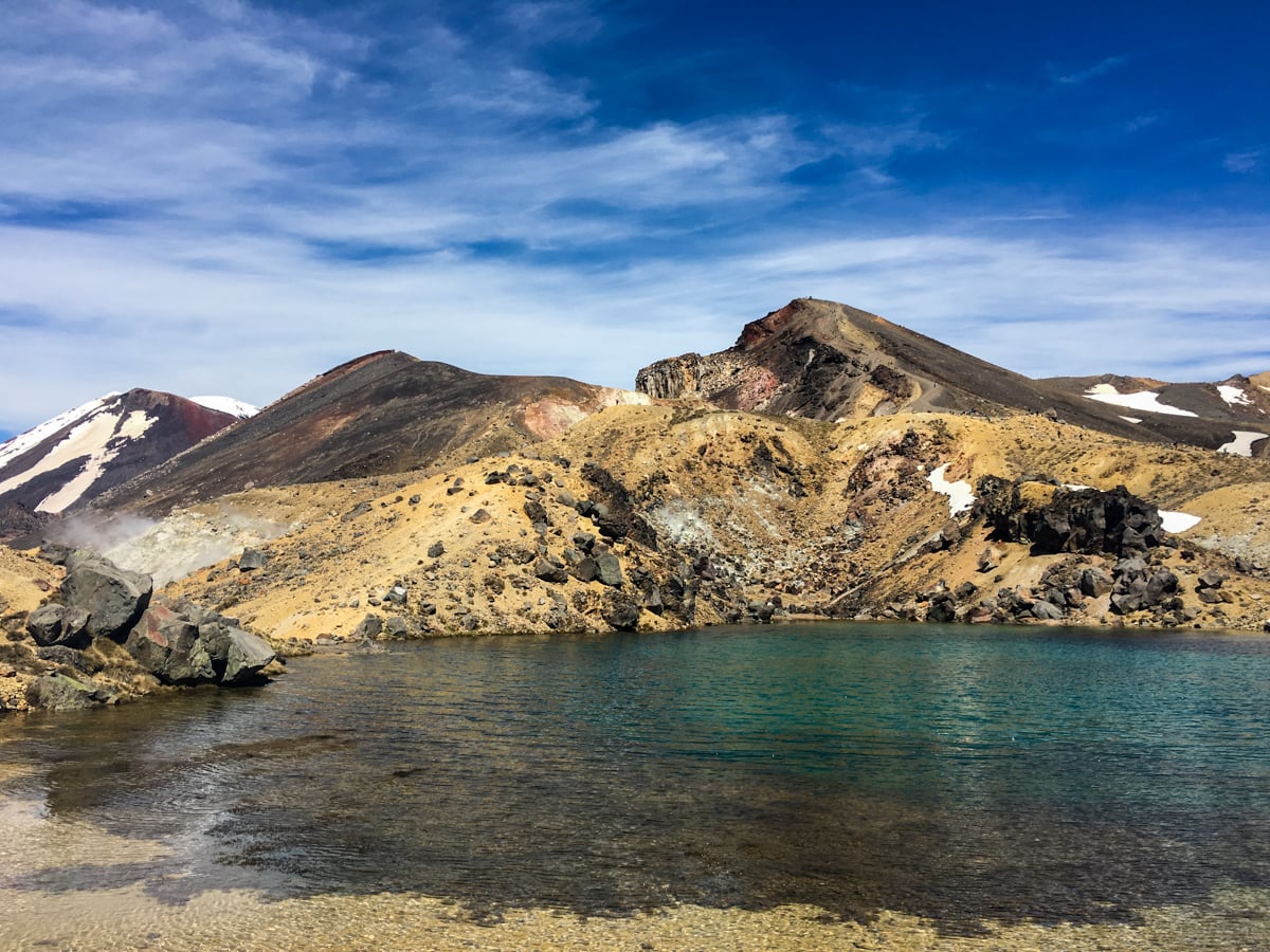
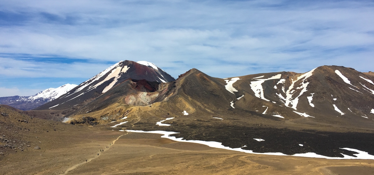
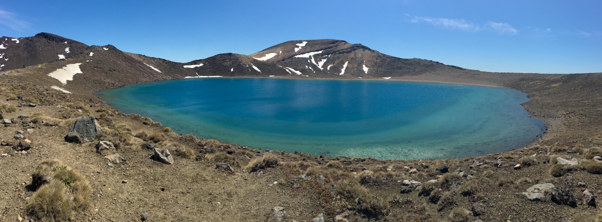
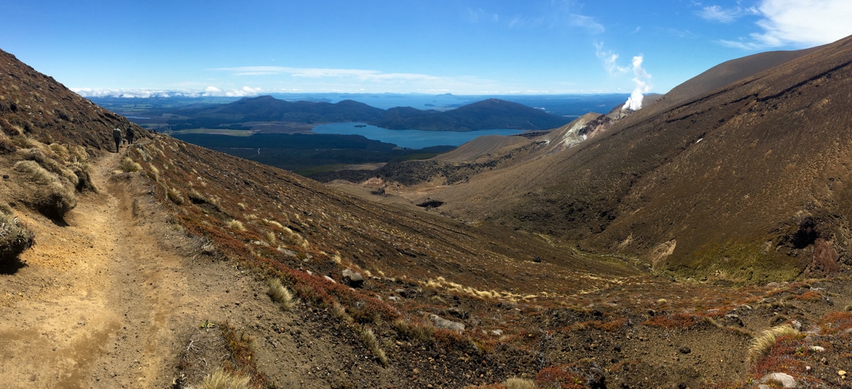
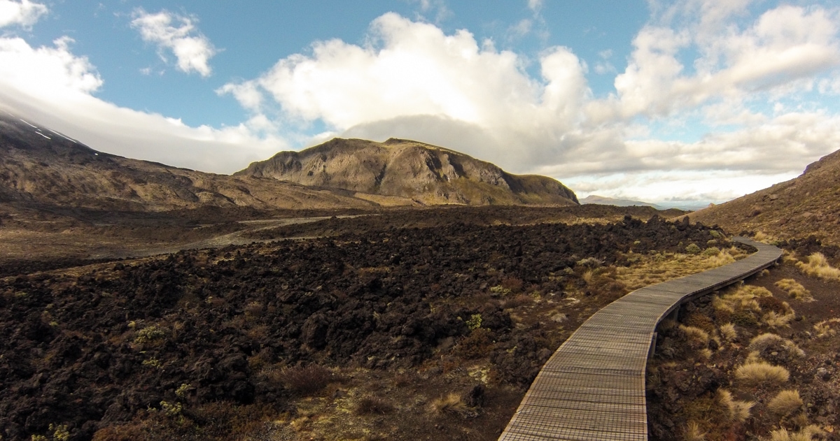
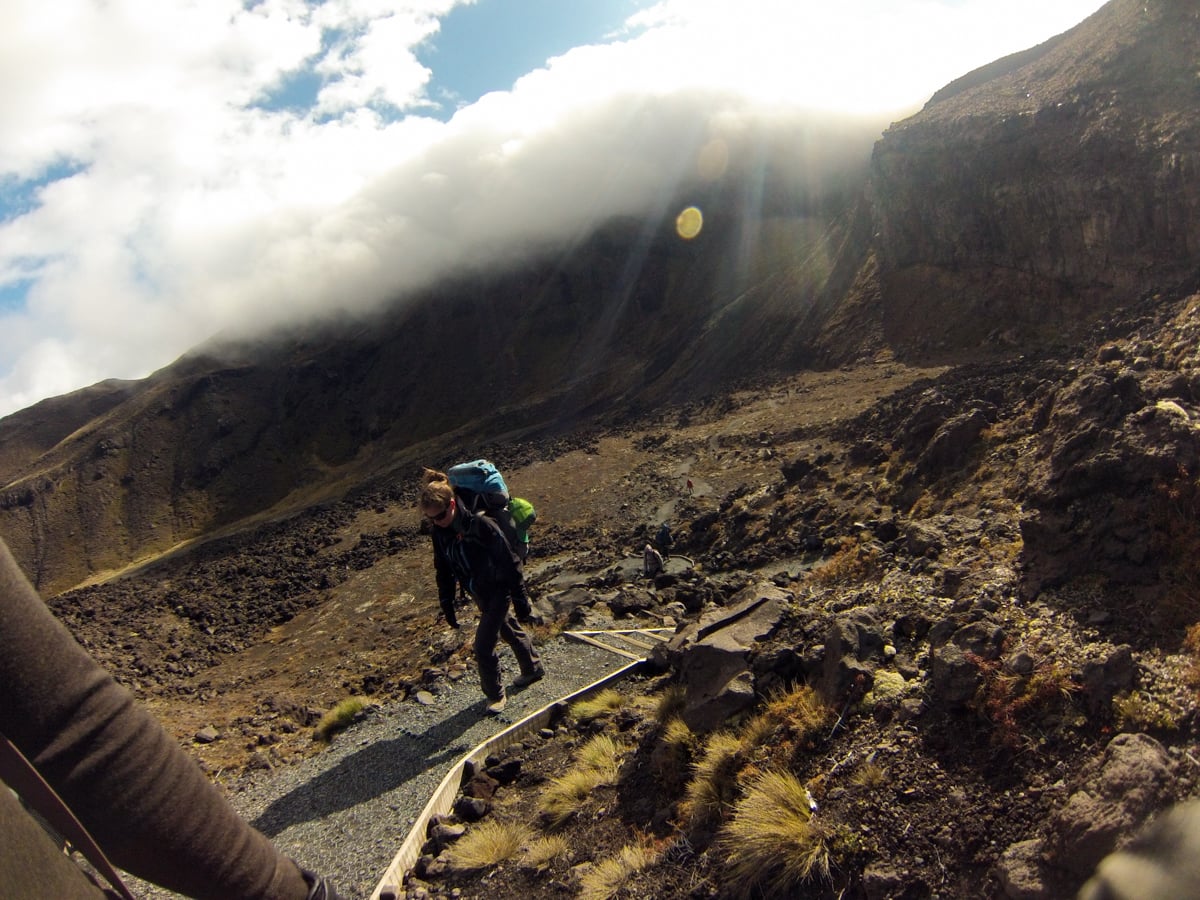
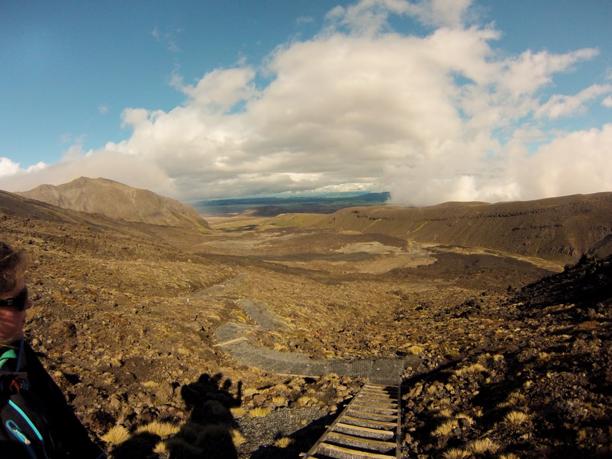
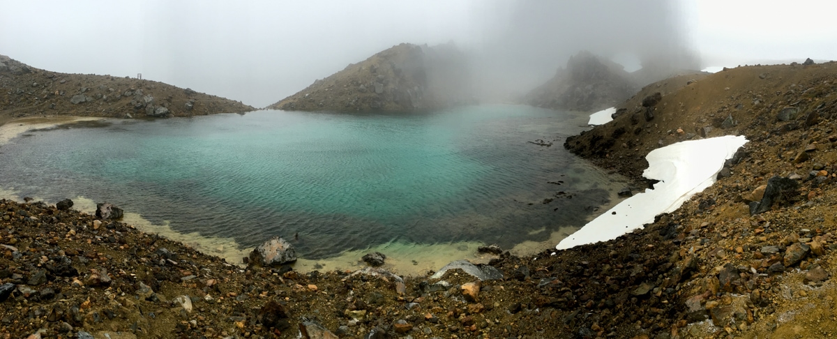
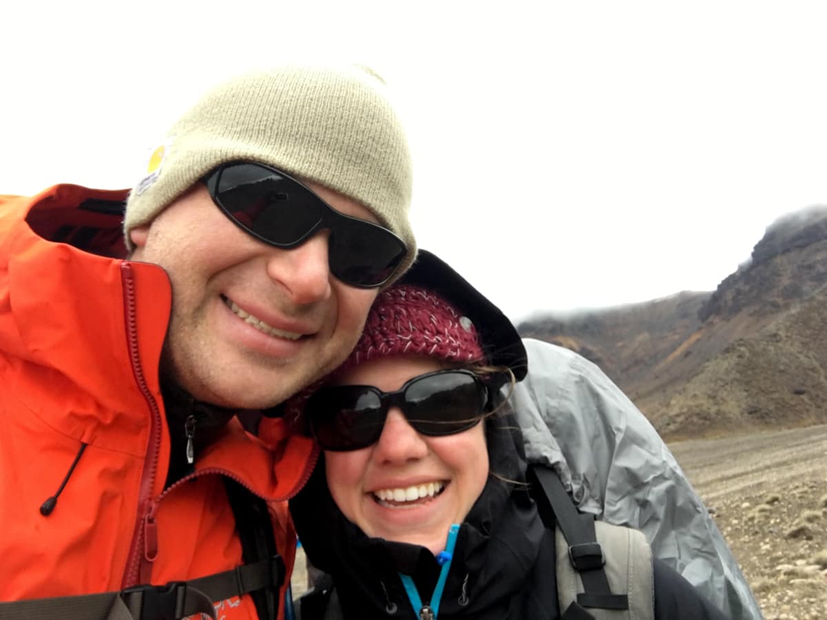
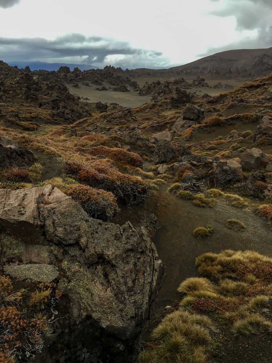
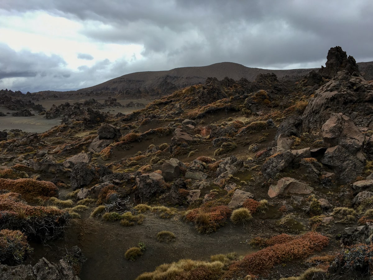
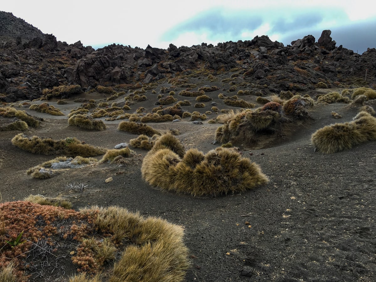
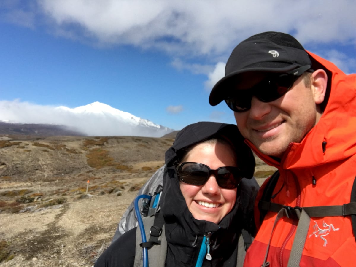
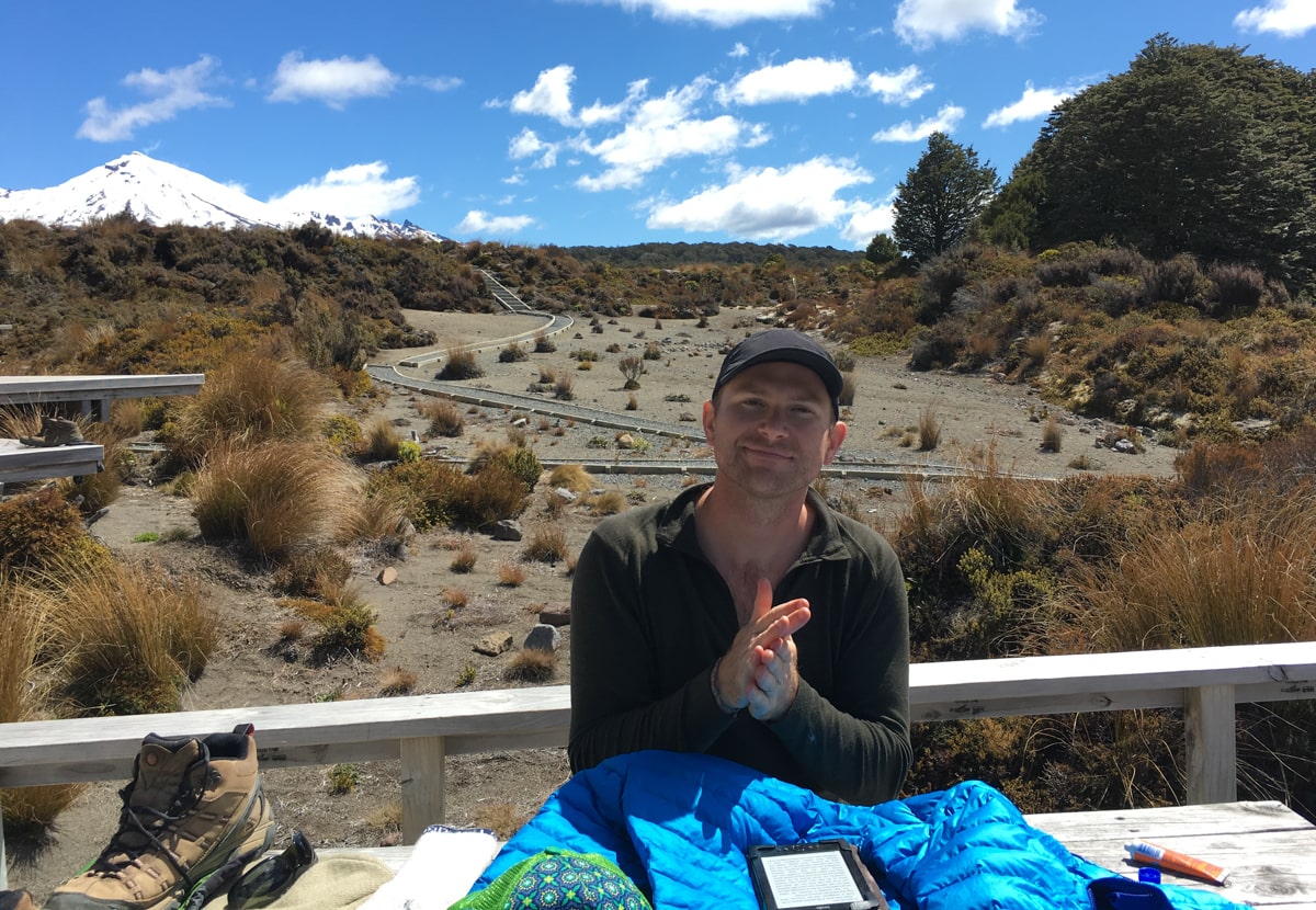
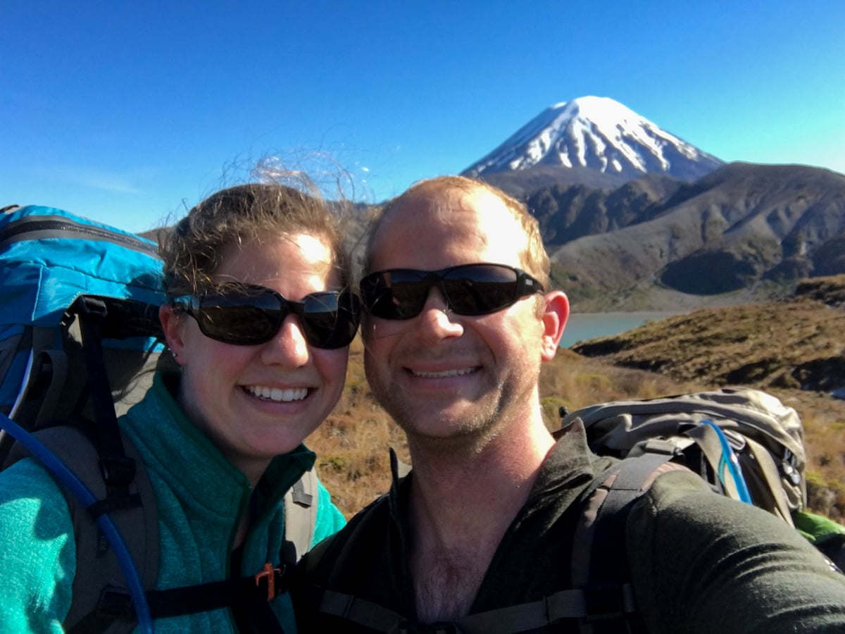
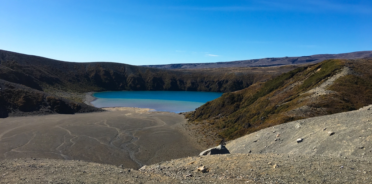
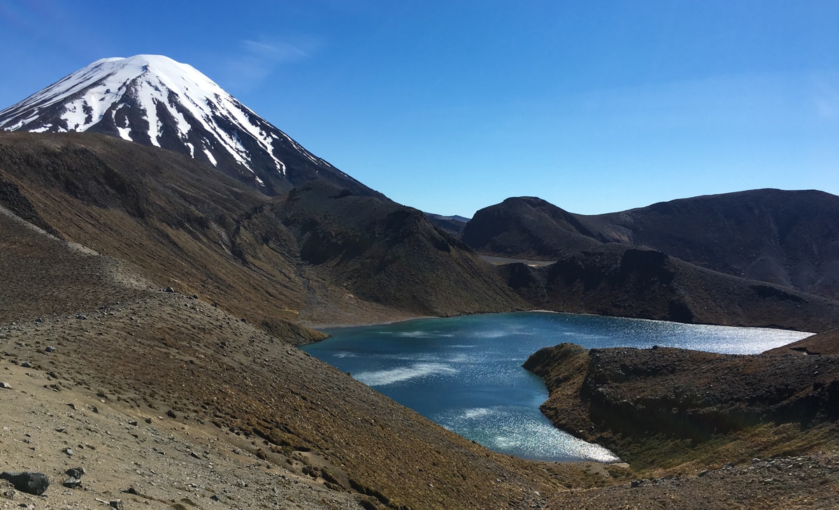
On Day 1, instead of doing the traditional Whakapapa Village to Mangatepopo Hut trail, we instead got a ride to Mangatepopo, dropped off the non-day-hike half of our gear there, and did the Alpine Crossing that day. The weather was beautiful, and we had tons of fun, getting great views of South Crater, Red Crater, the Emerald Lakes, Blue Lake and even out to Lake Taupo. We also happened to meet Dave, Dartmouth class of ’78, and hiked with him for much of the trail. He and his wife Jane ended up giving us a ride back from the trailhead we’d reached at the far side of the mountain to our hut (near our original departure point) where we’d be staying the night. Thanks Dave for the great conversation!
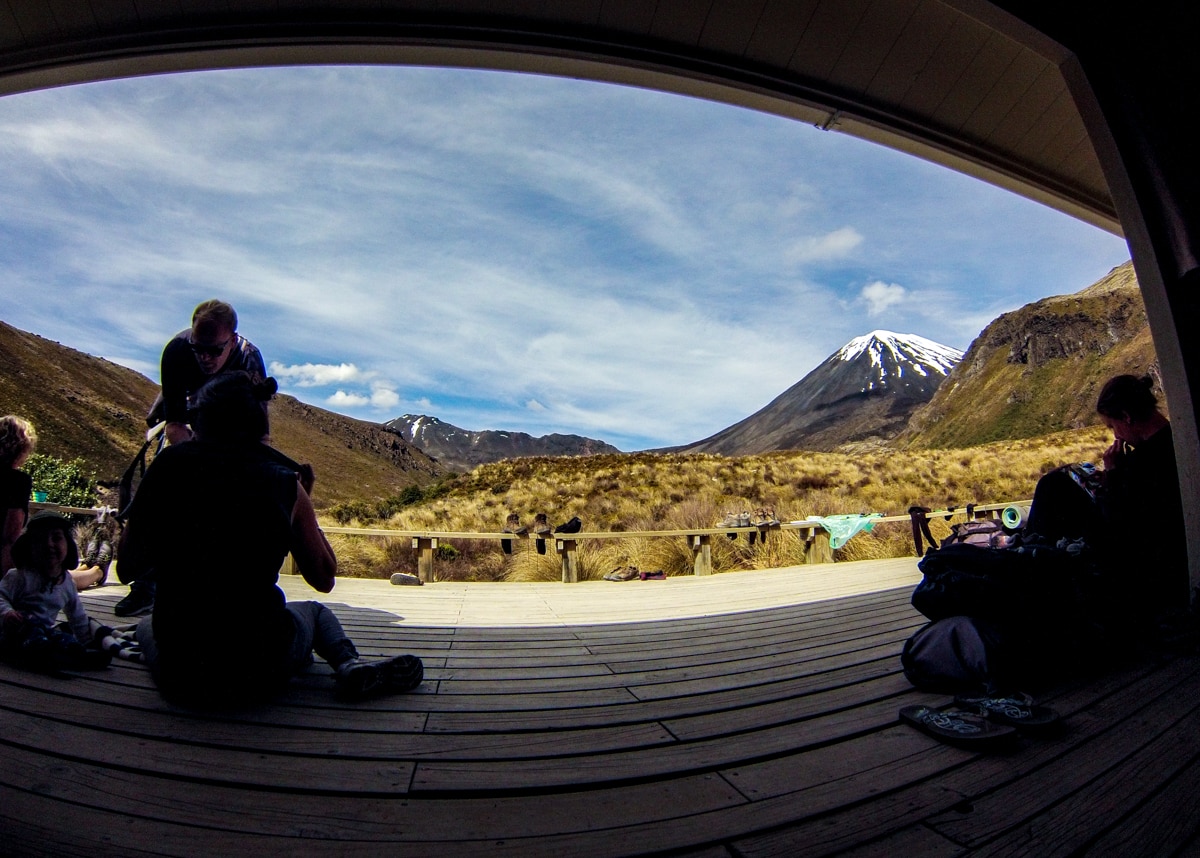
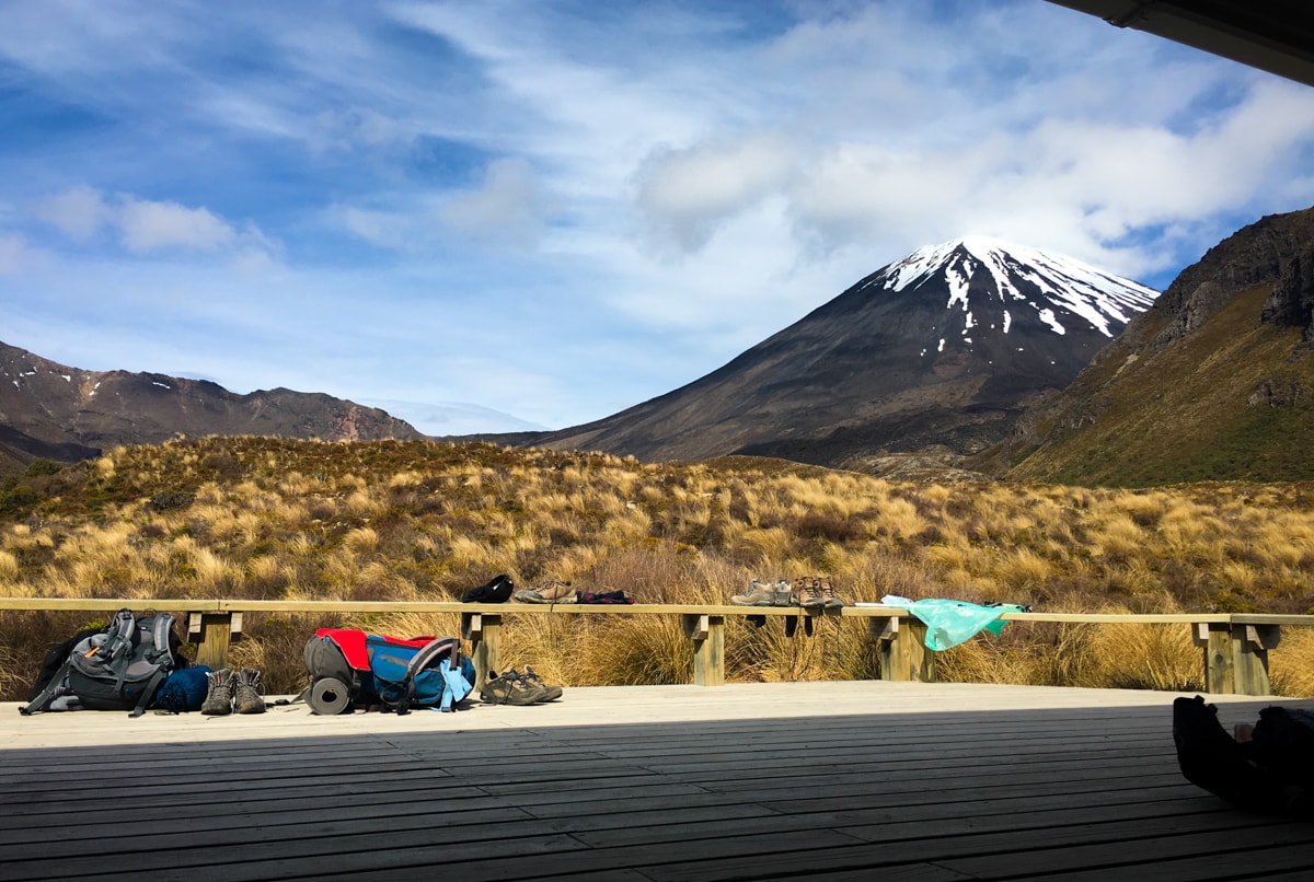
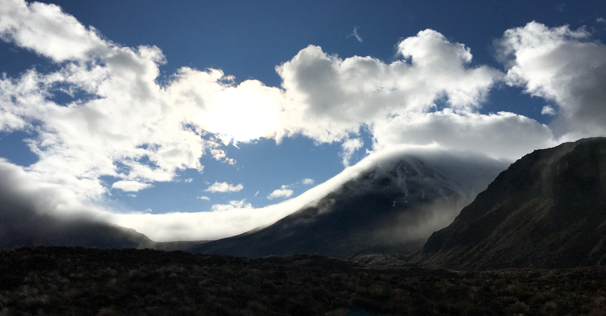
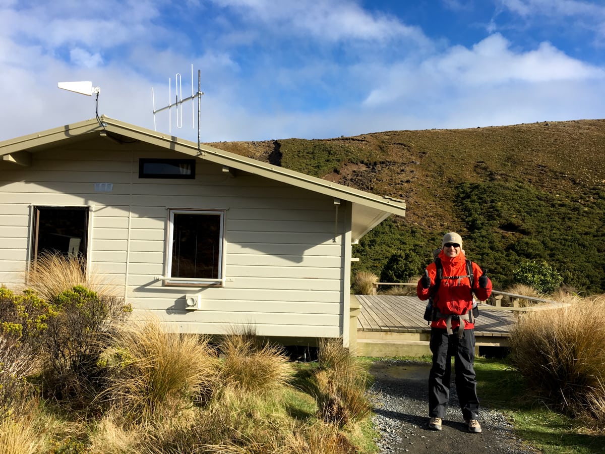
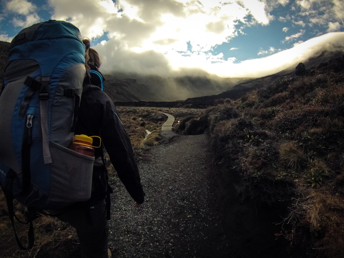
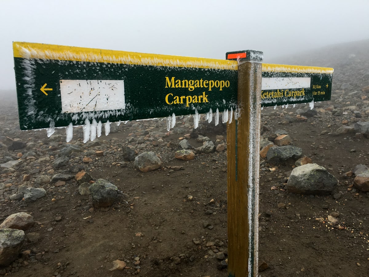
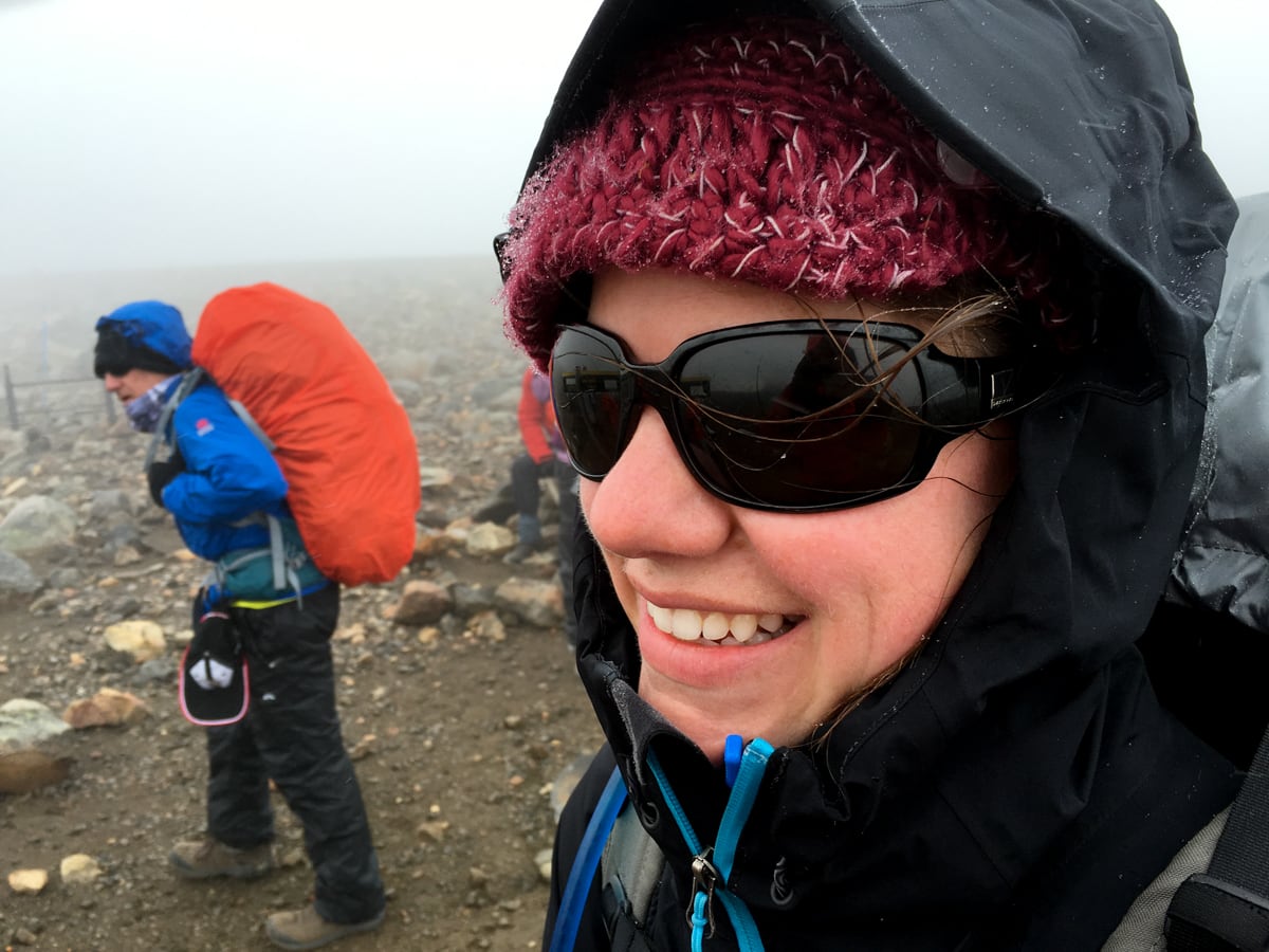
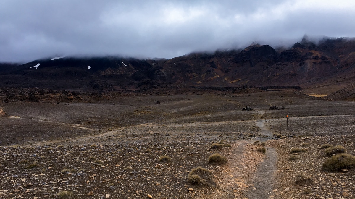
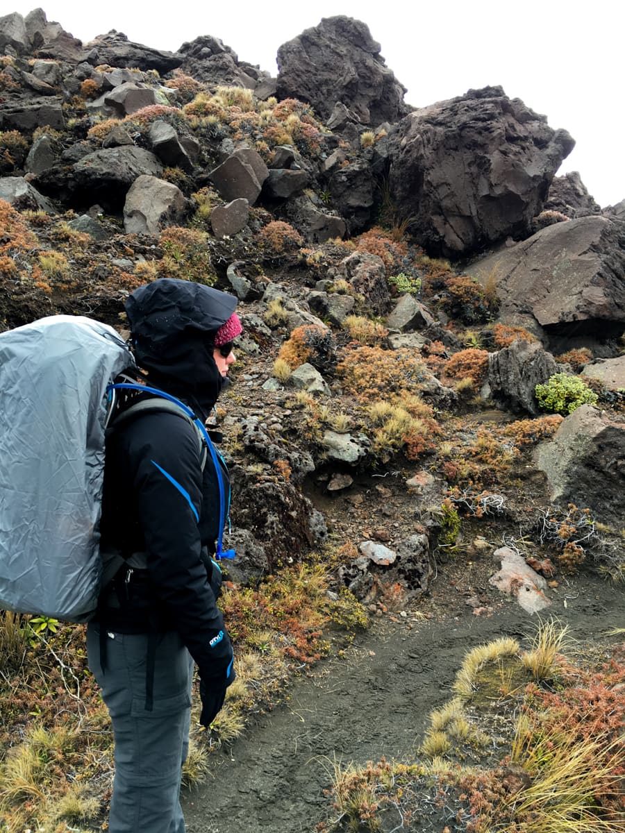
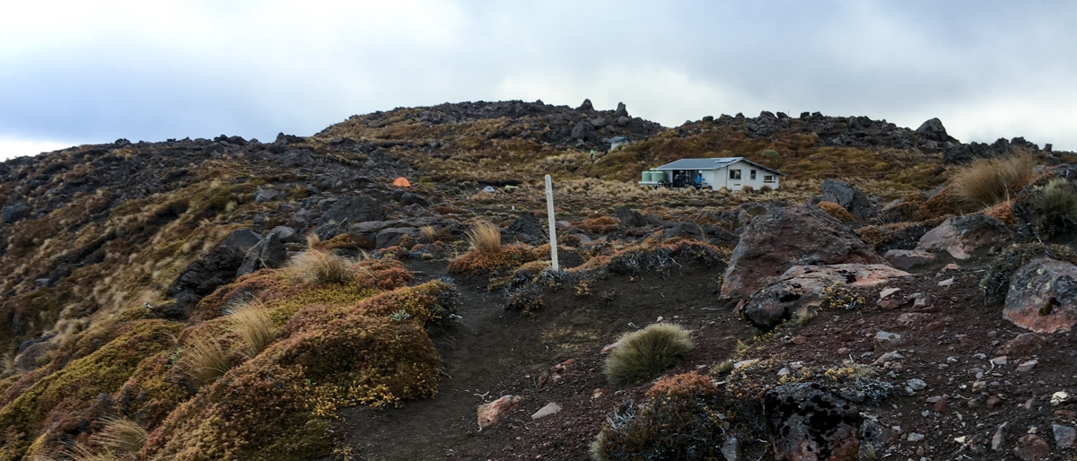
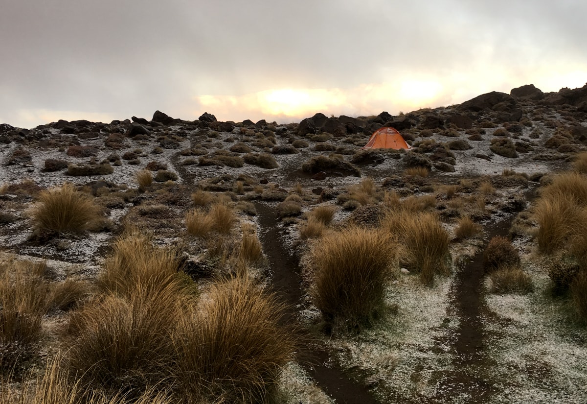
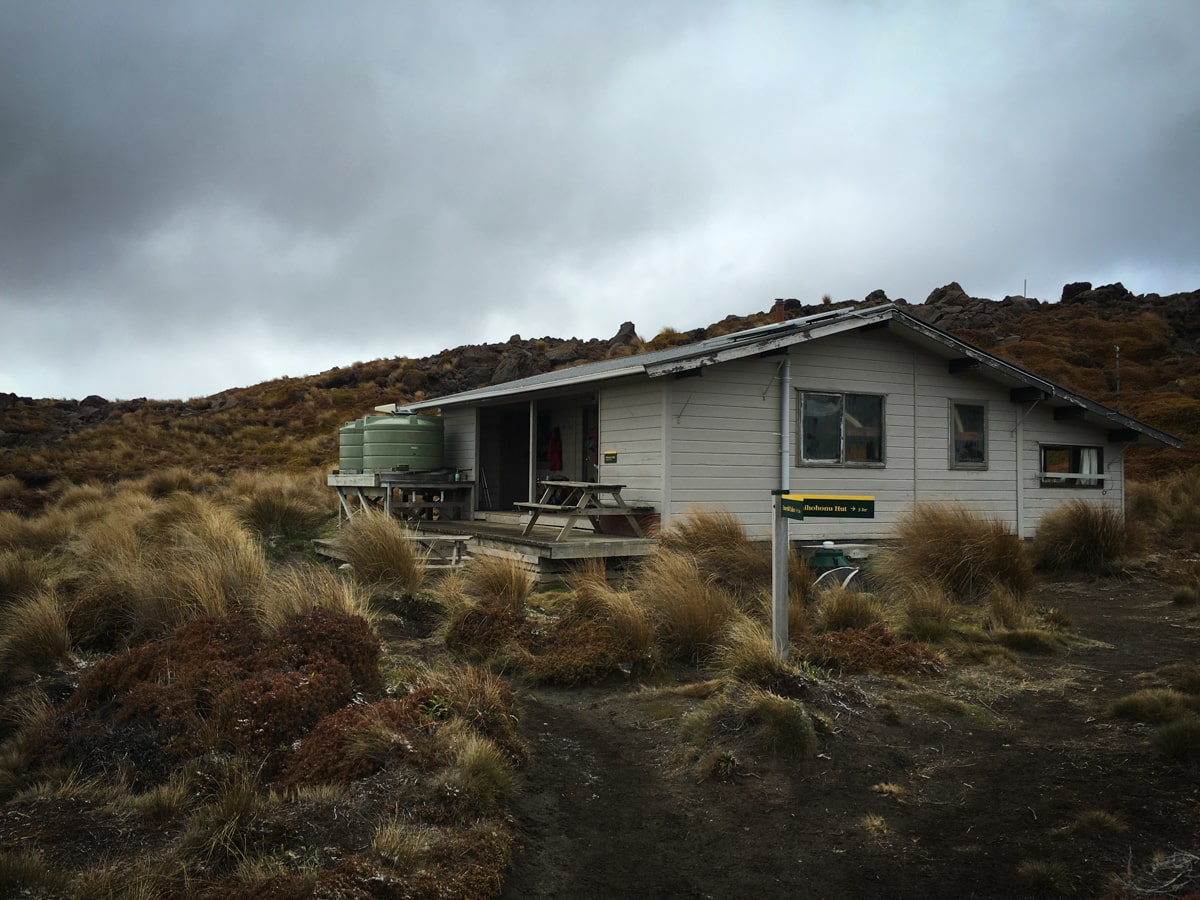
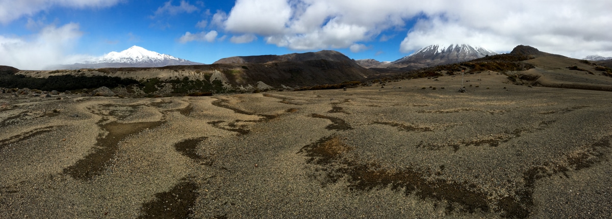
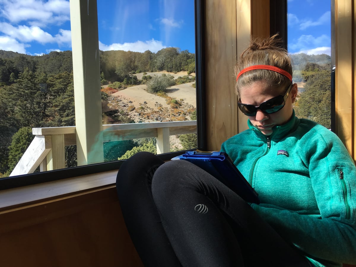
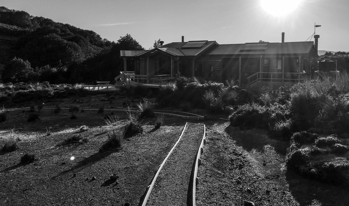
On Day 2, we mostly repeated the Alpine Crossing route. But instead of blue sky, we had low hanging clouds, freezing wind, some slick surfaces, and whipping snow. Experiencing the two starkly different trail conditions actually ended up being a bit of a treat – as was knowing where the cloudy trail was taking us, from having hiked it the day before. Another highlight was the ‘dragon tail descent’ off the geothermal plateau, down a shoulder of rock that often was really red colored. Picking our way around and down through volcanic leftovers was pretty cool. We arrived at our second hut, Oturere, in early afternoon, with plenty of time to drink tea and read. The Hut Warden at Oturere, Bruce, was also a lot of fun to chat with, providing lively and informative commentary.
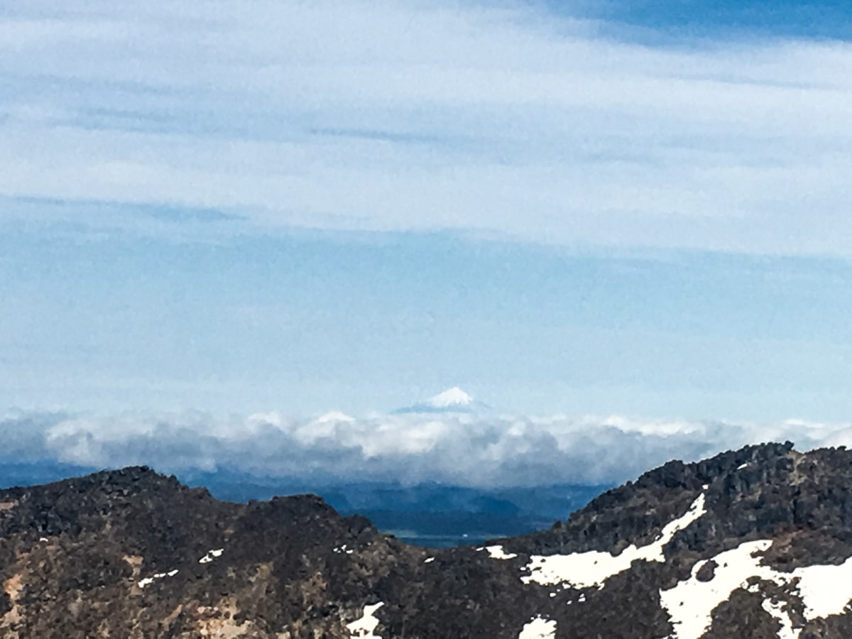
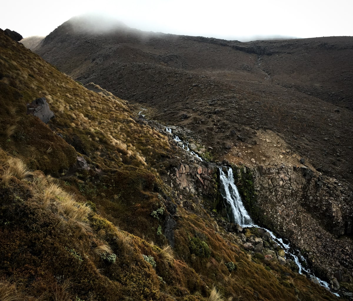
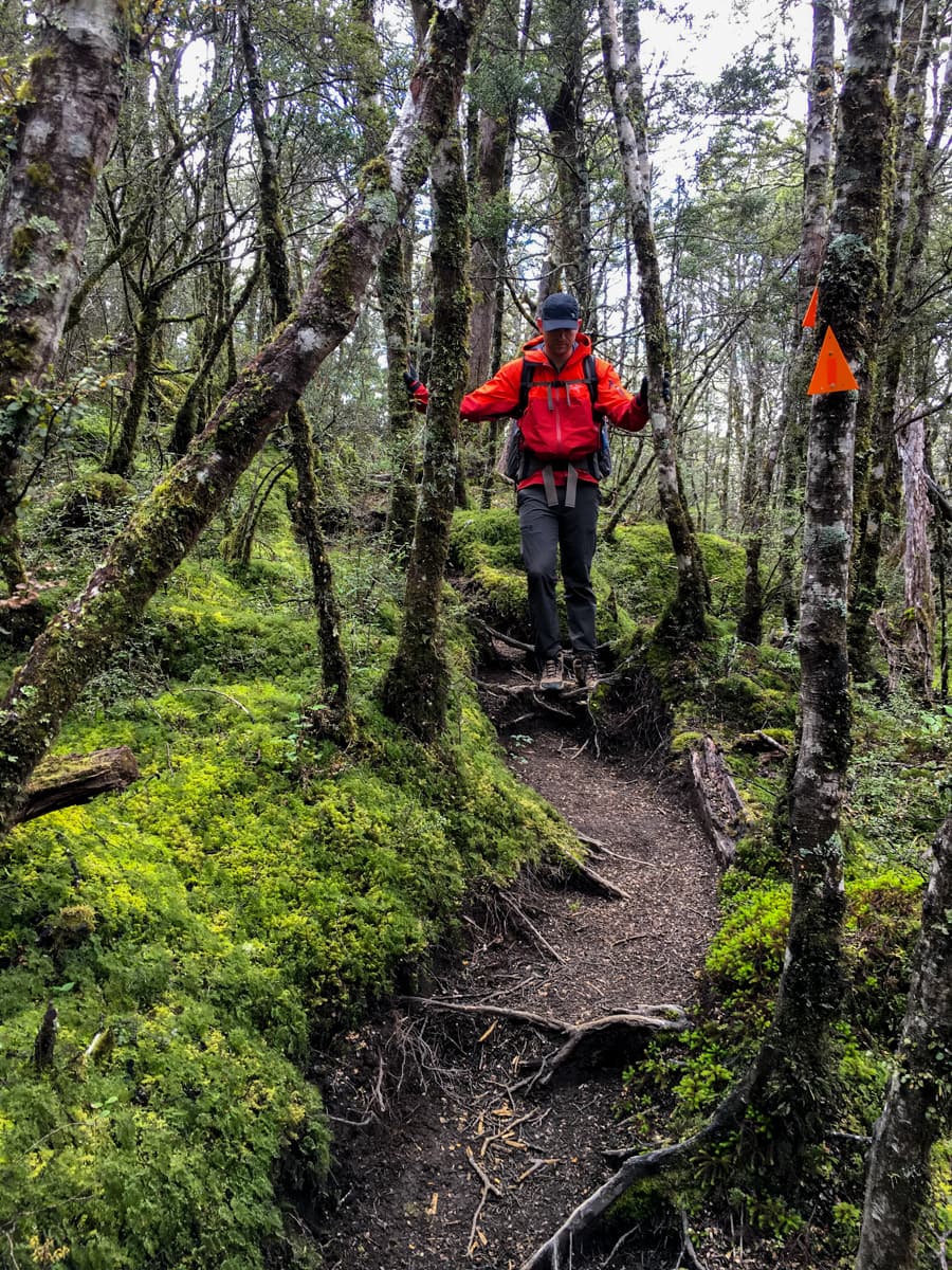
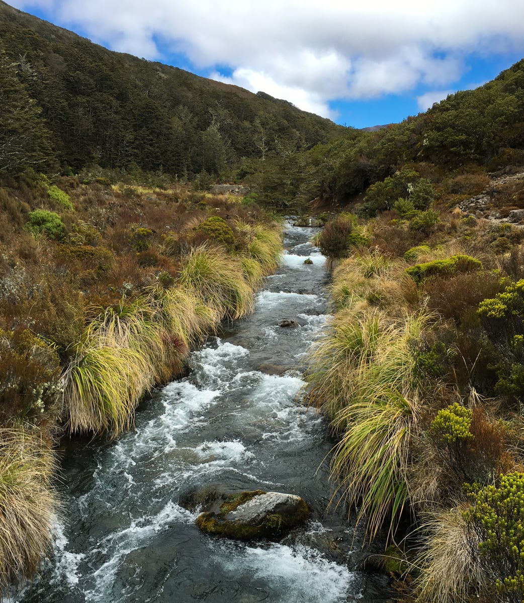
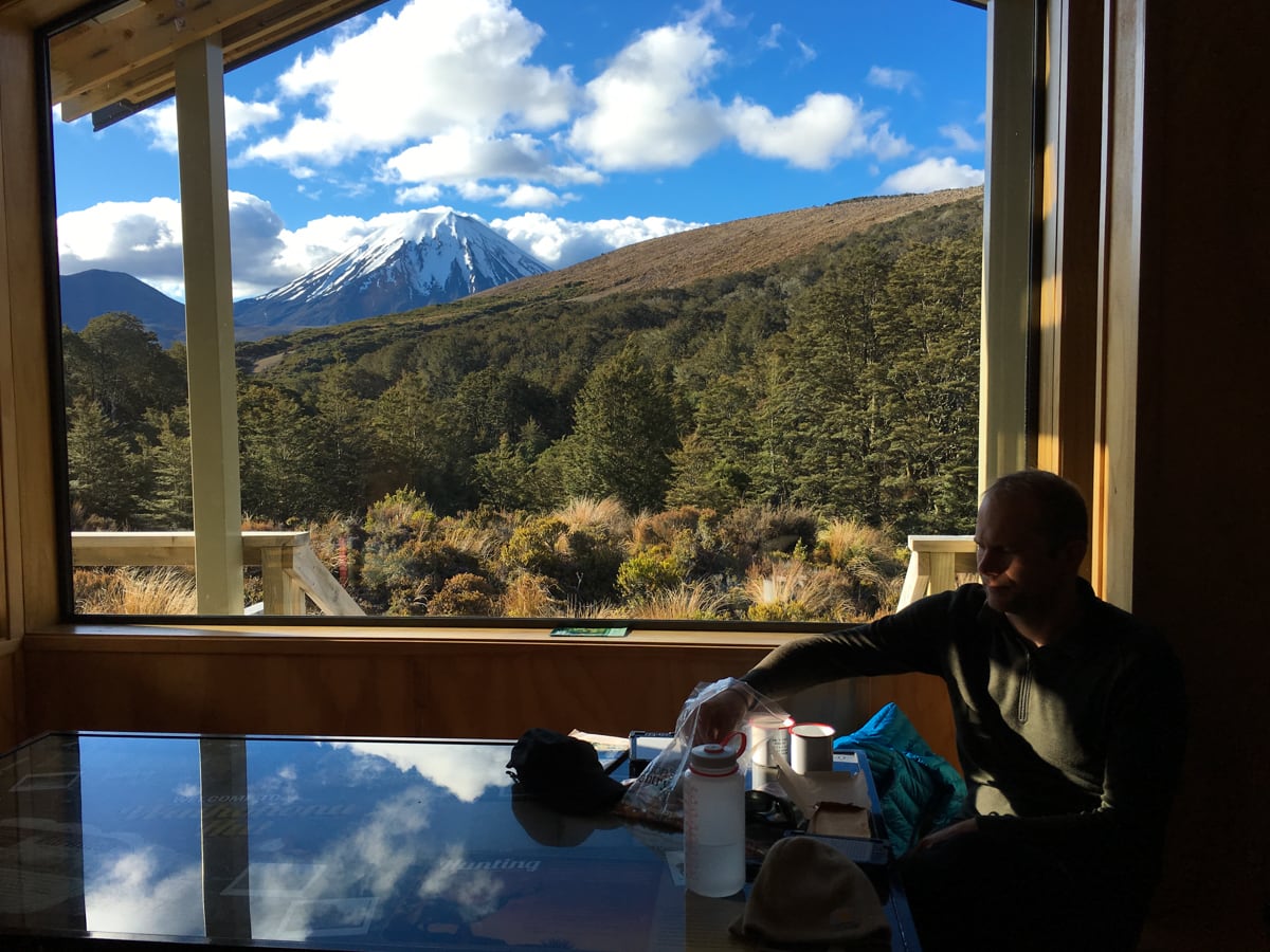
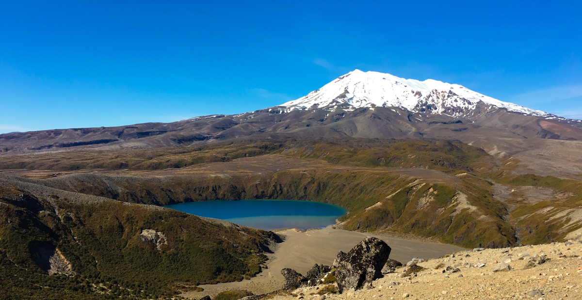
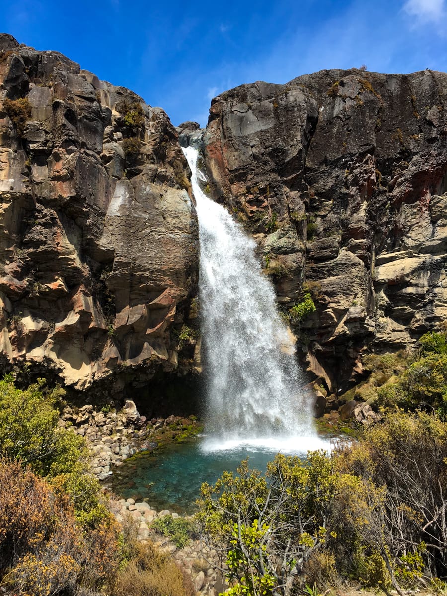
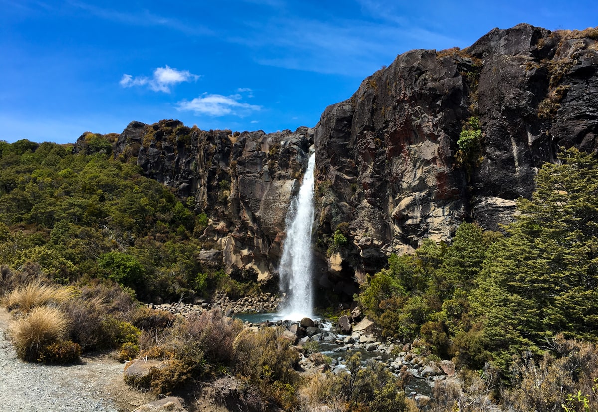
On Day 3, we hiked from Oturere to Waihohonu huts – at this point, we’d made it to the opposite side of Mt Ngauruhoe from the one we started on. Day 4 delivered great views of both Mt. Ngauruhoe and Mt. Ruapehu, as well as beautiful views of Upper and Lower Tama Lakes as the result of a 5k side trip. We wrapped up the journey via an alternate ending that took us by Taranaki Falls just before arriving at Whakapapa Village. 64km overall!
And now (as of Nov 23), we have video too! (Check below the photos!)
https://youtu.be/nPgB9WxxWKU&rel=0&controls=0&showinfo=0
What was tapu about this? Some of the lands have been transferred back to one of the iwi, yeah?
Also: Max tells me I should say this is pretty. Which it is. But your tags distracted me.
The tops of the volcanoes are considered tapu – there aren’t any firm rules saying you can’t summit, but the Maori would never go to the actual summit.
Ahhh I understand. Cool. Thanks!
We heard someone suggest that you could hike it, but maybe just stop a few feet from the top so you’re not actually on the top.
These photos are awesome! It looks like you’re having so much fun. Where’d Elisse get that cool hat?
Isn’t it fun? I got it at REI