Tour de Westland
NZ’s West Coast region is tall and narrow, stretching from the coast west of Nelson two-thirds of the way down the country to the start of Fjordland National Park. We drove almost the whole thing, plus took a number of scenic detours along the way. Some highlights (with photos in line!) –
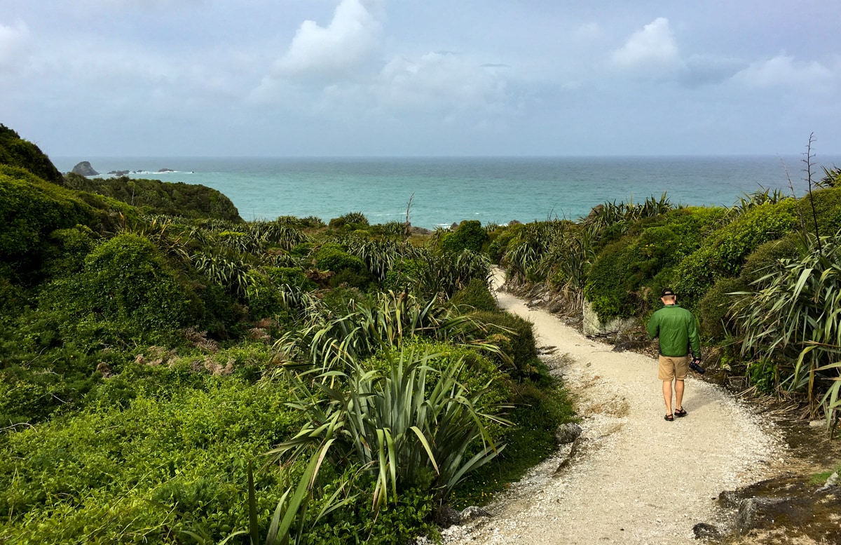
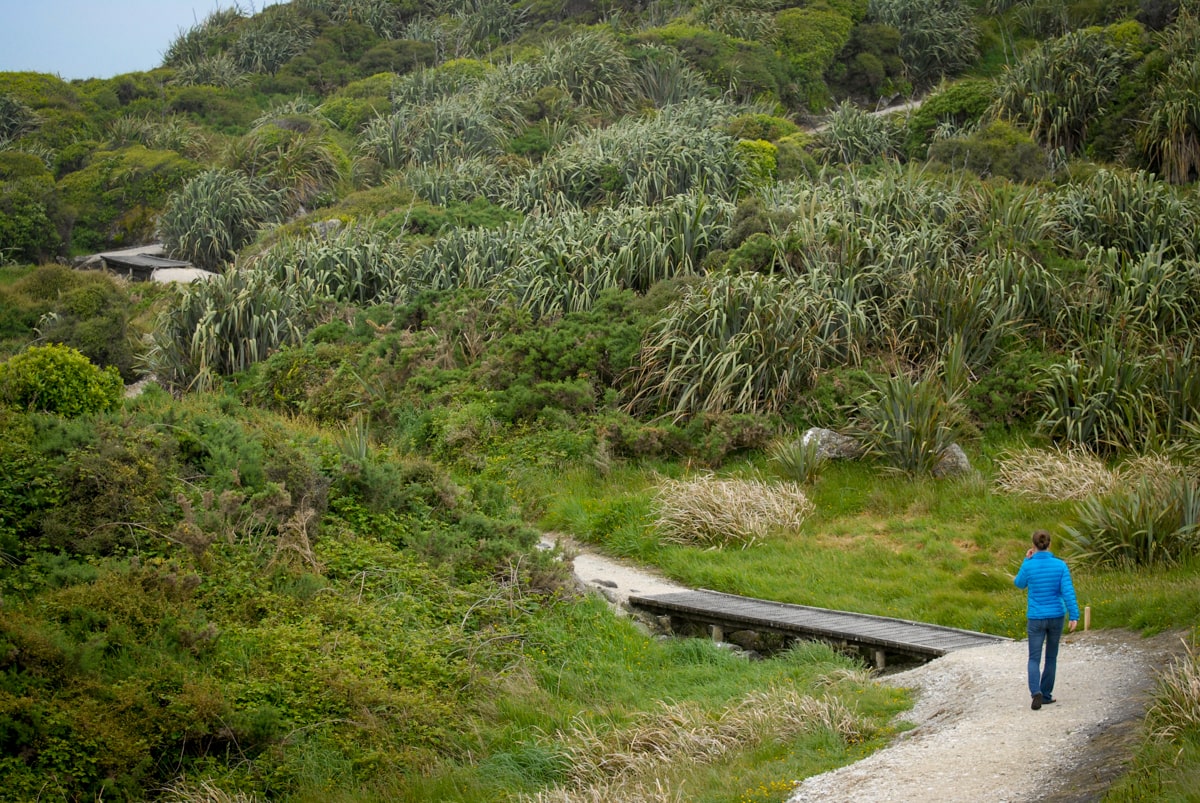
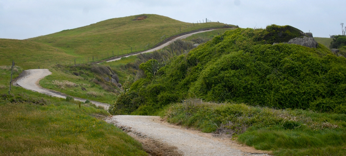
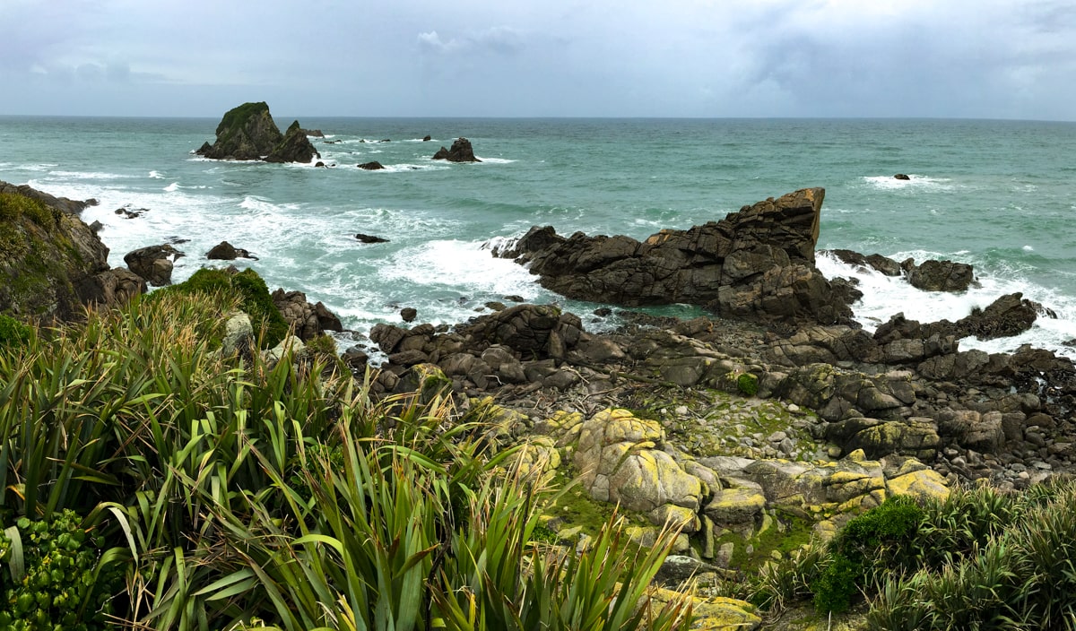
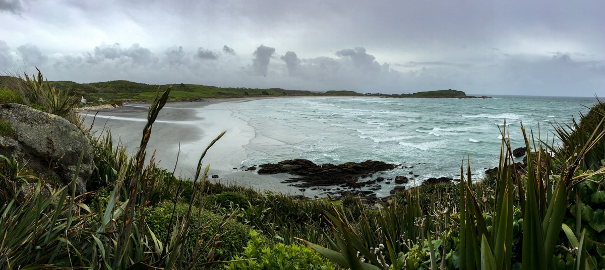
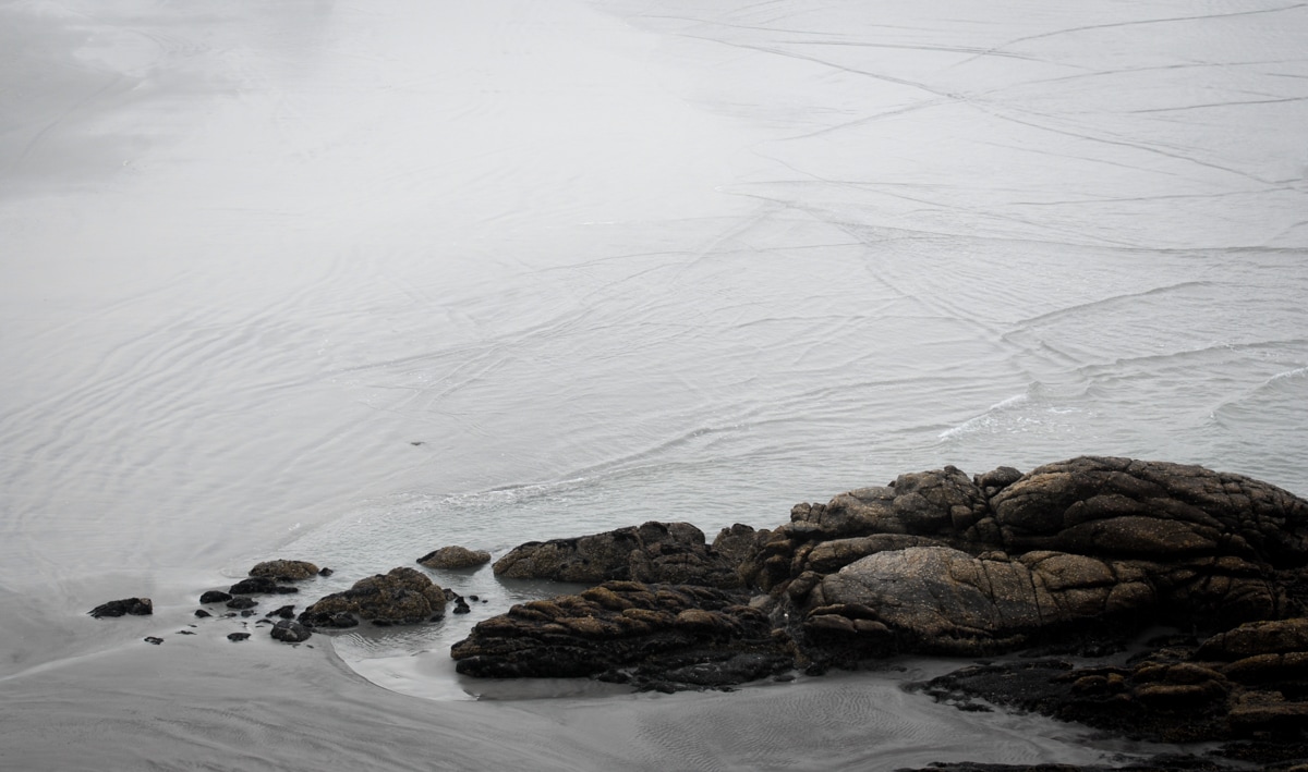
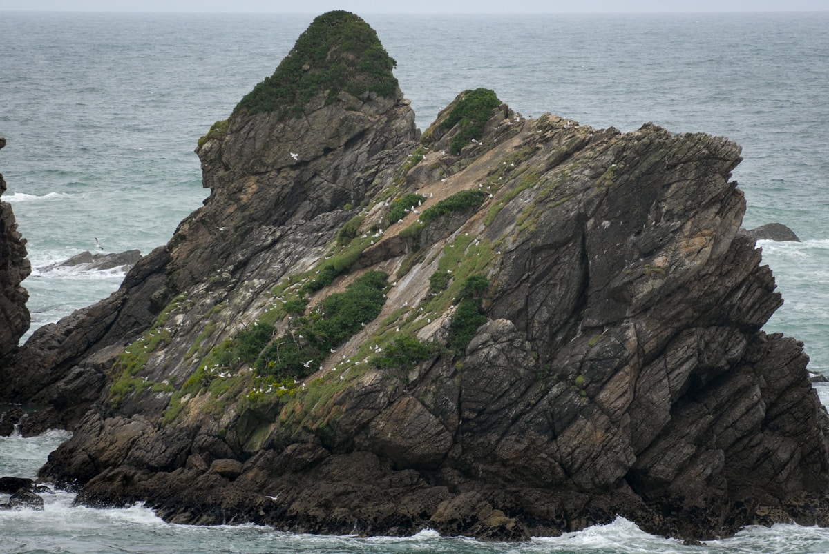
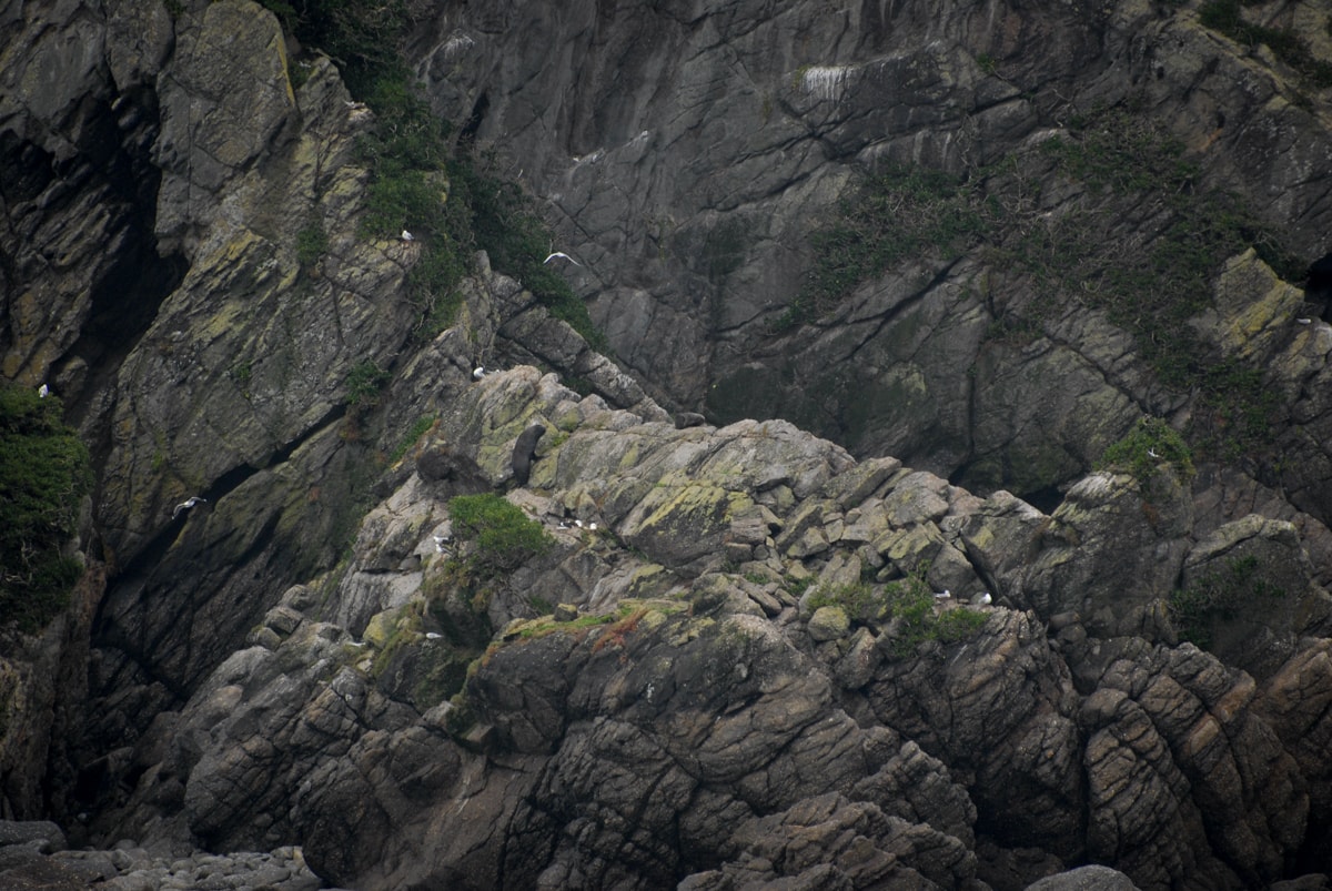
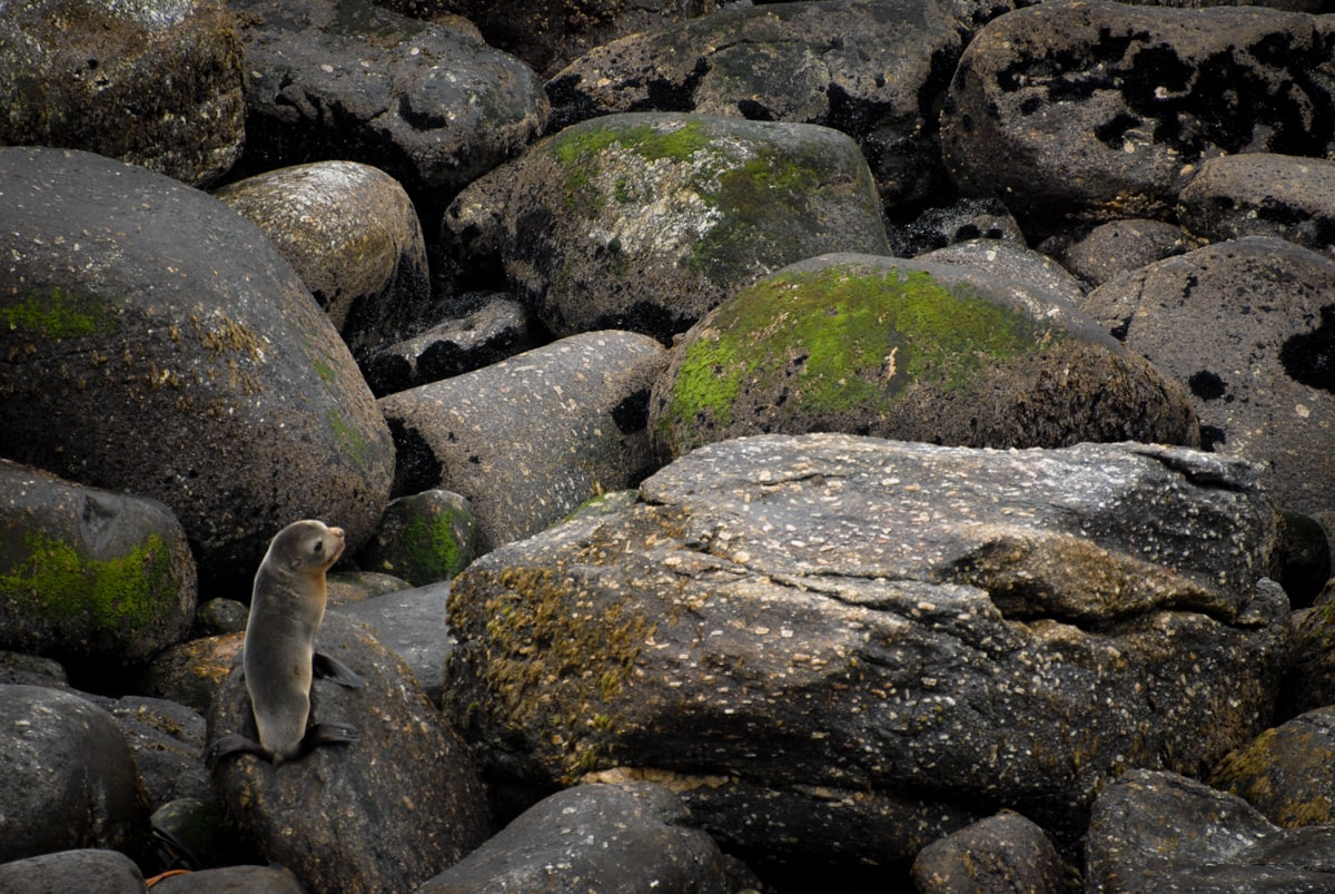
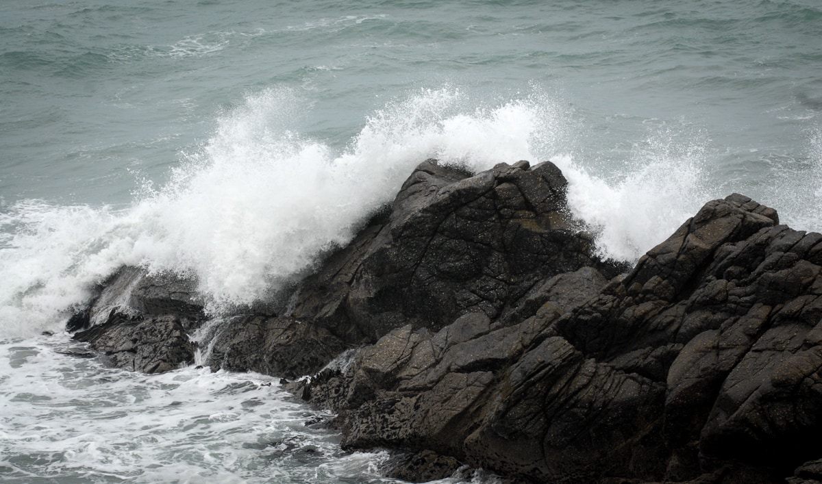
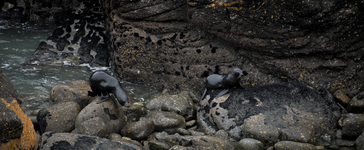
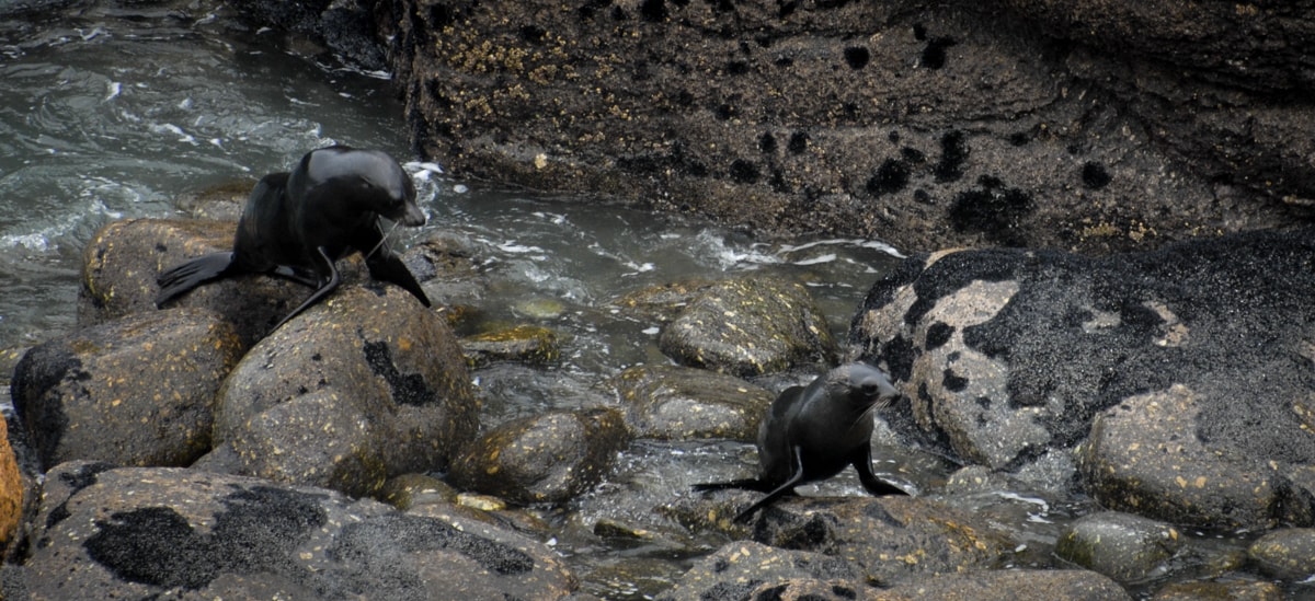
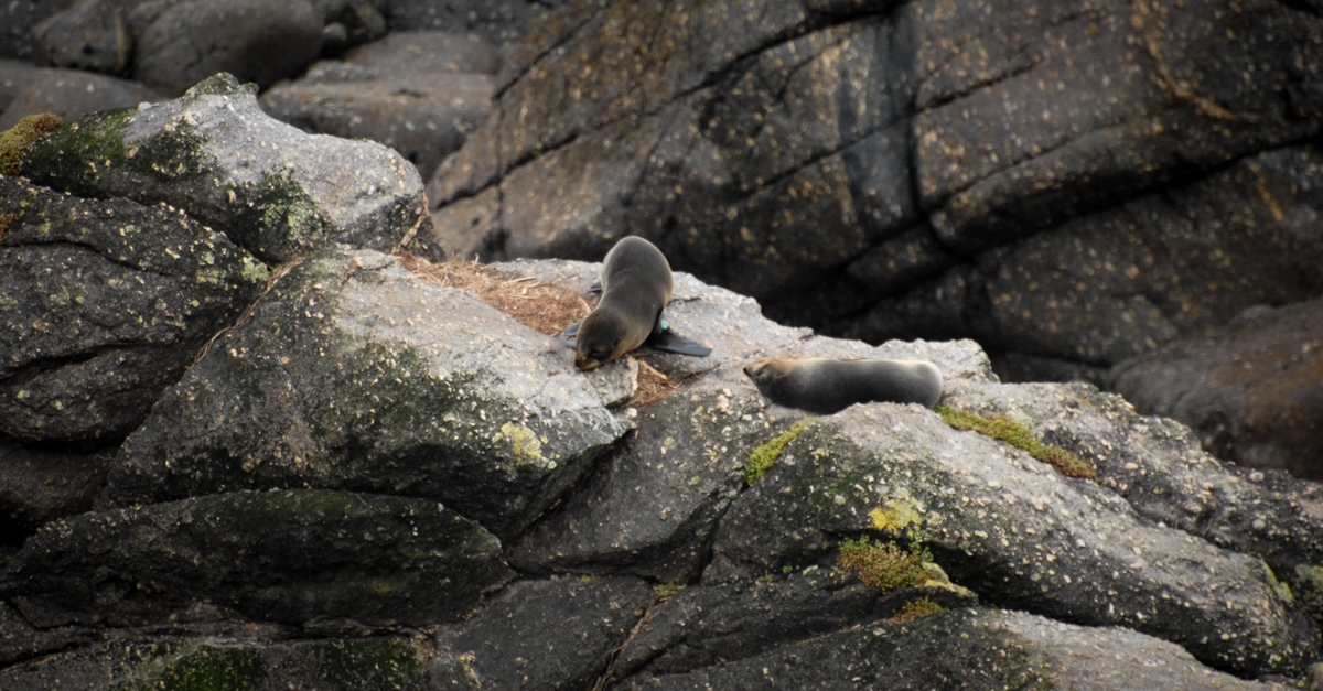
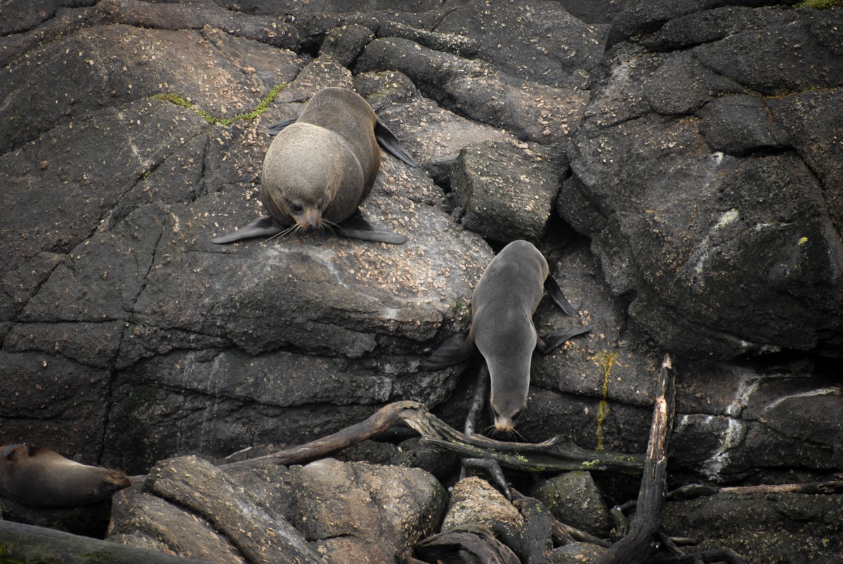
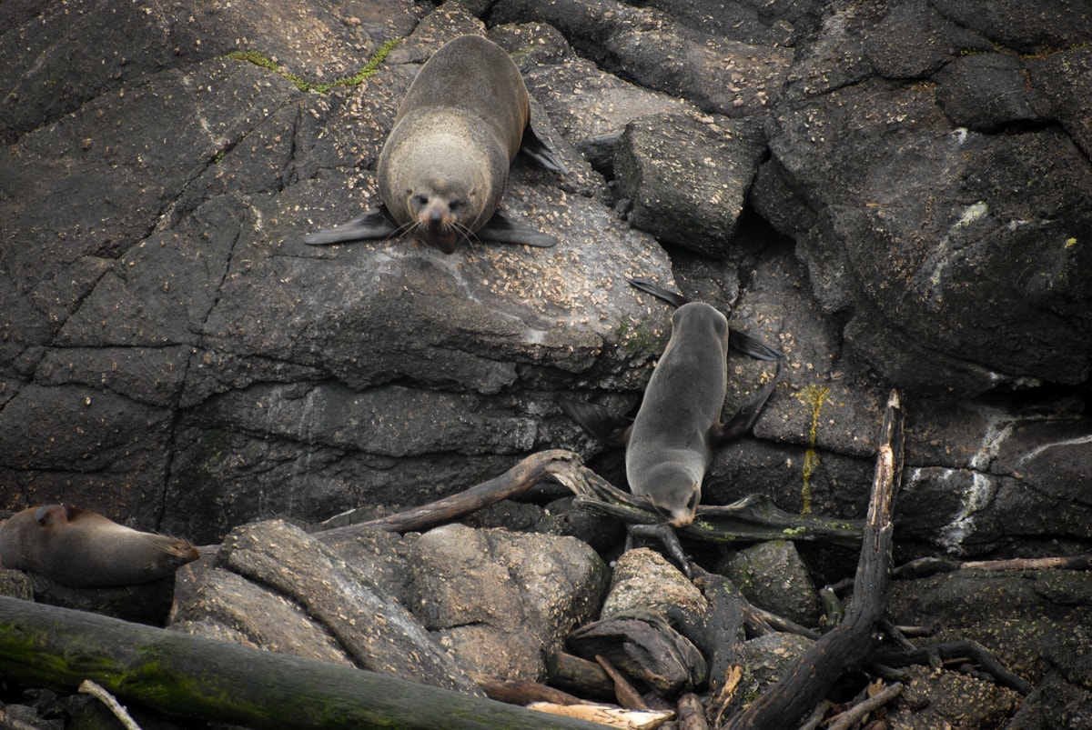
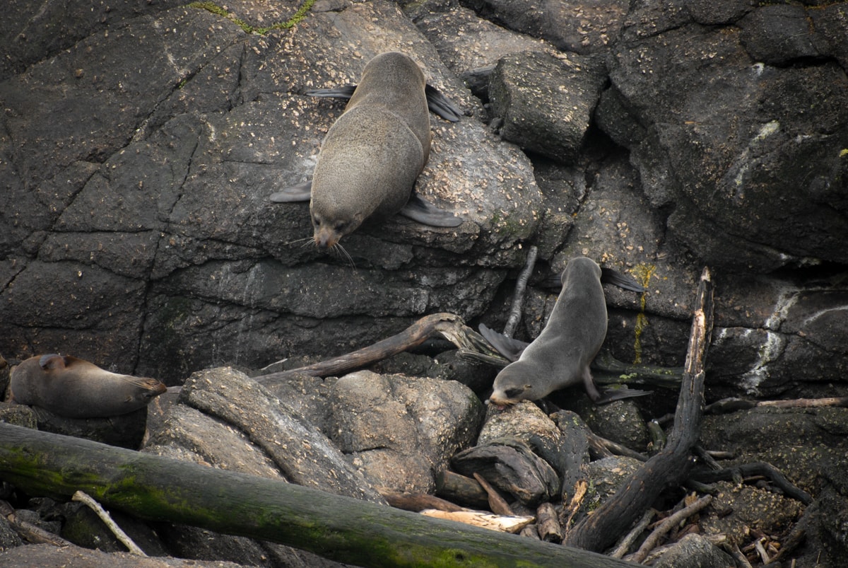
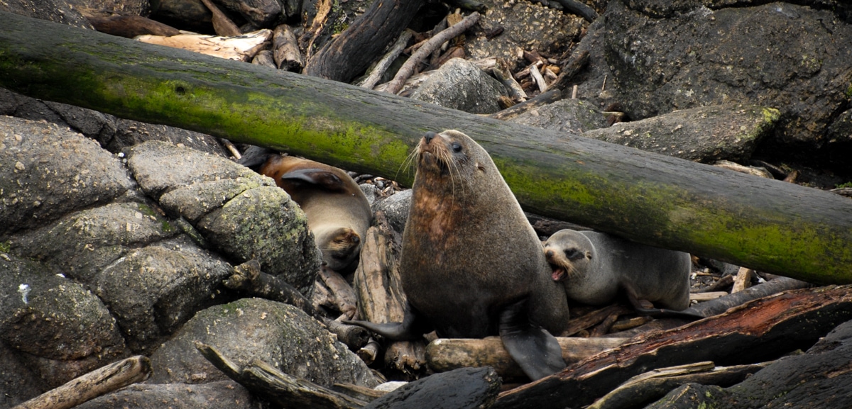
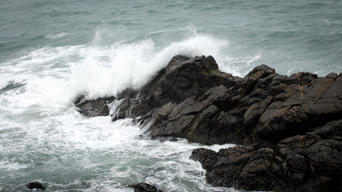
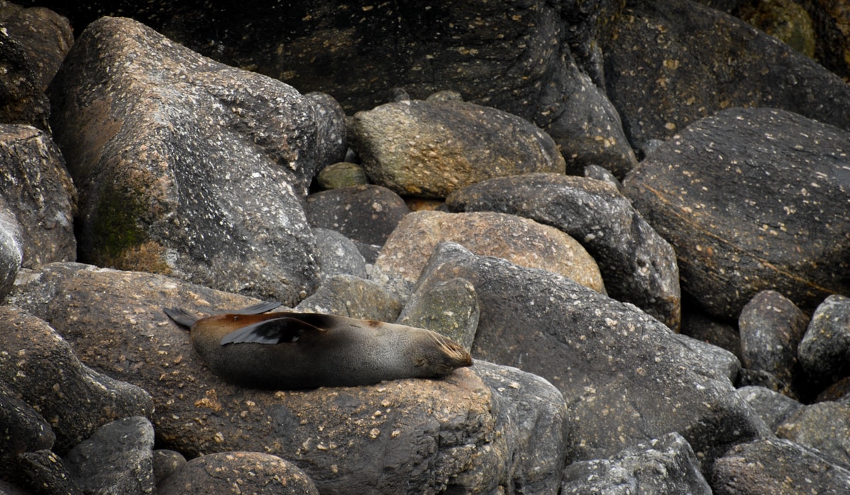
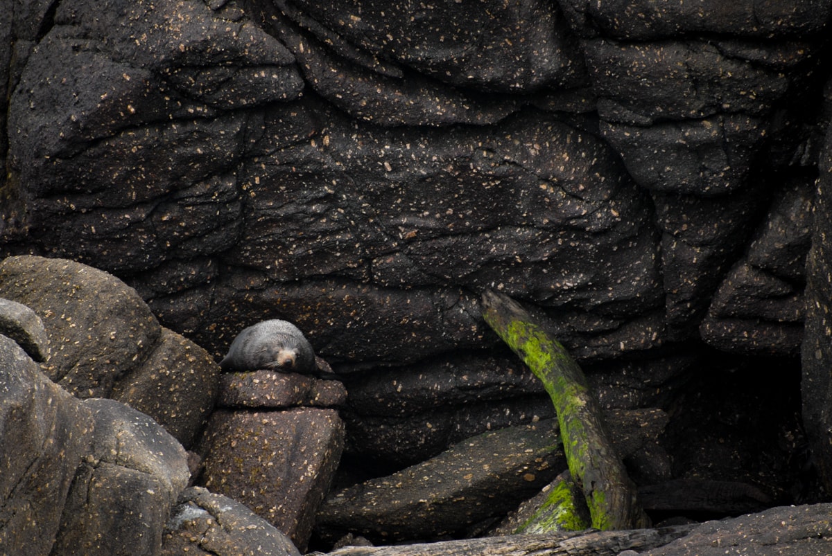
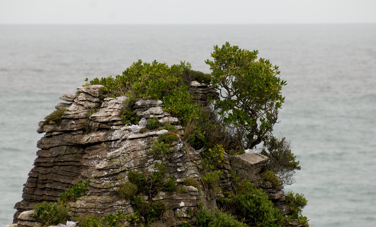
Stop #1 – Cape Foulwind and its resident seal colony. Apparently Captain Cook wasn’t too pleased with this Cape when he named it in the 1700s (story goes the winds coming off the Cape blew his ship way offshore). Nevertheless it stuck, over the earlier, arguably better, and unquestionably more pleasant name assigned by explorer Abel Tasman decades earlier, Rocky Cape. Oh well. We walked along some coastal bluffs, saw birds roosting on Wall Island (see photo with many white dots), and took 300+ seal photos once we reached the colony area. Not to worry, the collection below has been subject to ruthless editing.
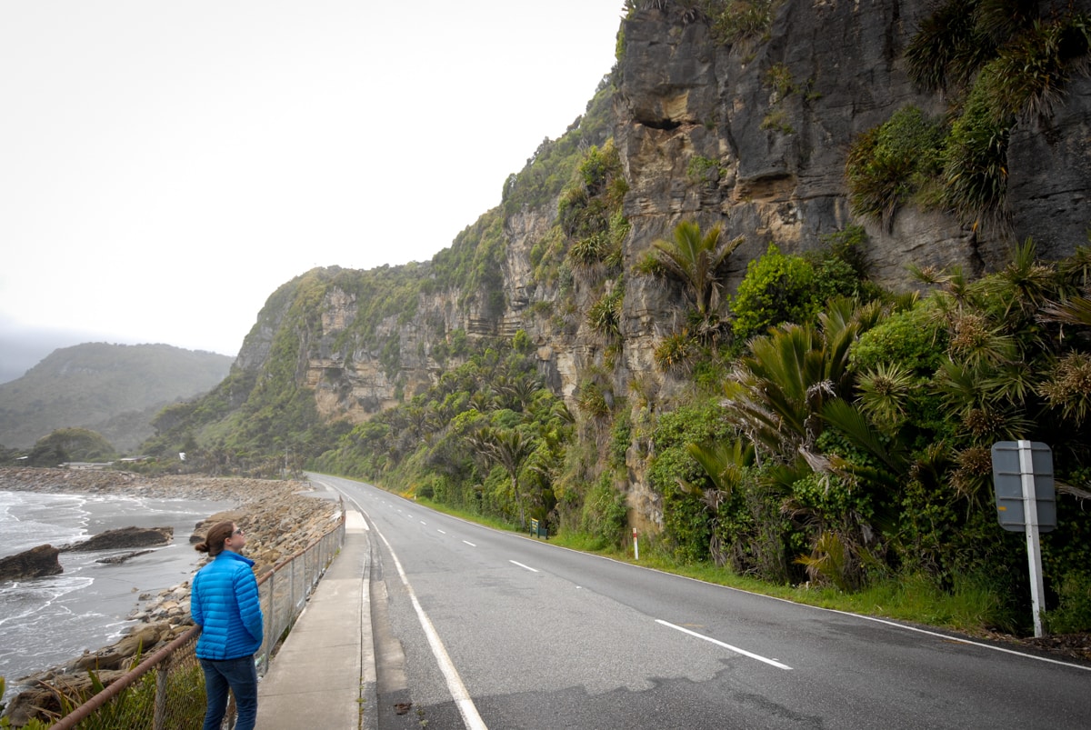
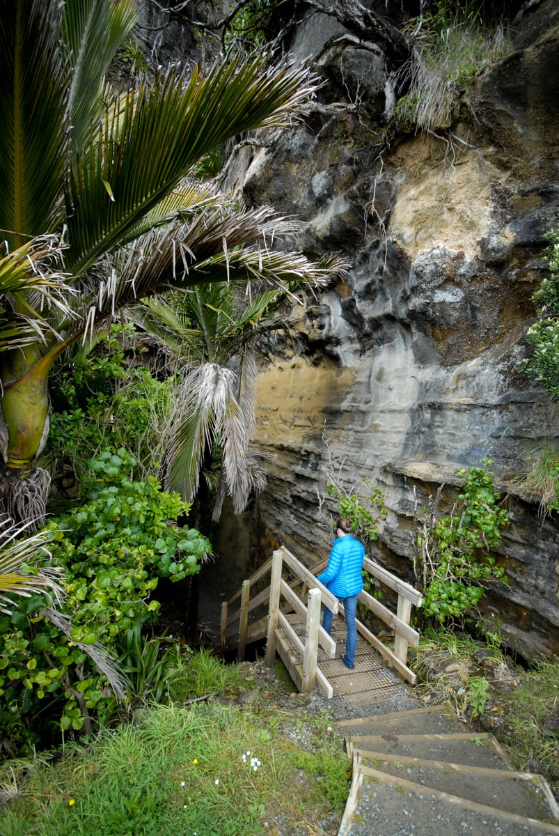
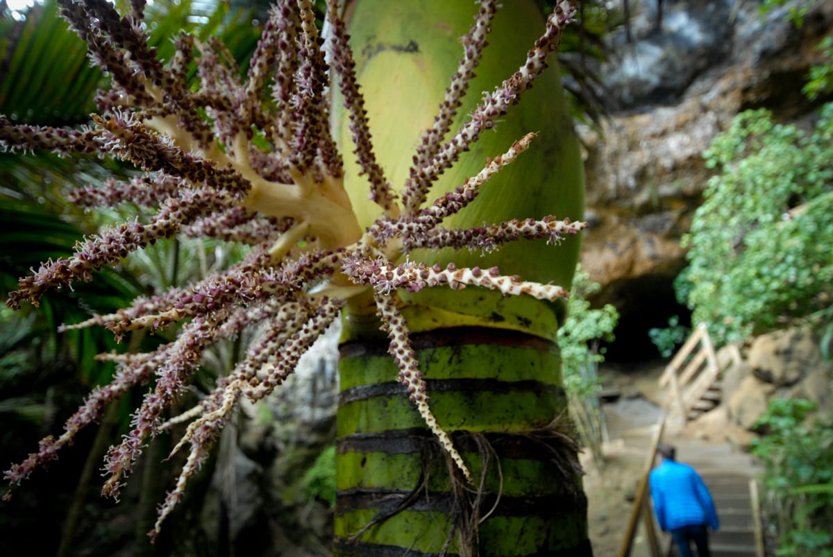
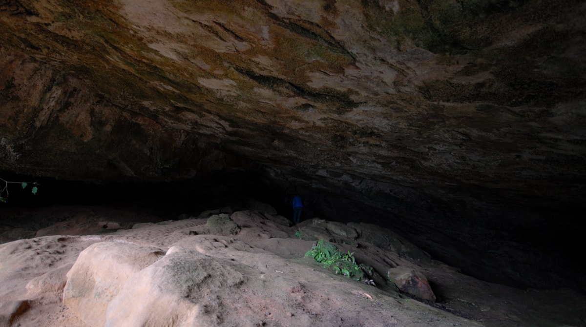
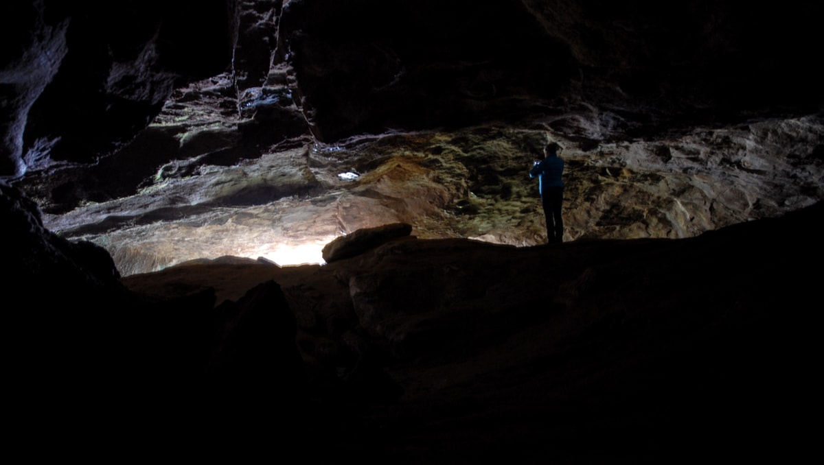
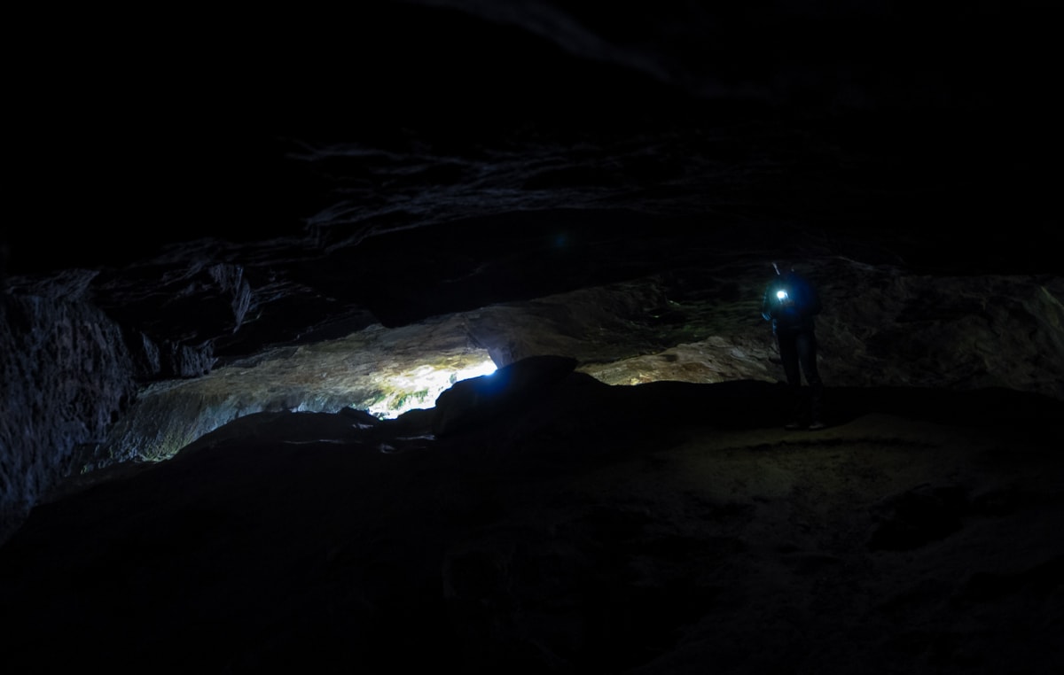
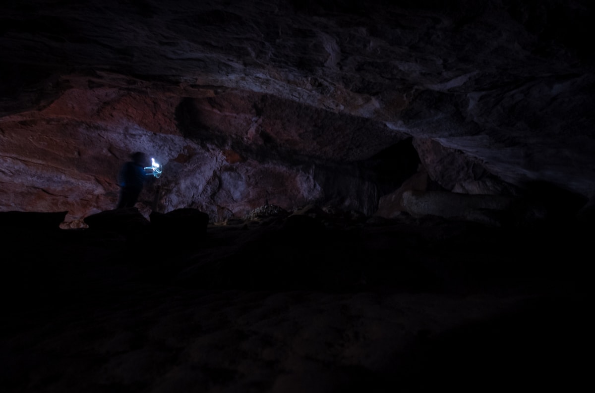
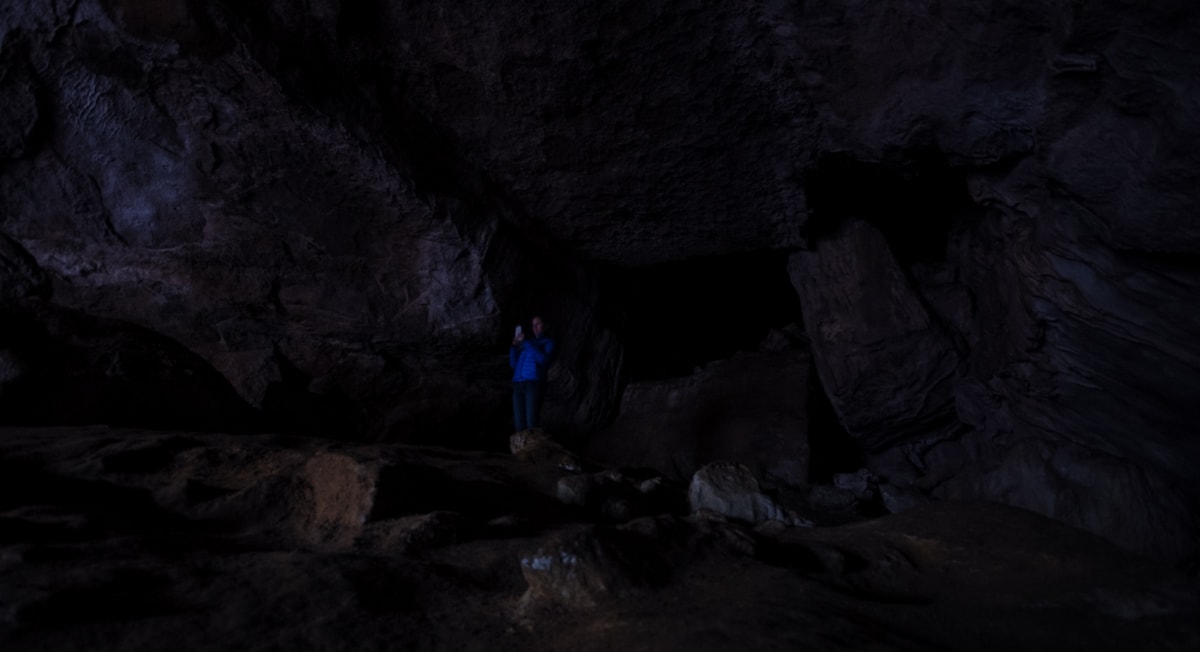
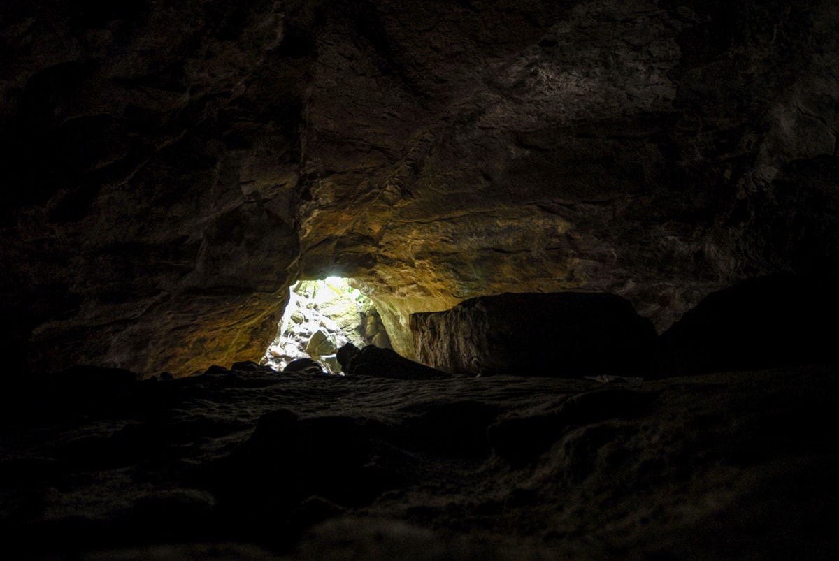
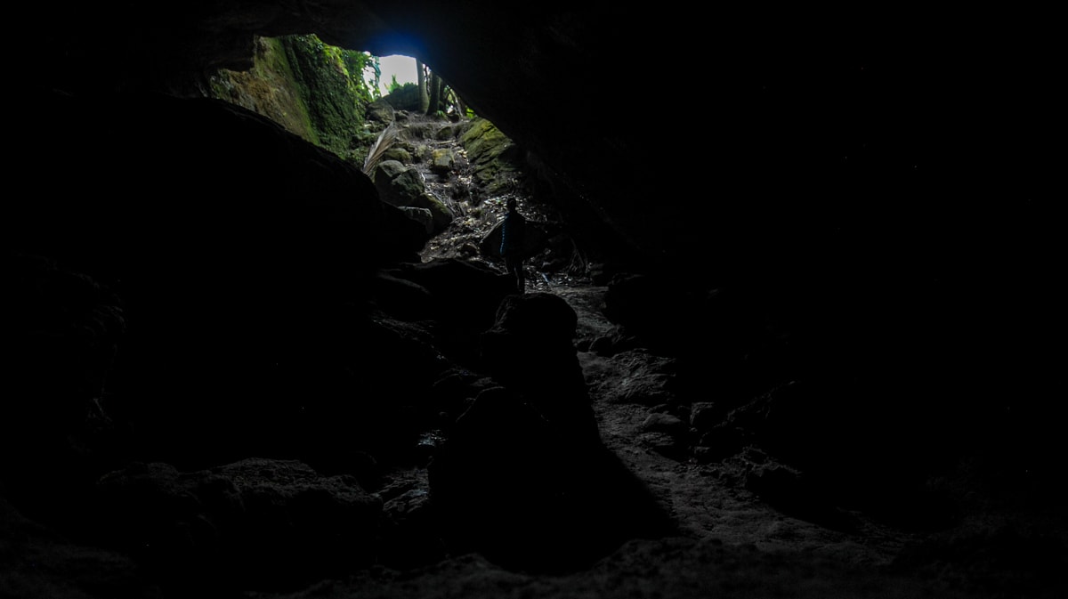
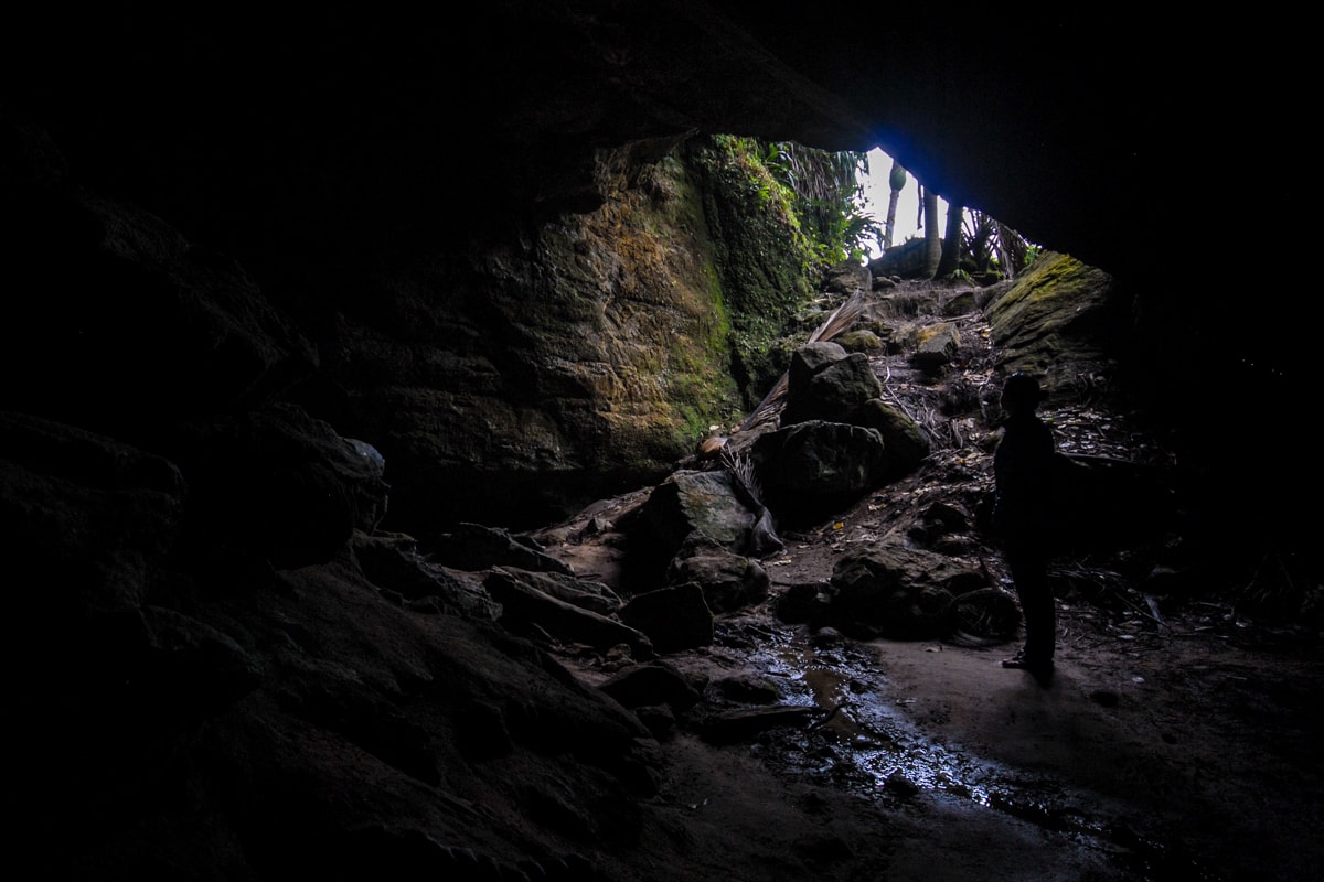
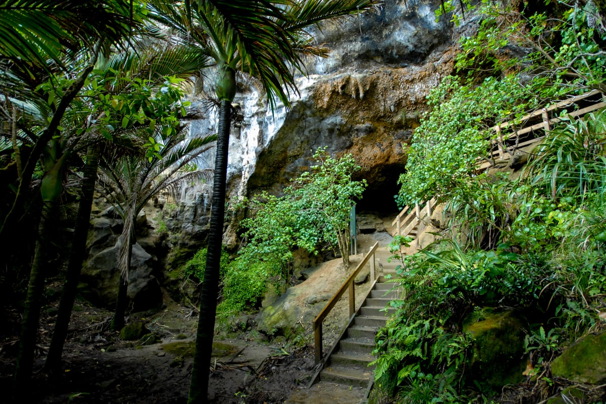
Stop #2 – Punakaiki Cavern. To digress for a second – the first natural wonder we tried to visit upon arriving in Westland was the Oparara Arches. Due to heavy rain, its isolated location 115km north of almost anything, and the final 15km of sloppy mud road that we found after arriving in the town of Oparara, we decided to turn around at kilometer 100 instead of brave the mud. Sad face. So when we drove by the sign for Punakaiki Cavern the next day, it seemed like fate led us to this much more accessible, perhaps equally interesting rock overhang instead. The Cavern isn’t in our travel book, not on our trusty AA map, and there wasn’t much in the way of signage apart from the DOC sign visible from the road. We ended up finding a ‘trail’ marked with vertical poles that took us into the mouth of the cavern, maybe 150 ft back into it (using Elisse’s phone flash as our light), and then back out a separate entrance. Half of the walk allowed enough headroom to stand up in! Maybe some day we’ll return with better flashlights (or ‘torches’, as they’re called here).
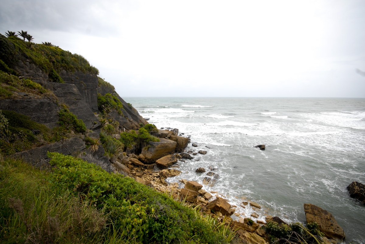
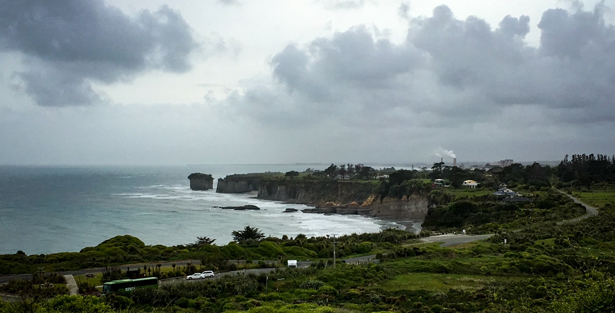
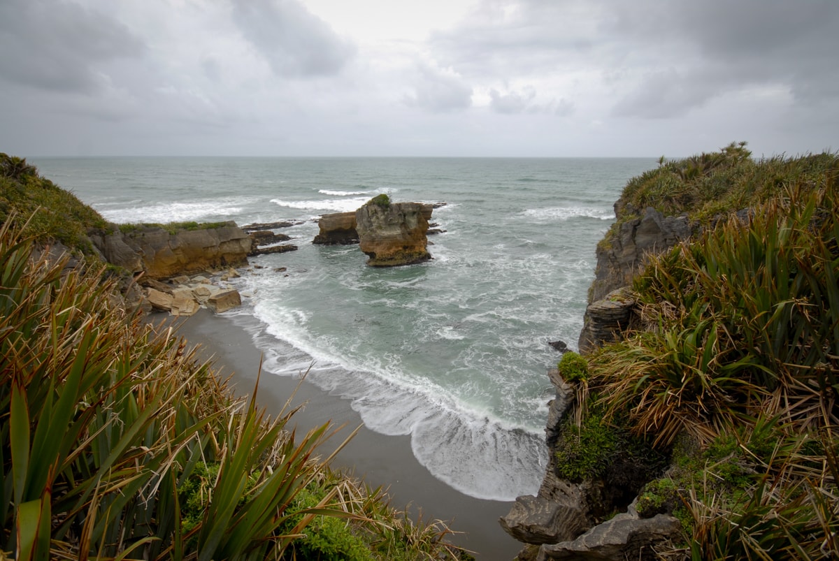
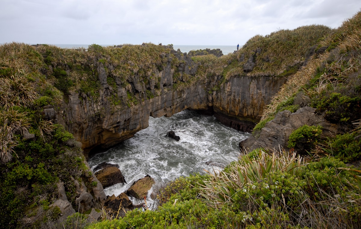
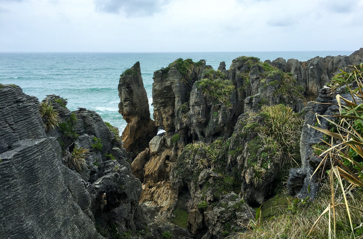
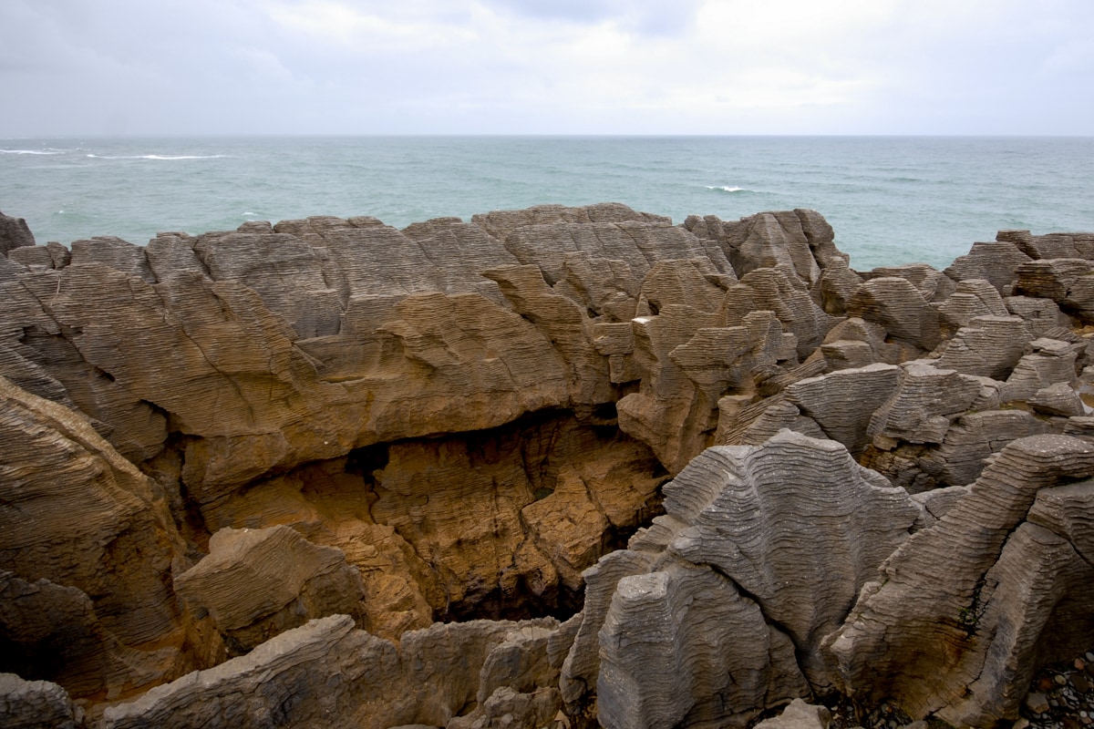
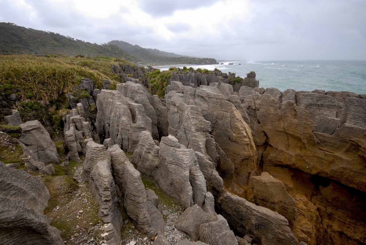
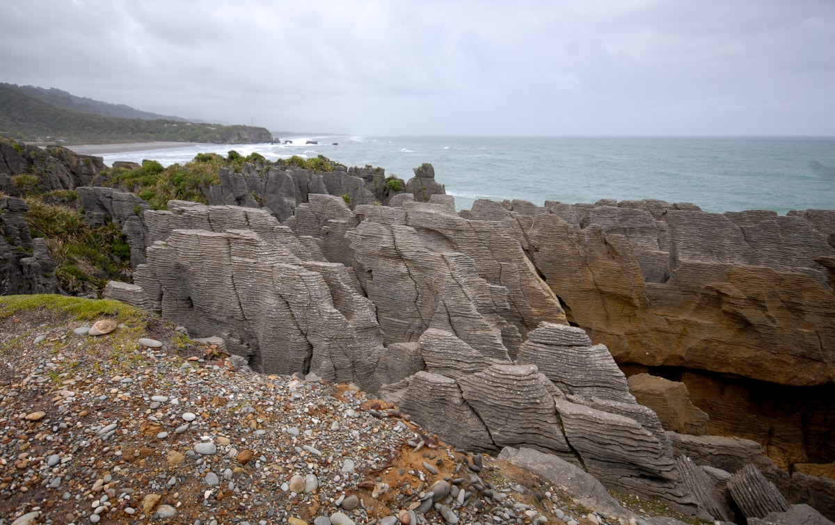
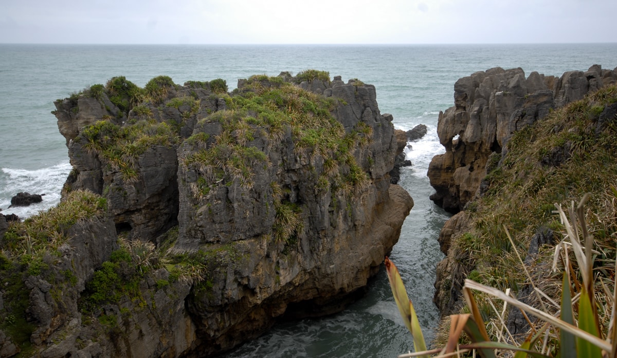
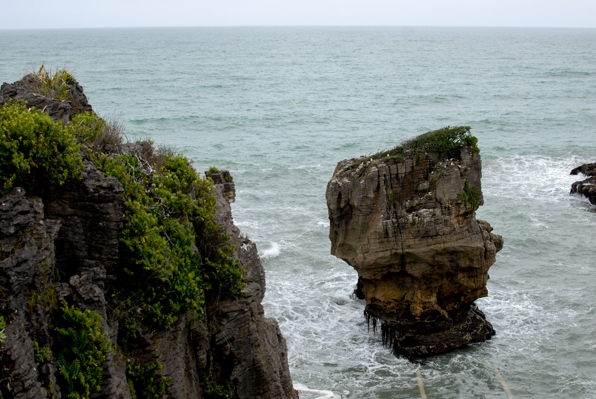
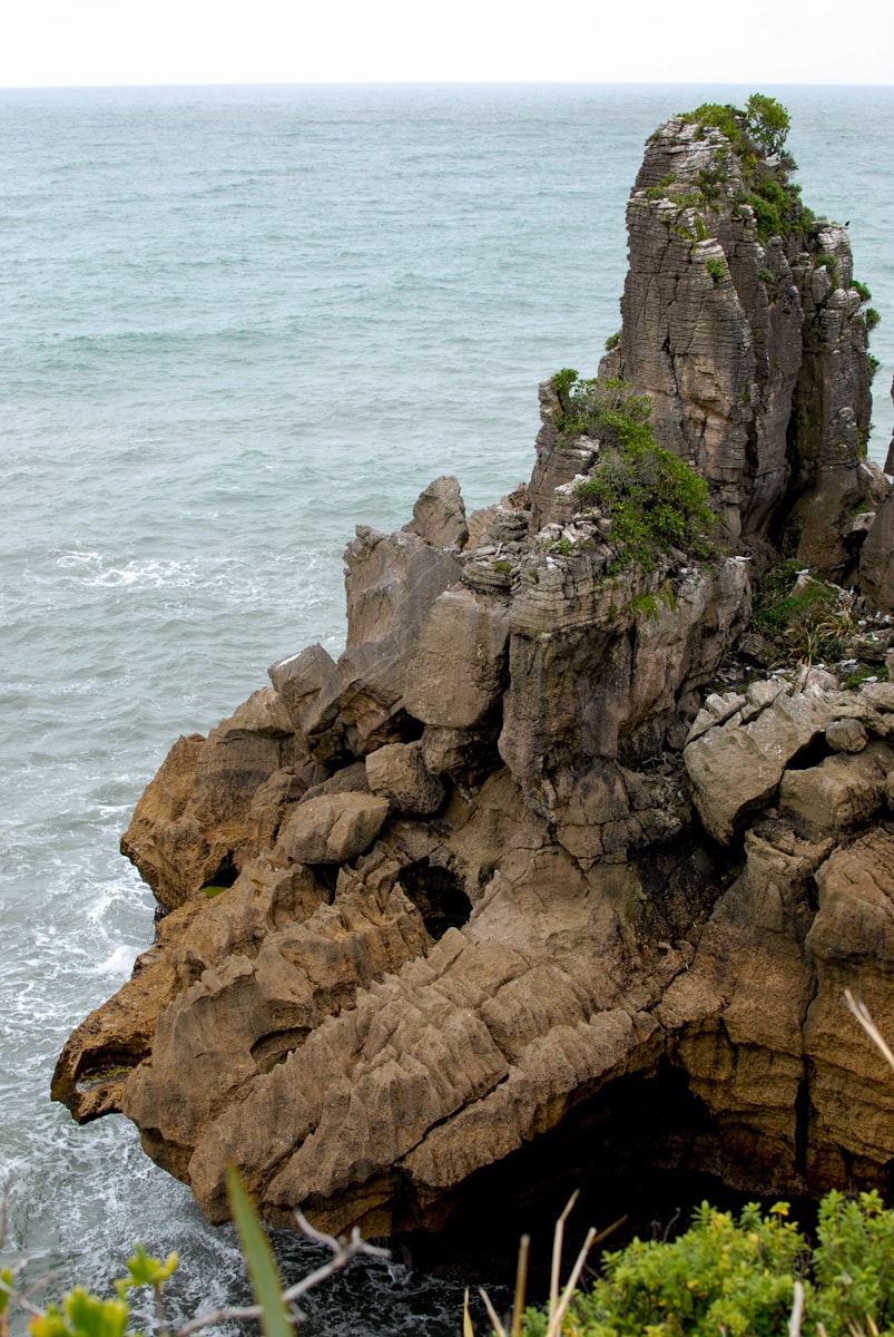
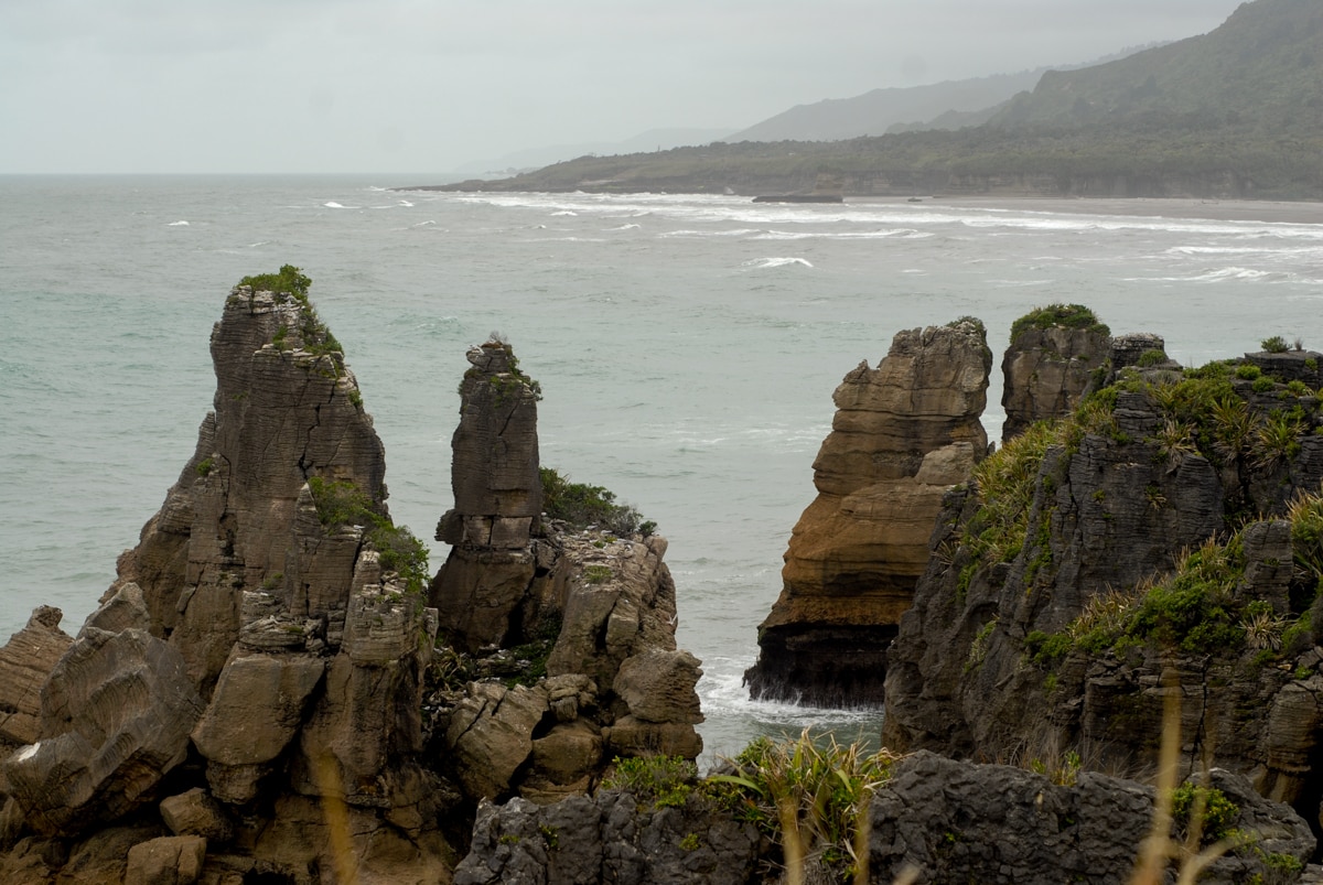
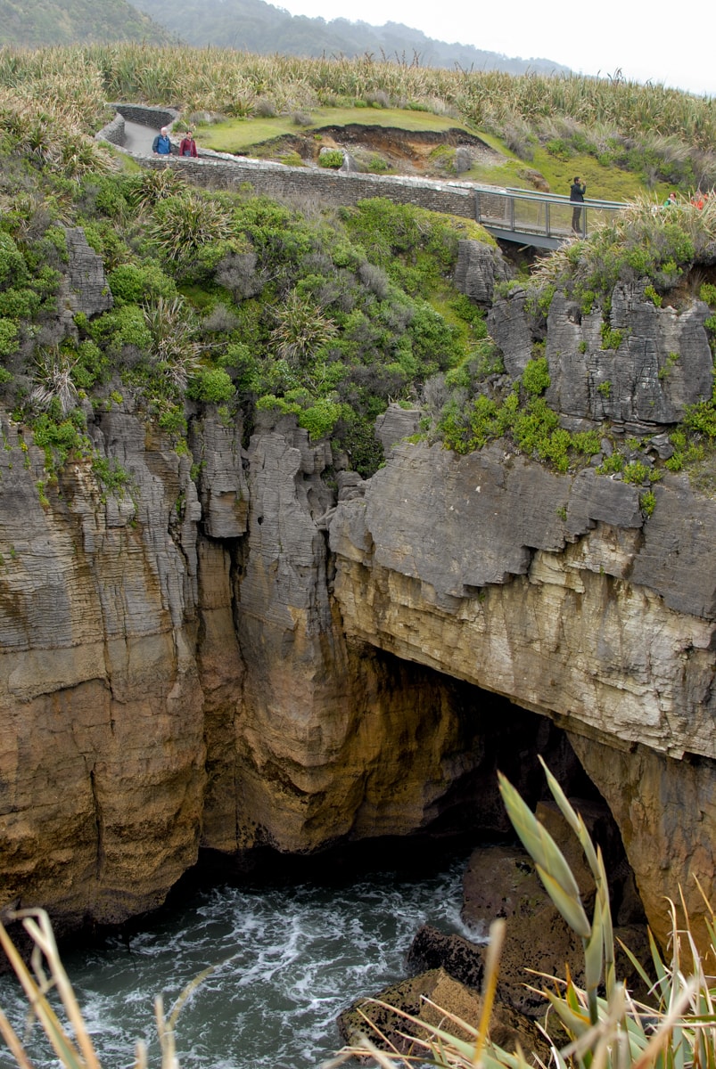
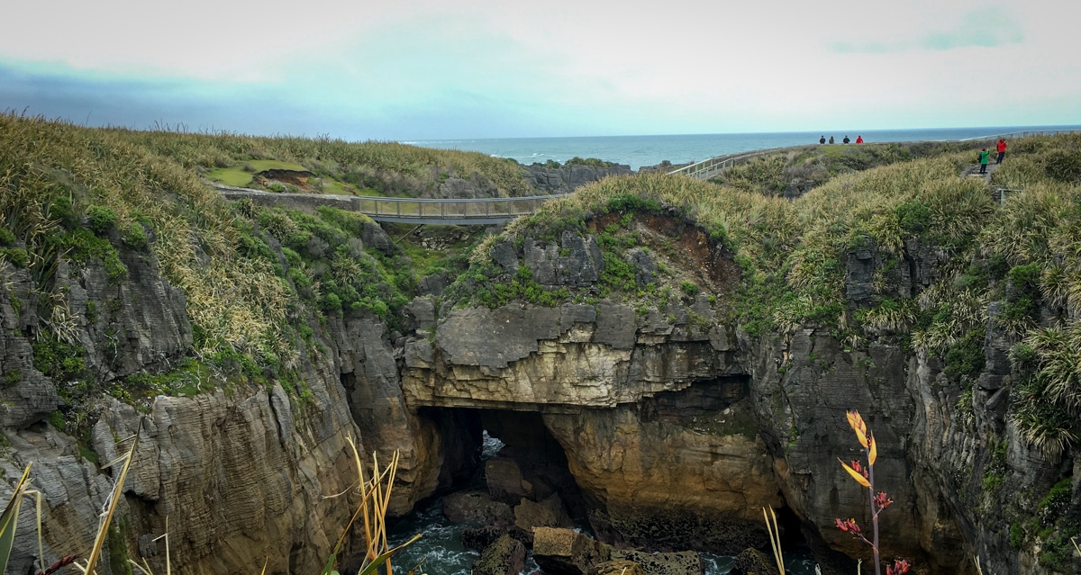
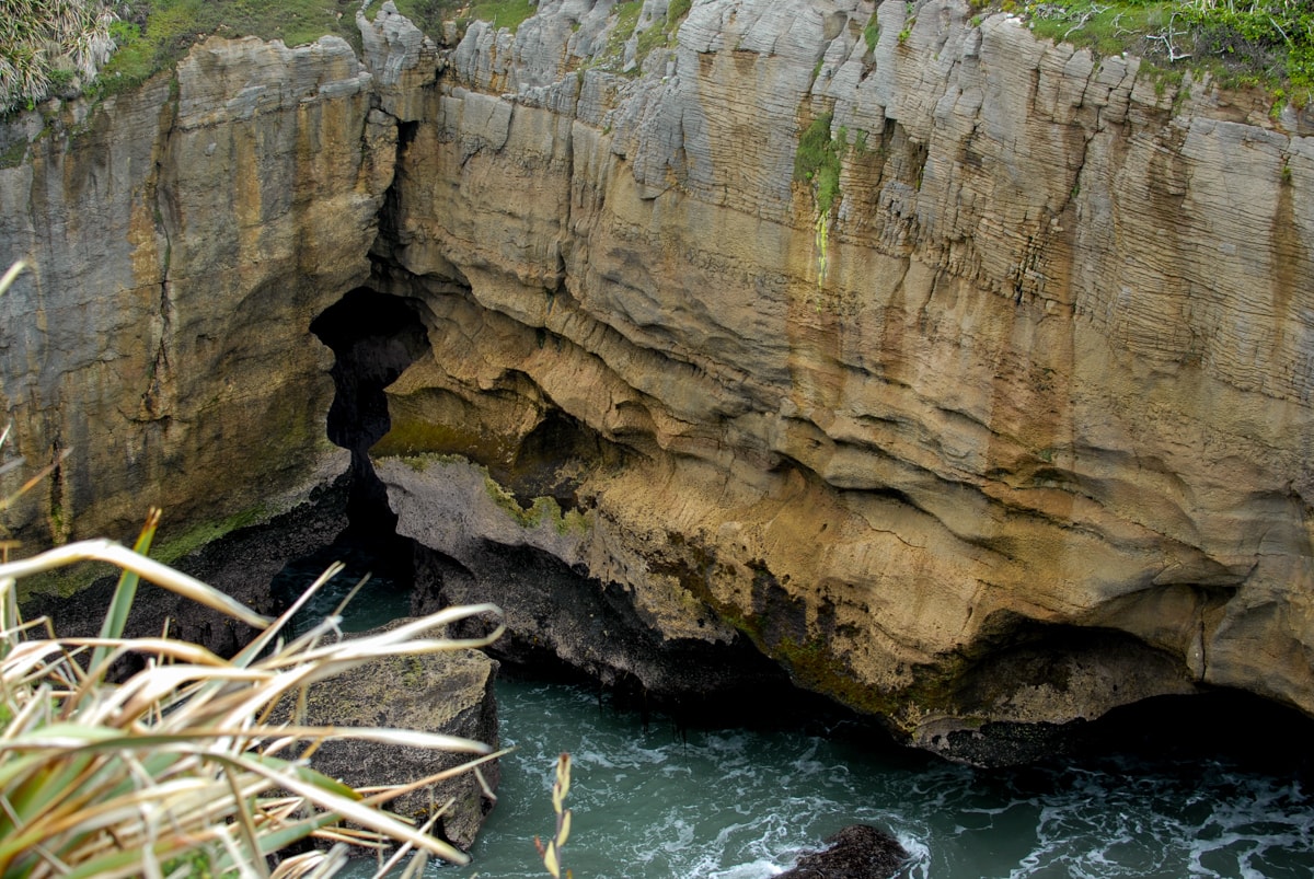
Stop #3 – Pancake Rocks. Many years of seafloor sediment compaction, mud layering, more compaction, more layering, and earthquakes have surfaced these really interesting collections of rock just off NZ’s west coast. The surf has pounded away some of the rock, leaving really interesting vertical towers of rock, that kind of resemble grey pancakes stacked on one another, hence the name. You can only access the area via a walking track that you’re required to stay on, so both Elisse’s and my photos ended up looking very similar. And as it turns out, they look an awful lot like all the ones you’ll find online too. Regardless though, this area was a treat to see. And the rain even held off while we were there, so my camera didn’t get soaked!
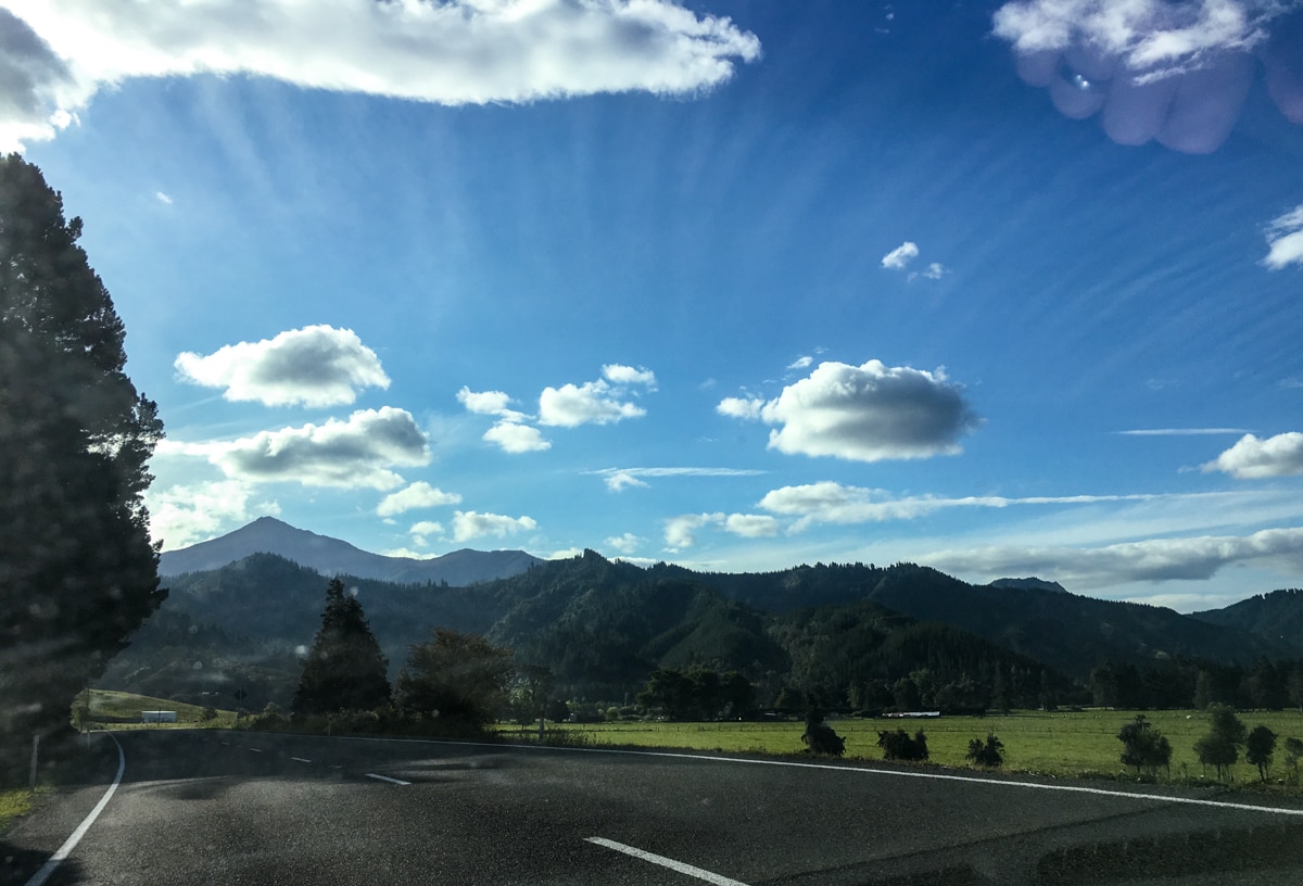
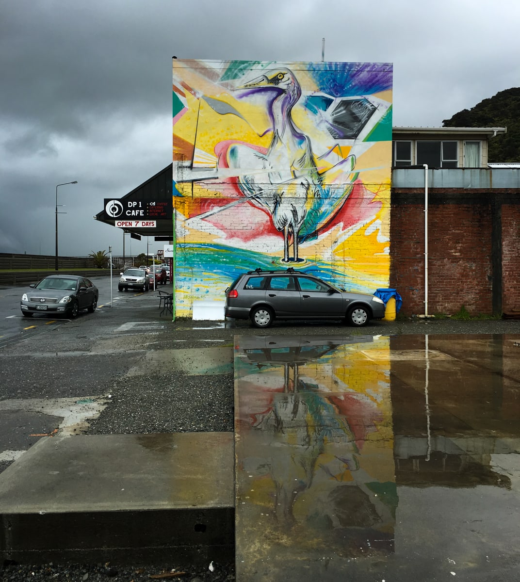
Stop #4 – Greymouth. An old mining town, Greymouth is now one of the larger towns in the region. Right before we entered the town across a low bridge, it started pouring. Pouring! So we went to find a bite to eat and a couple of Flat Whites (which we really should introduce to the US). (Elisse says they’re already a thing. She’s probably right.) We only took one photo here due to the downpour, the cool heron art on the side of the cafe wall. Very fun. I also included the other Westland photos that we liked below. The first two are taken through the car windshield – gasp – and for this we are eternally sorry.
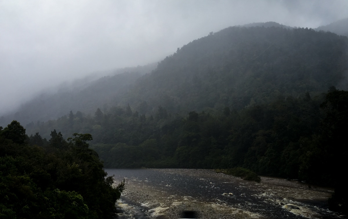
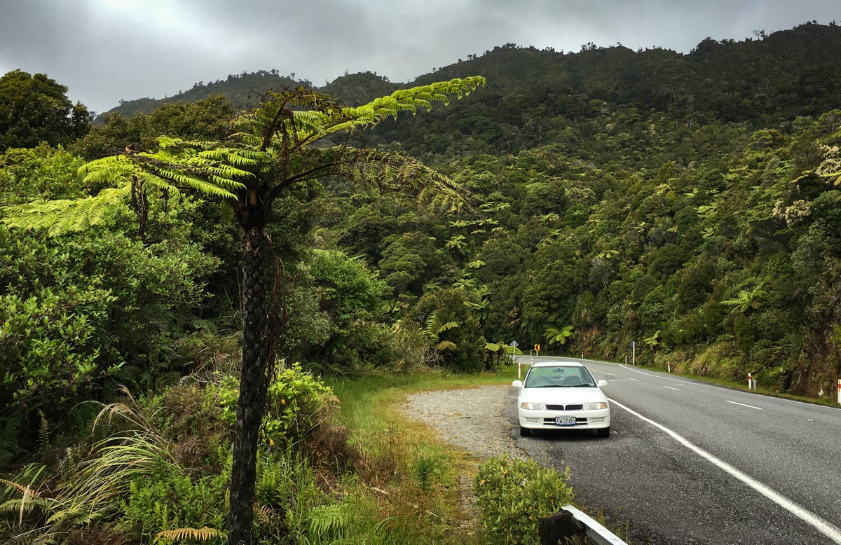
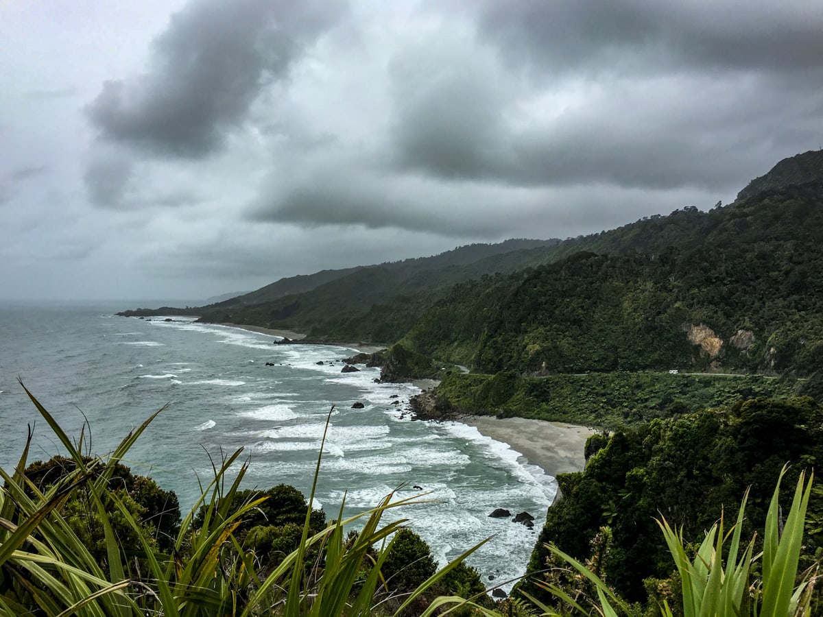
Overall assessment of Westland so far then – sparse, very rainy, beautiful roadside foliage and rivers (and probably beautiful mountain views when there’s no rain), cool bridges, and really nice people. Watch for Tour Part 2 still to come!
Awesome photos. I’m really looking forward to this part. You have a 300mm lens with you? Neat.
Also, trusty AA map?
Yes! It’s come in handy a few times now. And the map seems to at least always be accurate – Google’s not 100%. One time it told us to drive over some train tracks and up an embankment on the other side, so…
Also AA is automobile association here, not Alcoholics Anonymous ;)
http://sprudge.com/things-flat-white-people-like-an-explainer-68930.html
Ah, I see now. Loved that read! : )
I thought you’d enjoy it !
The seals! They’re so cute!