Blanca, Ellingwood, Sand Dunes Oh My!
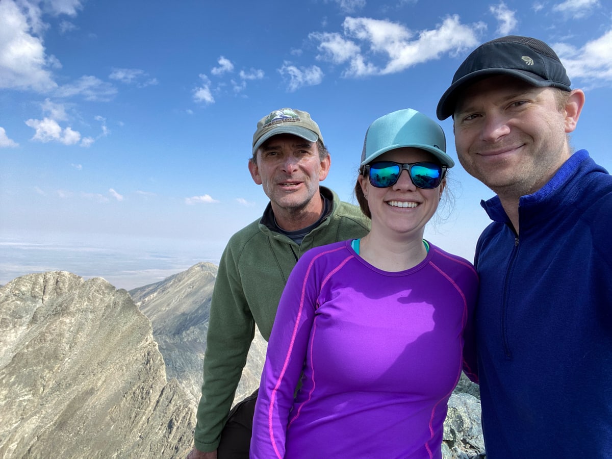
It takes a while to drive down to southwestern Colorado, which is probably why there are still a number of 14ers down there that we still need to get to. There’s little else getting in the way – the terrain is lovely, the weather is often nice (though sometimes rainy in the later summer), and there aren’t a whole lot of other people milling around taking up the nice campsites. We decided to make the journey down this summer in order to hike Blanca and Ellingwood with Dad.
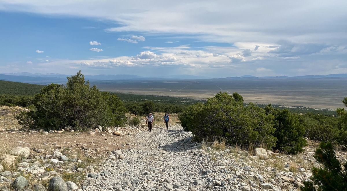
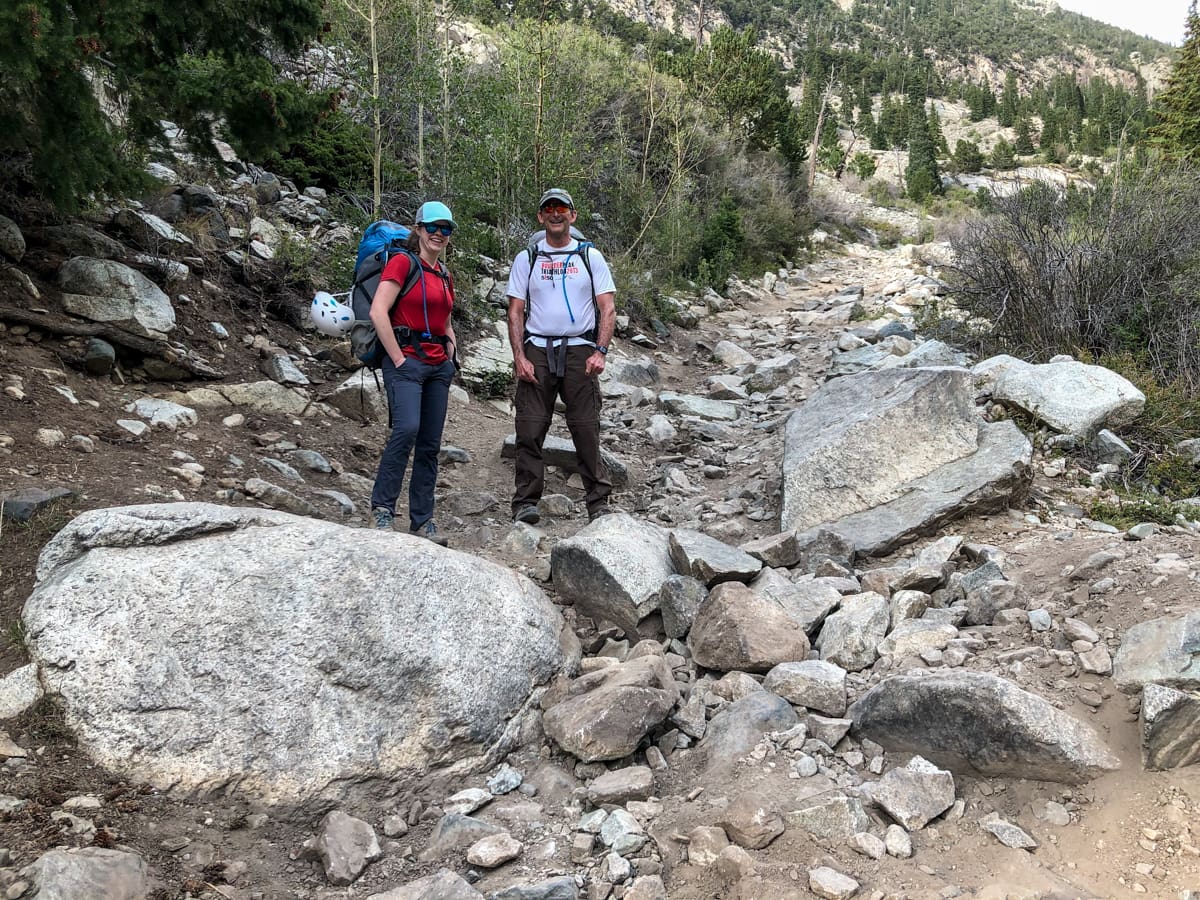
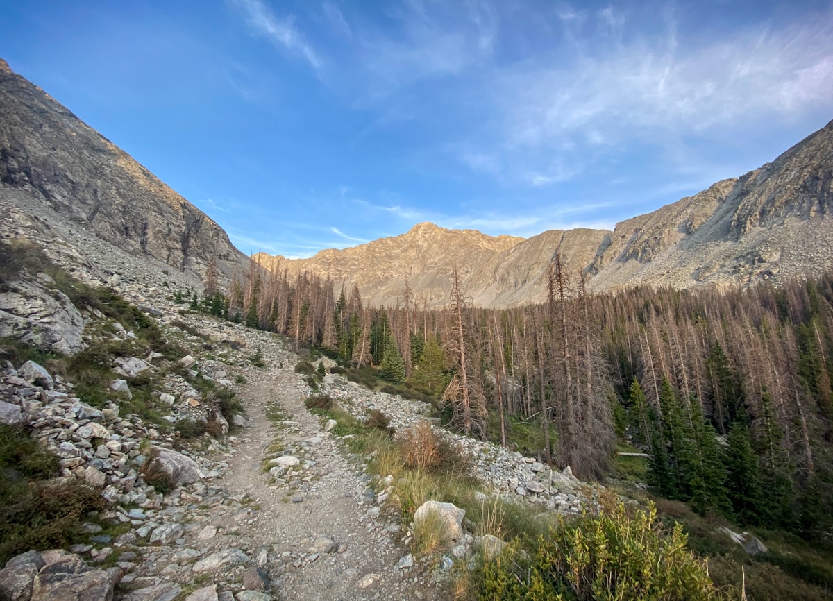
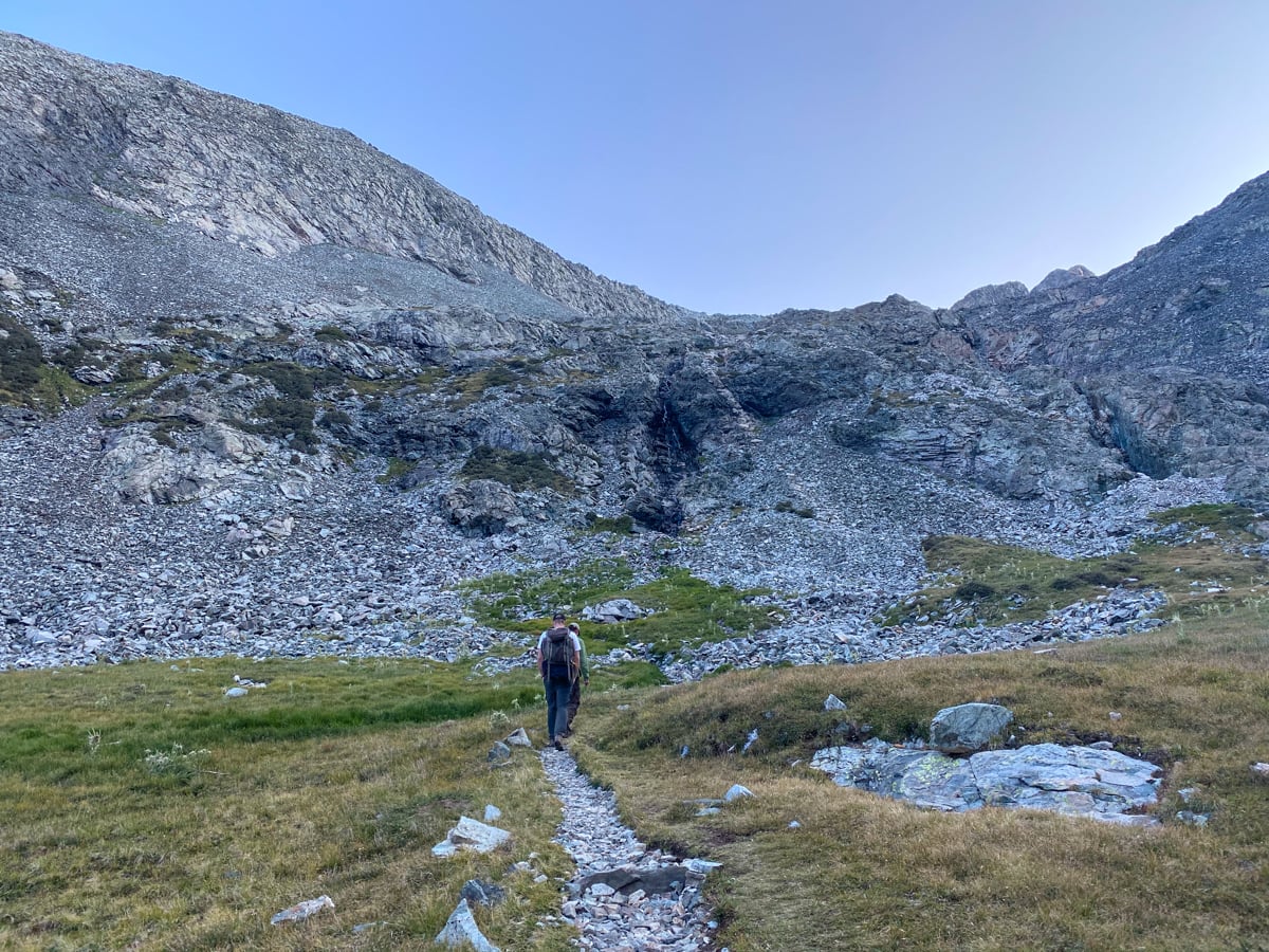
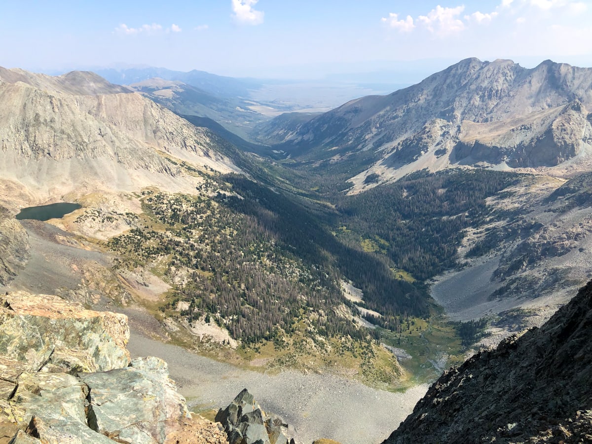
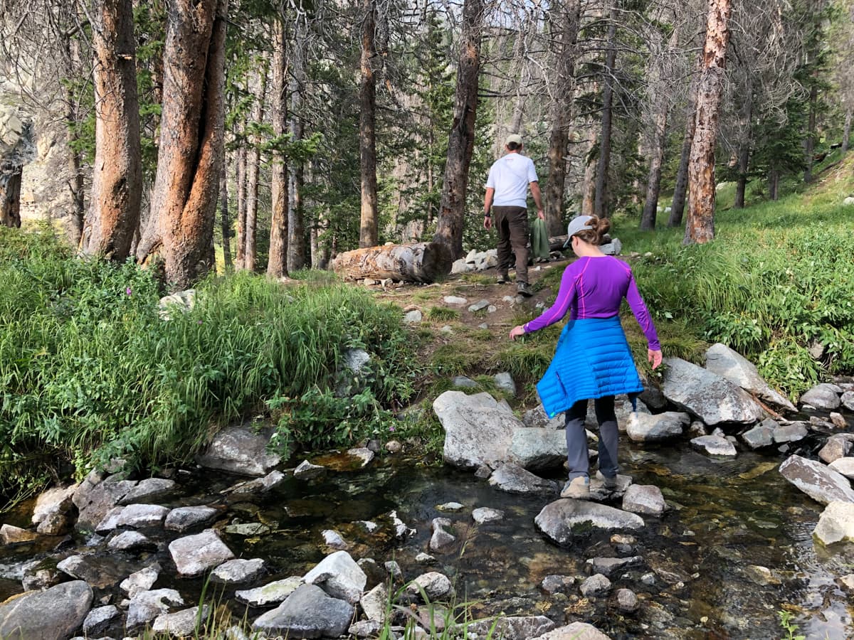
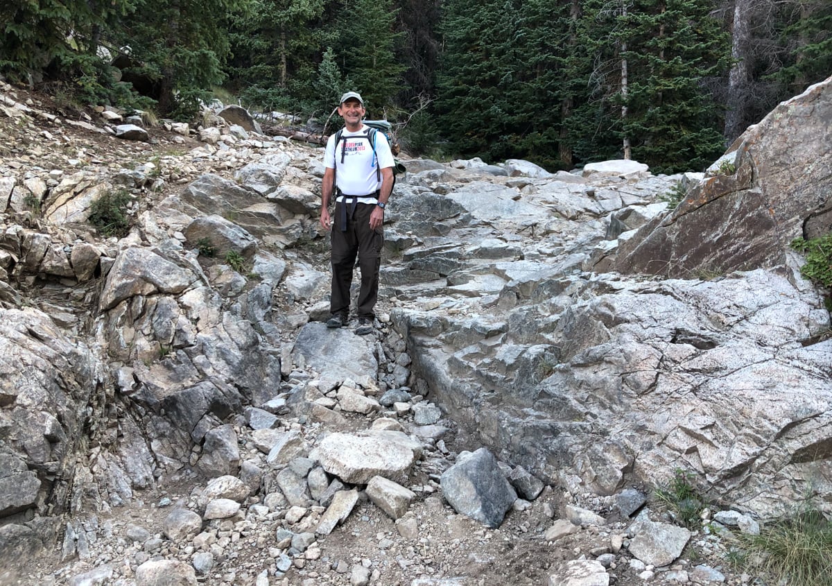
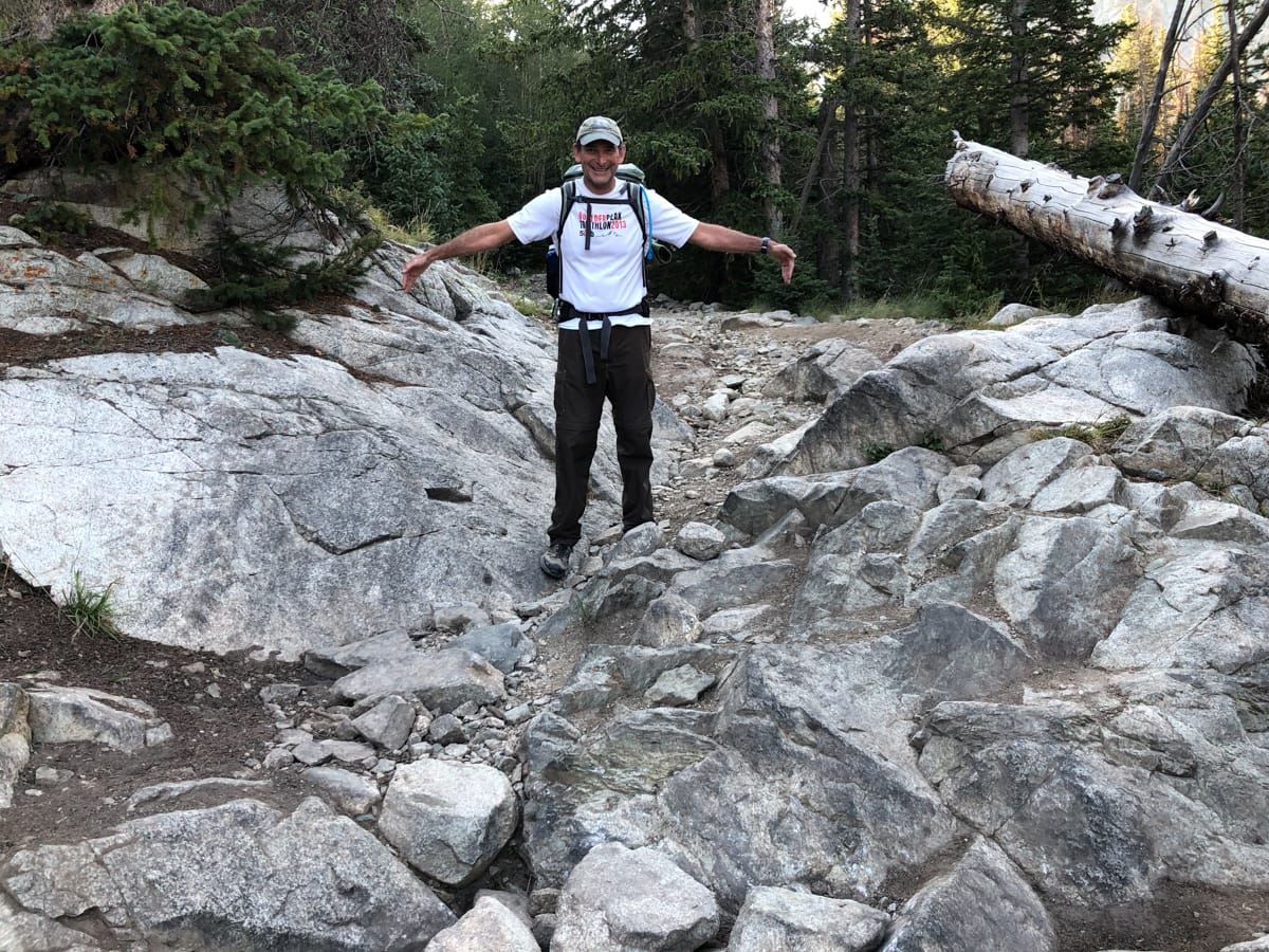
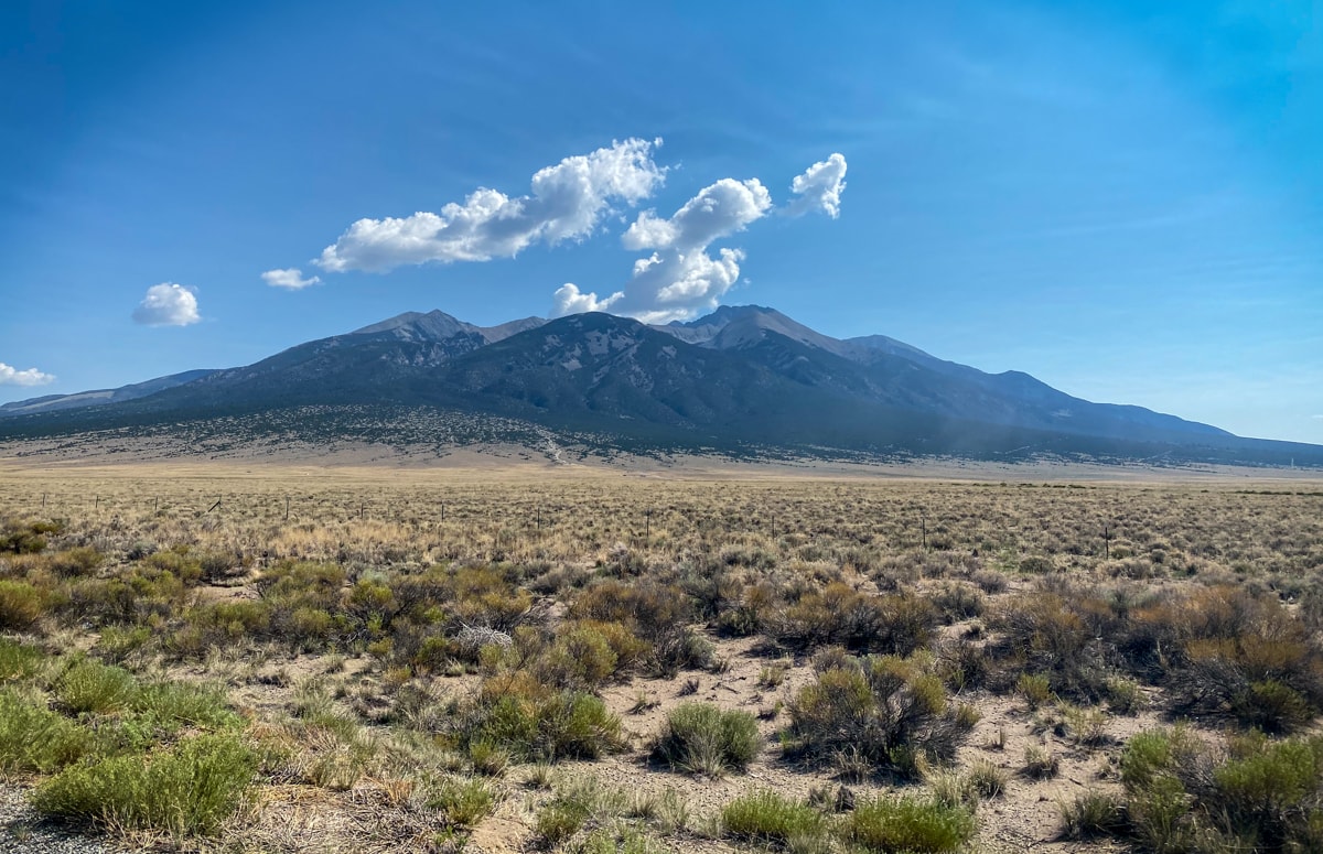
This mountainous area, and in particular Blanca Peak (4th highest in Colorado), anchors the southern end of the Sangre de Cristo Range. It arises out of fairly flat farm / ranchland area, sitting a lofty ~7k ft above. The standard approach follows the Lake Como Road from the flats up to Lake Como at 11,750ft. This road is known for being the ‘toughest 4WD road in the country’, and apparently top 10 in the world according to a sign at the bottom – read more if you’re interested. Needless to say, we parked our CRV close to the bottom. Our first hiking day was literally just ascending this road.
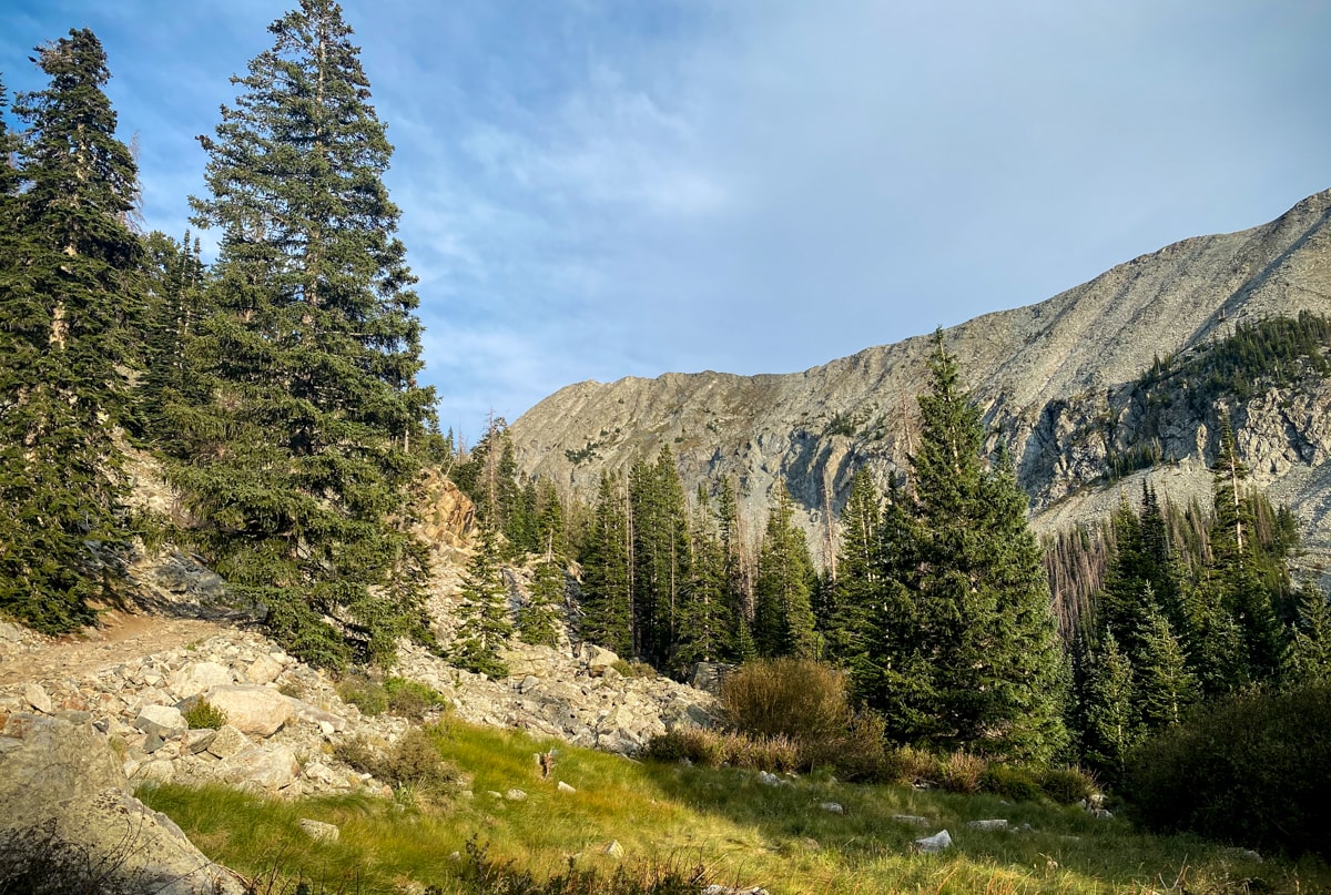
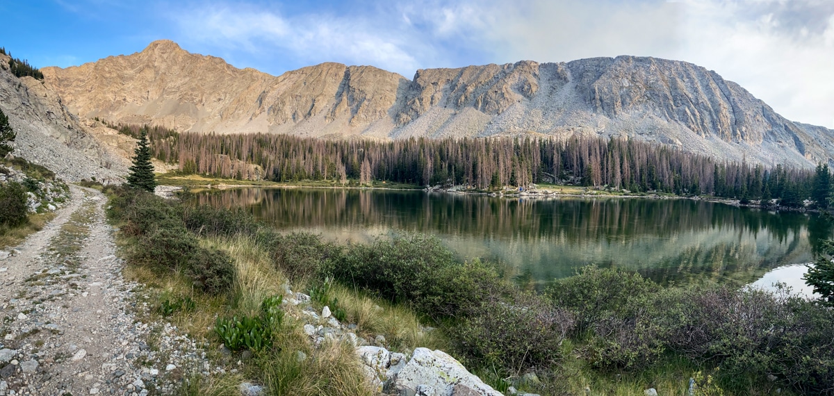
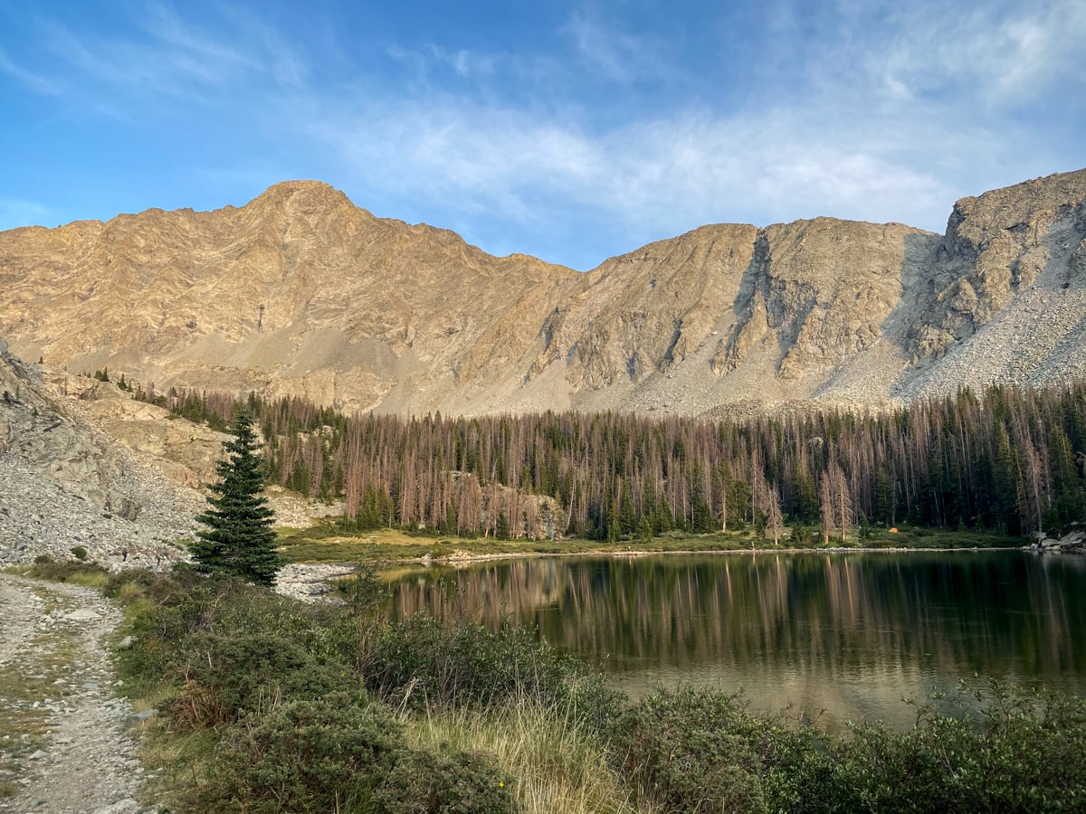
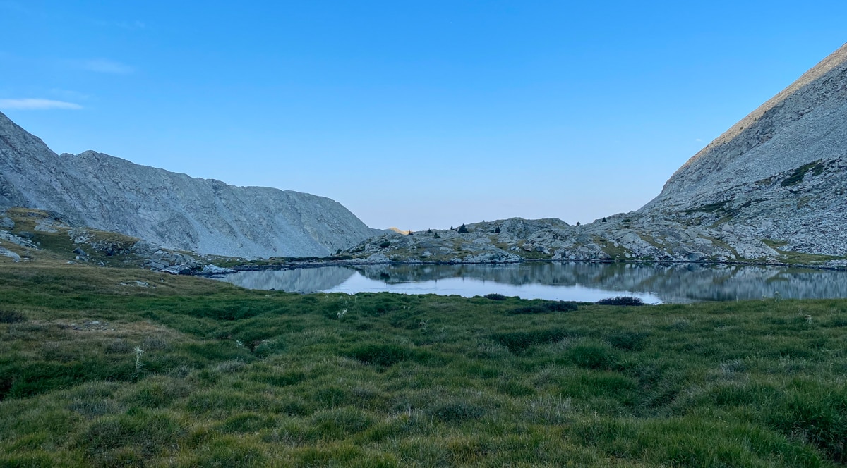
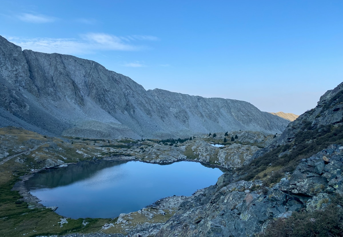
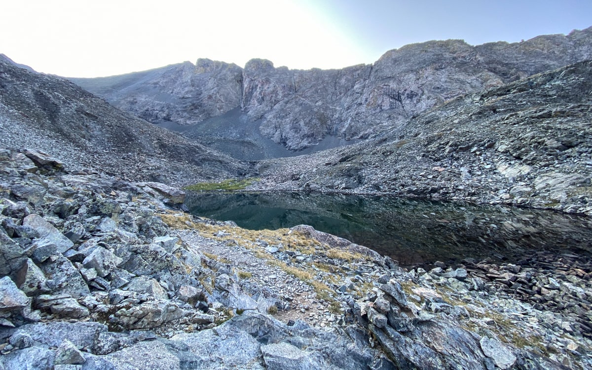
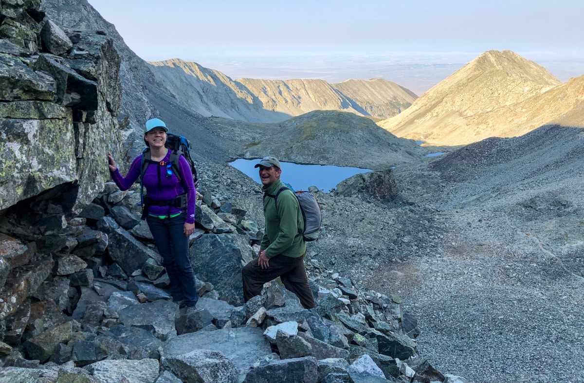
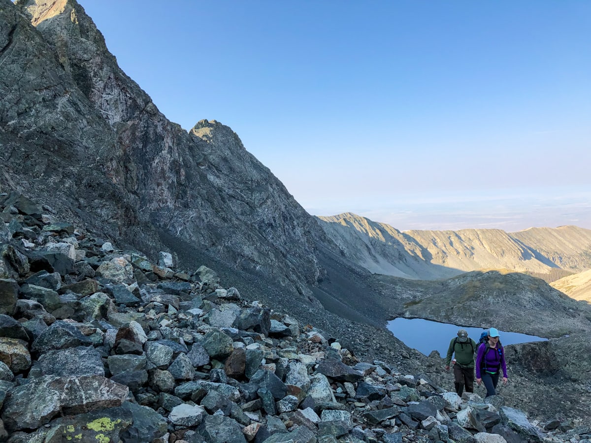
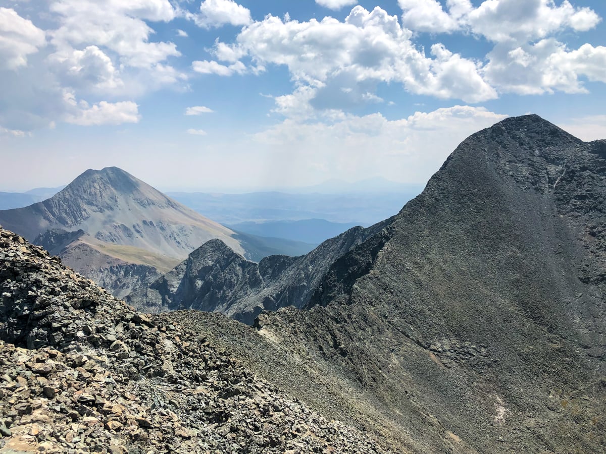
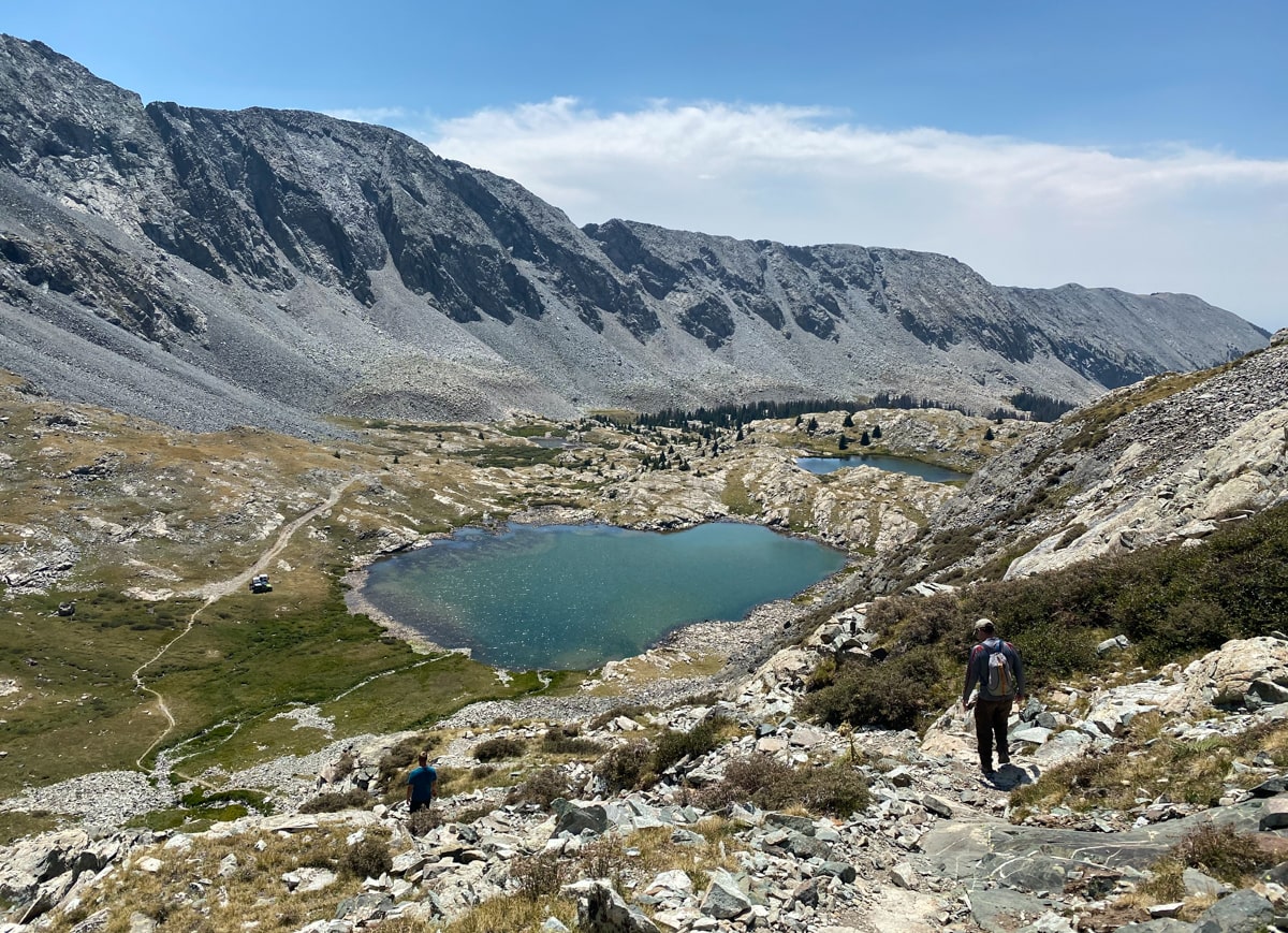
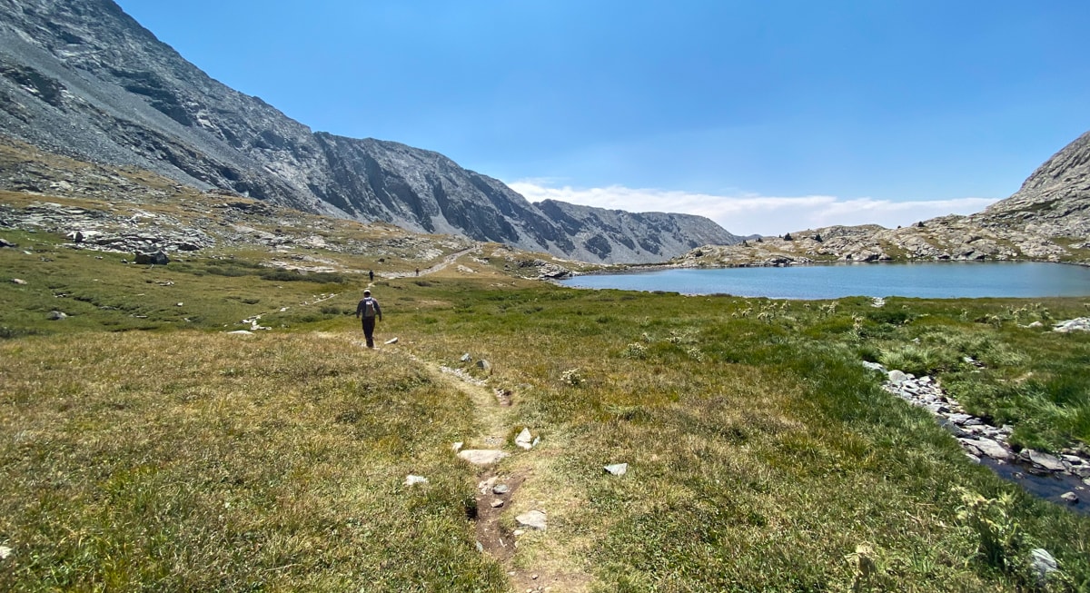
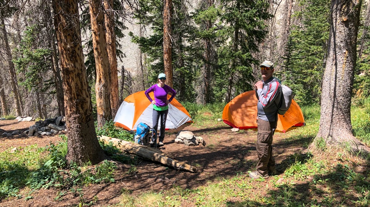
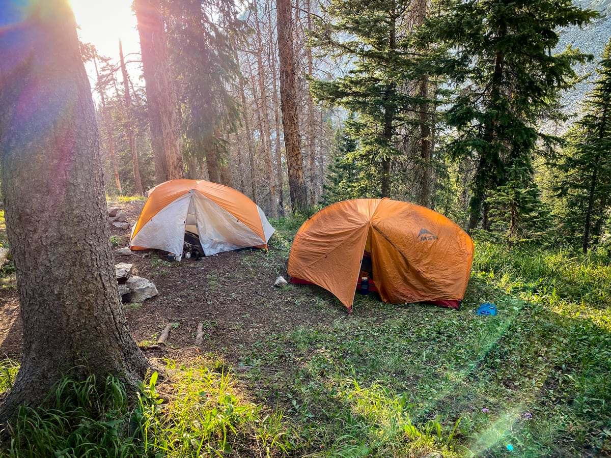
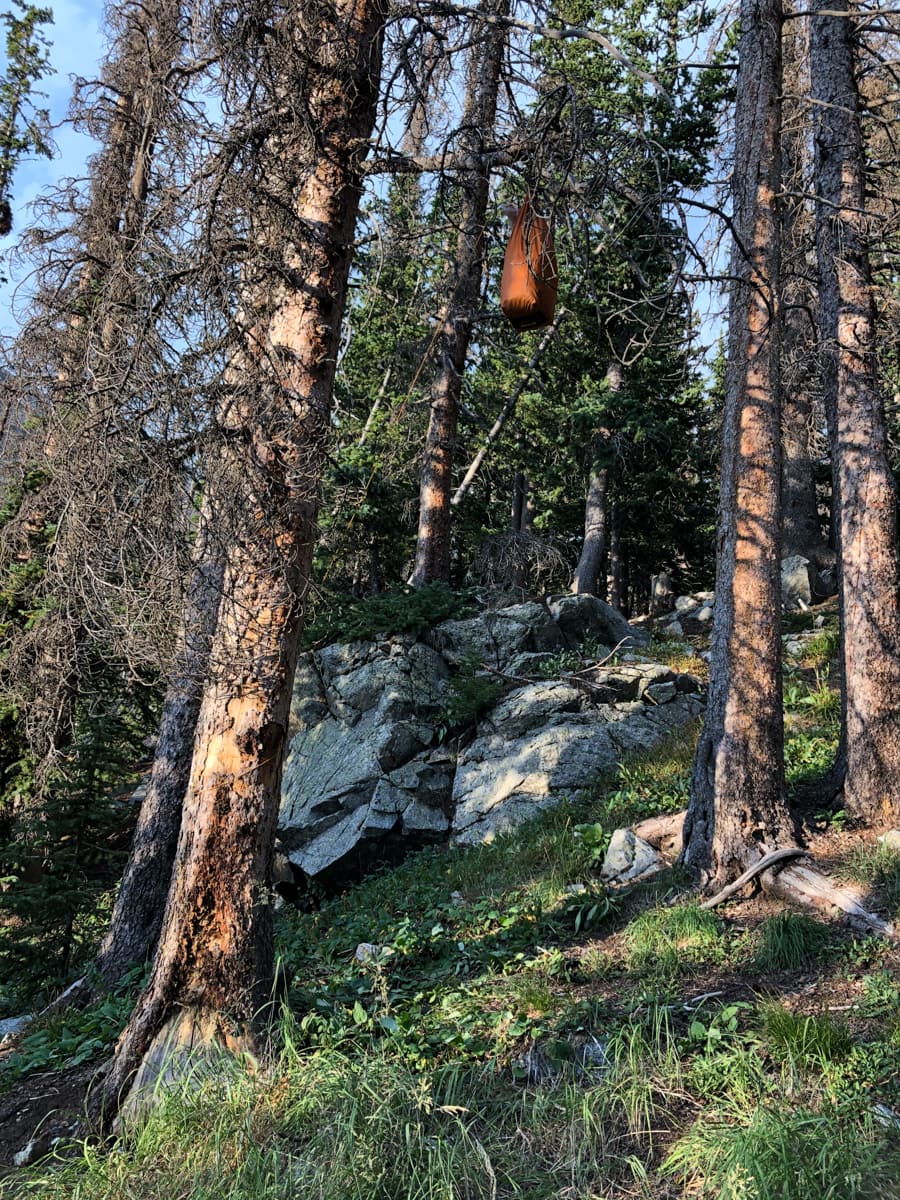
We ended up camping up in a treed spot overlooking Lake Como. The next day, we continued up the road/trail – gradually becoming more trail-like the farther we went. After the trail wandered up onto the shoulder of the mountain where vehicles couldn’t follow, it started wandering around large rock outcroppings and past a string of unique lakes. Completely surrounded by rock, and still in the windless morning, these lakes reflected the early morning dawn with perfect clarity. Passing them, we made it up to the pass separating Blanca from Ellingwood.
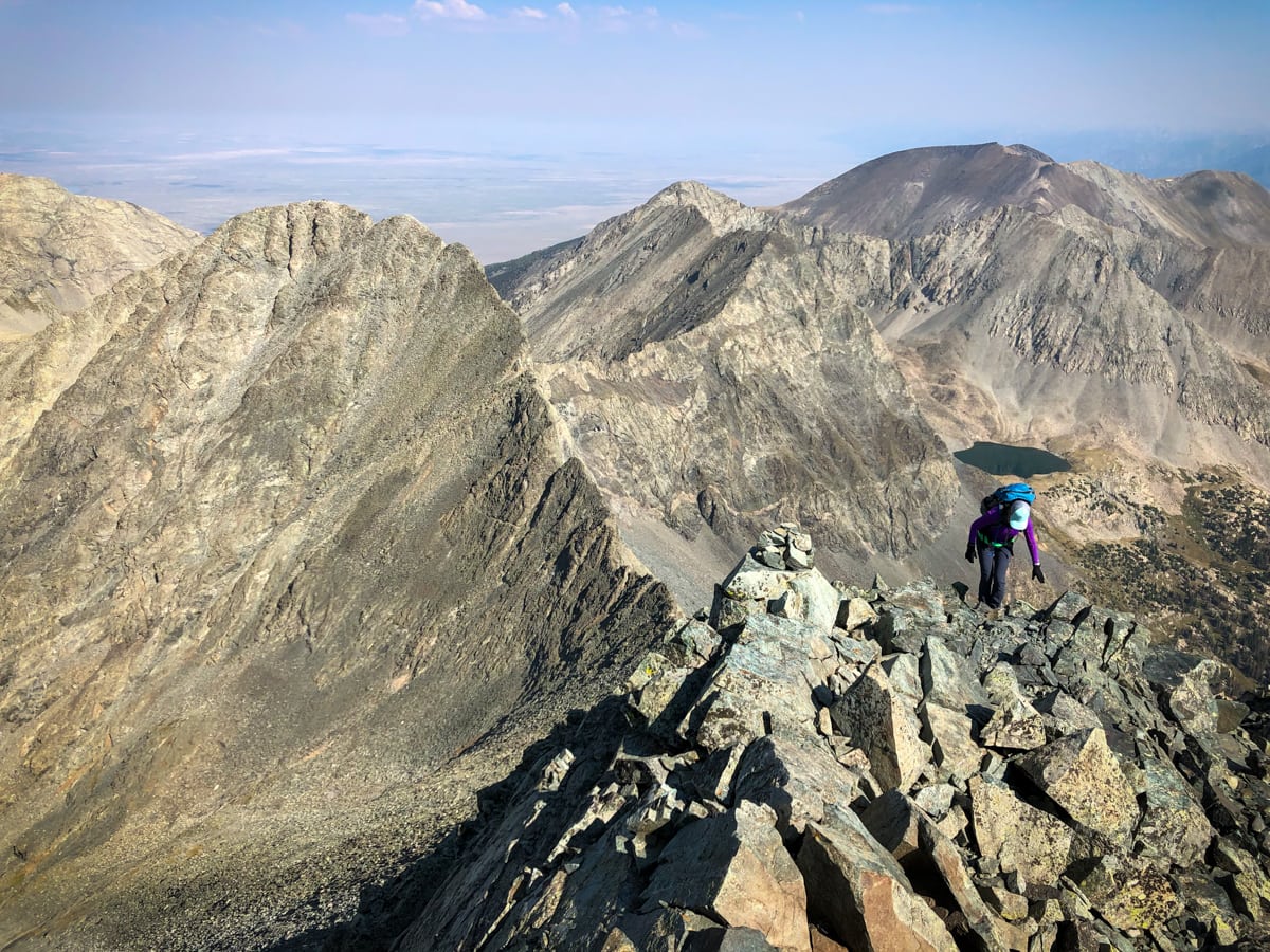
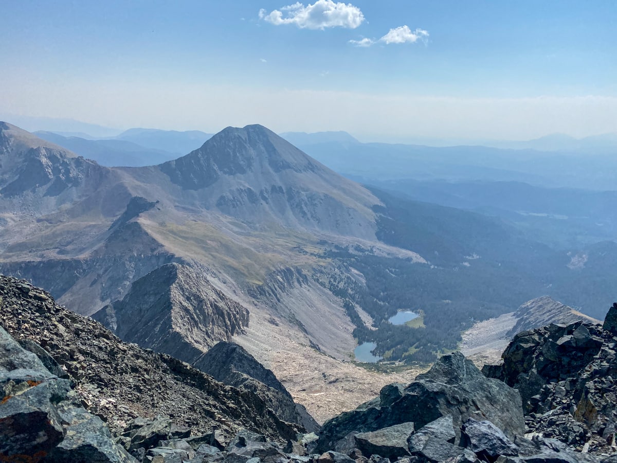
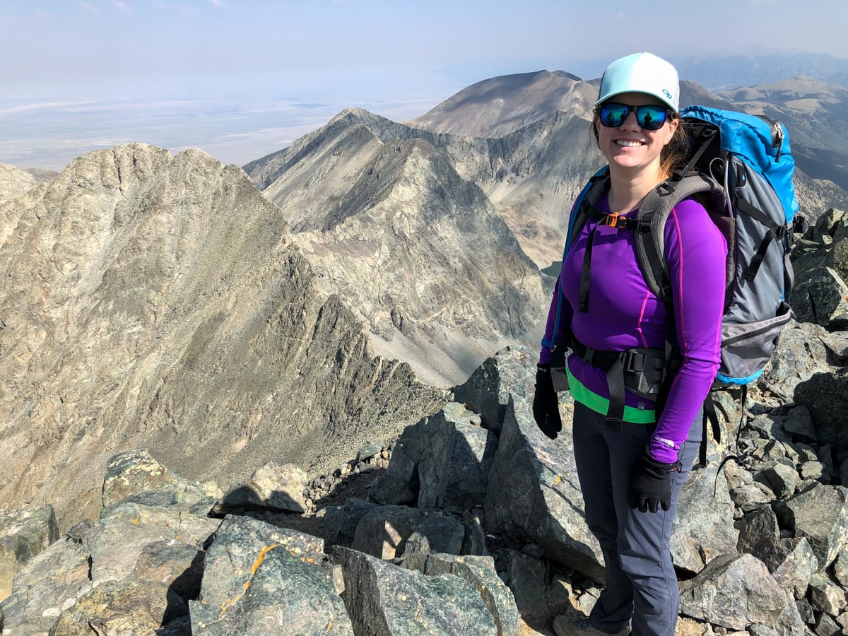
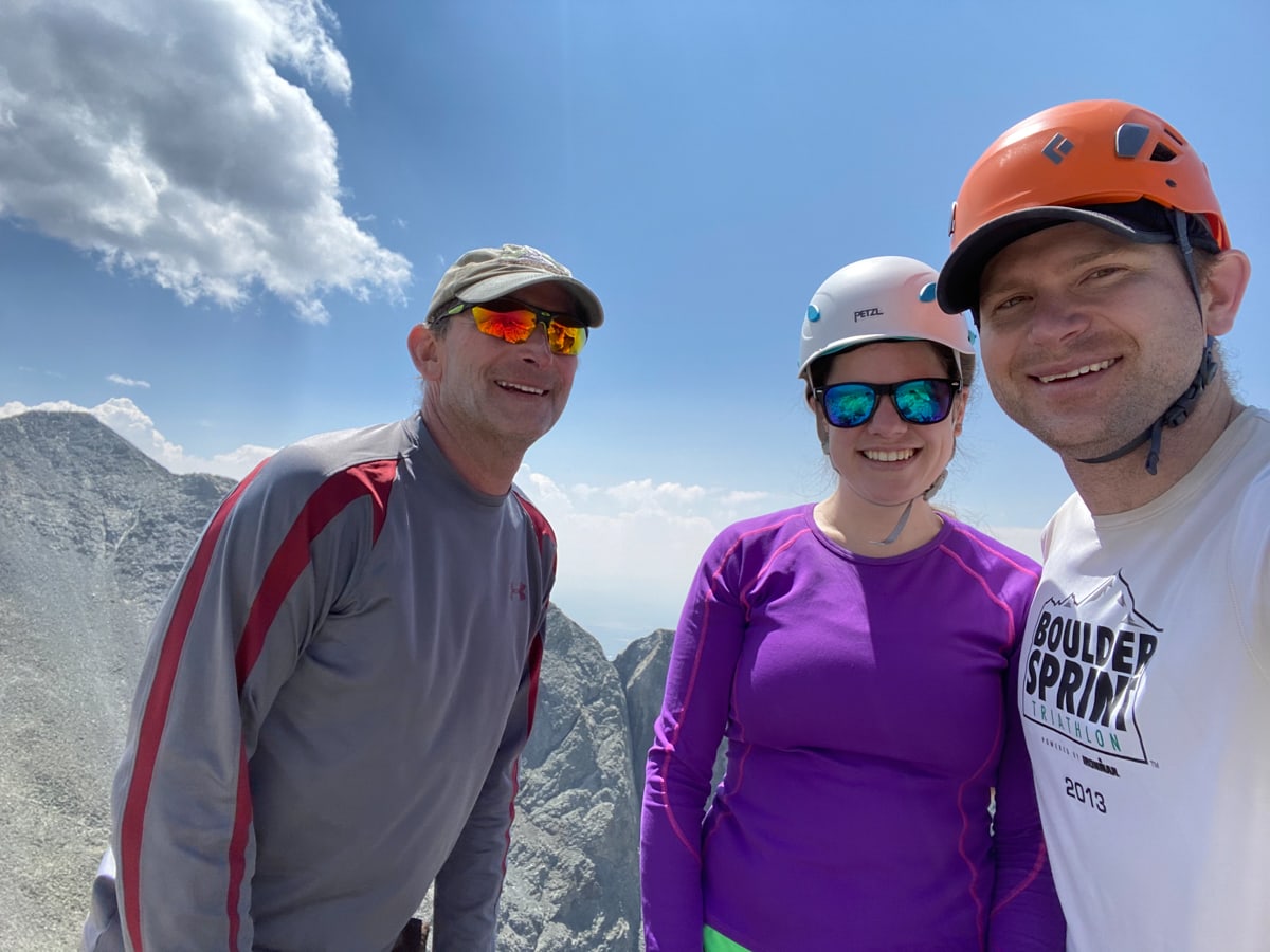
We headed up Blanca first, summiting around 9:30am. Blanca is considered an ‘ultra-prominent’ peak, technically meaning that it has a prominence of >1,500m, and practically meaning that the views from the top are spectacular. We took a few minutes to snack, enjoy our surroundings, and chat with the few other groups on top. Two groups arrived from the other side of the mountain – having just completed the tricky/challenging traverse from Little Bear. The group of women looked like they really knew what they were doing. The second group of men looked very happy to have been following in their footsteps.
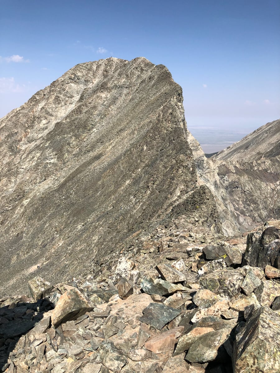
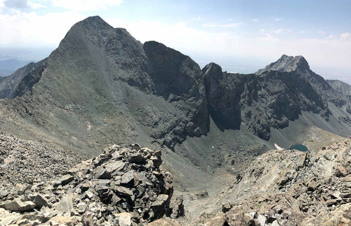
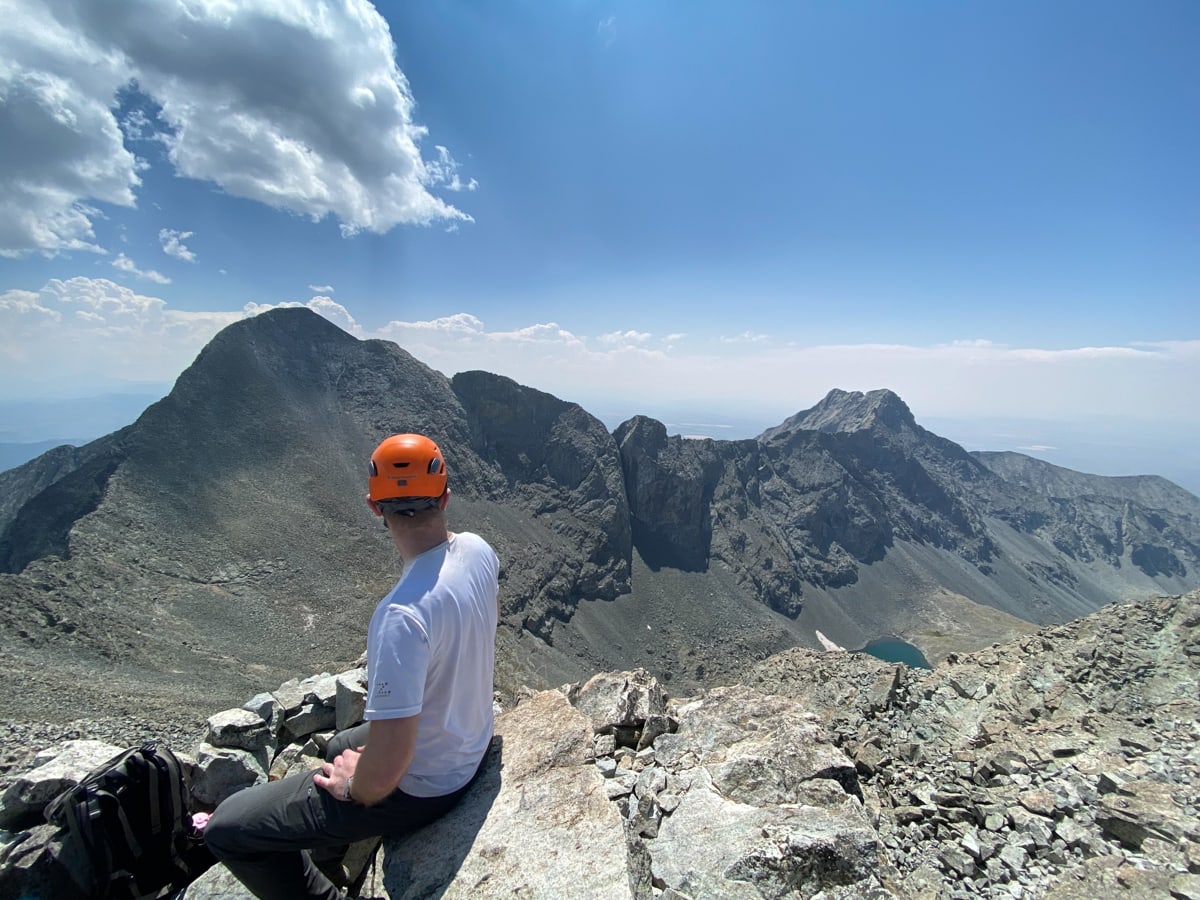
After scouting the various traverse options over to Ellingwood and watching some folks move slowly across them like ants, we ended up deciding to take a high route towards the next summit. After returning to the pass, we followed a ledge system underneath a system of spires – typically good footing, but with a couple tricky parts. Then we mostly scrambled up to the ridge, and followed it up to the peak. (The rock underfoot on Ellingwood isn’t particularly stable, so it looks like the “official trail” gets rearranged fairly often due to rockfall.) After another nice rest, we headed down to our campsite for the evening, exhausted but excited about our 2-bagger day.
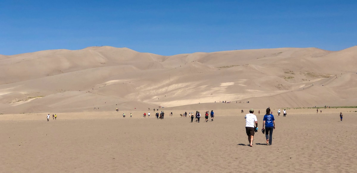
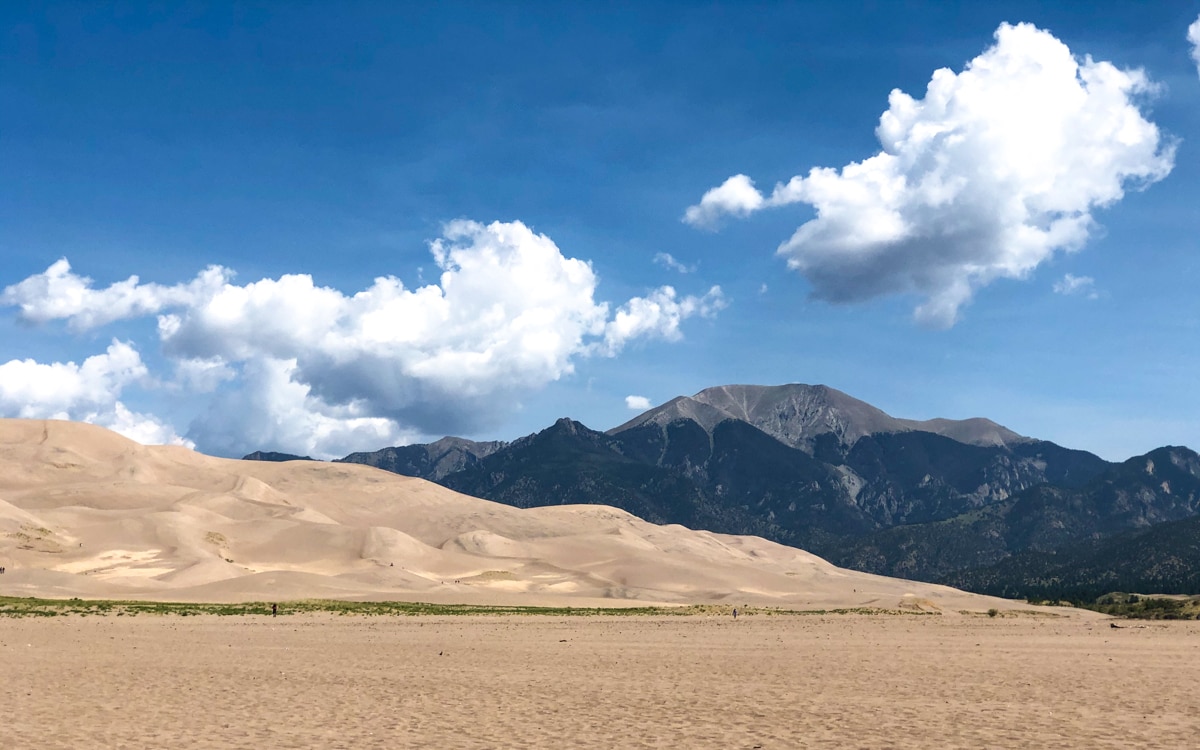
The next day was descent day. We packed up, walked by Lake Como again, and headed back down the long road, passing a couple very impressive looking vehicles along the way. After returning to the car and being overjoyed that it turned on (because we were really in the middle of nowhere), we started home. Rather than going back via Pueblo, we drove up the west side of the Sangres. This let us stop in briefly at the Great Sand Dunes National Park and do a quick 1mi hike across the dunes. It was packed with folks enjoying the sun, surfing/sledding on the sand, and generally hanging out. A few more hours later, we were home.
Great trip!
This Post Has 0 Comments